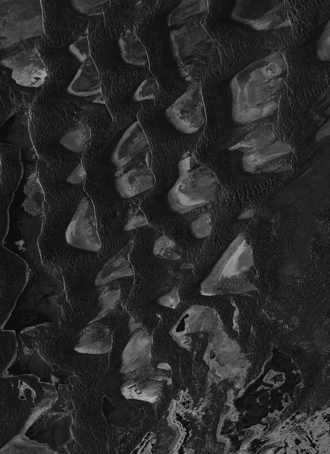
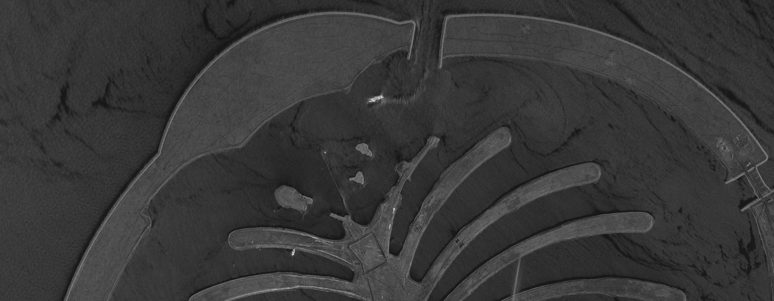
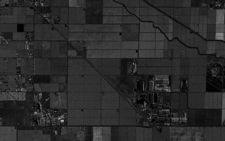
SAR satellite imagery of a shifting dune field from a 50cm-class X-band radar satellite, mapping dune shapes through dust, cloud and low light.
This satellite view of Shifting Sand Dunes (SAR) was captured from orbit, not by plane or drone. Click the aerial view to open it full size.
Aerial view of Shifting Sand Dunes (SAR) from space
Crescent-shaped dunes stand out as bright slopes facing the radar, with dark corridors of flat ground between them. Repeat images show how far and how fast each dune moves.
In the Middle East this matters for roads, pipelines and new districts built close to active sand. Radar keeps imaging through dust storms and at night.
What you can see in this aerial view
Crescent-shaped dunes
Bright slip faces and dark corridors
Dune spacing and direction of movement
Flat ground between dunes
Who uses satellite imagery of places like this
Infrastructure, pipeline and planning teams use SAR satellite imagery to track dune migration, spot early desertification and protect roads and pipeline corridors.
Order archive images or new tasking, from 15cm HD and 30cm optical to all-weather SAR, delivered worldwide as GeoTIFF. Tell us your area and we send available images and a price, usually within 24 hours.