Satellite View of University Campus, Washington DC
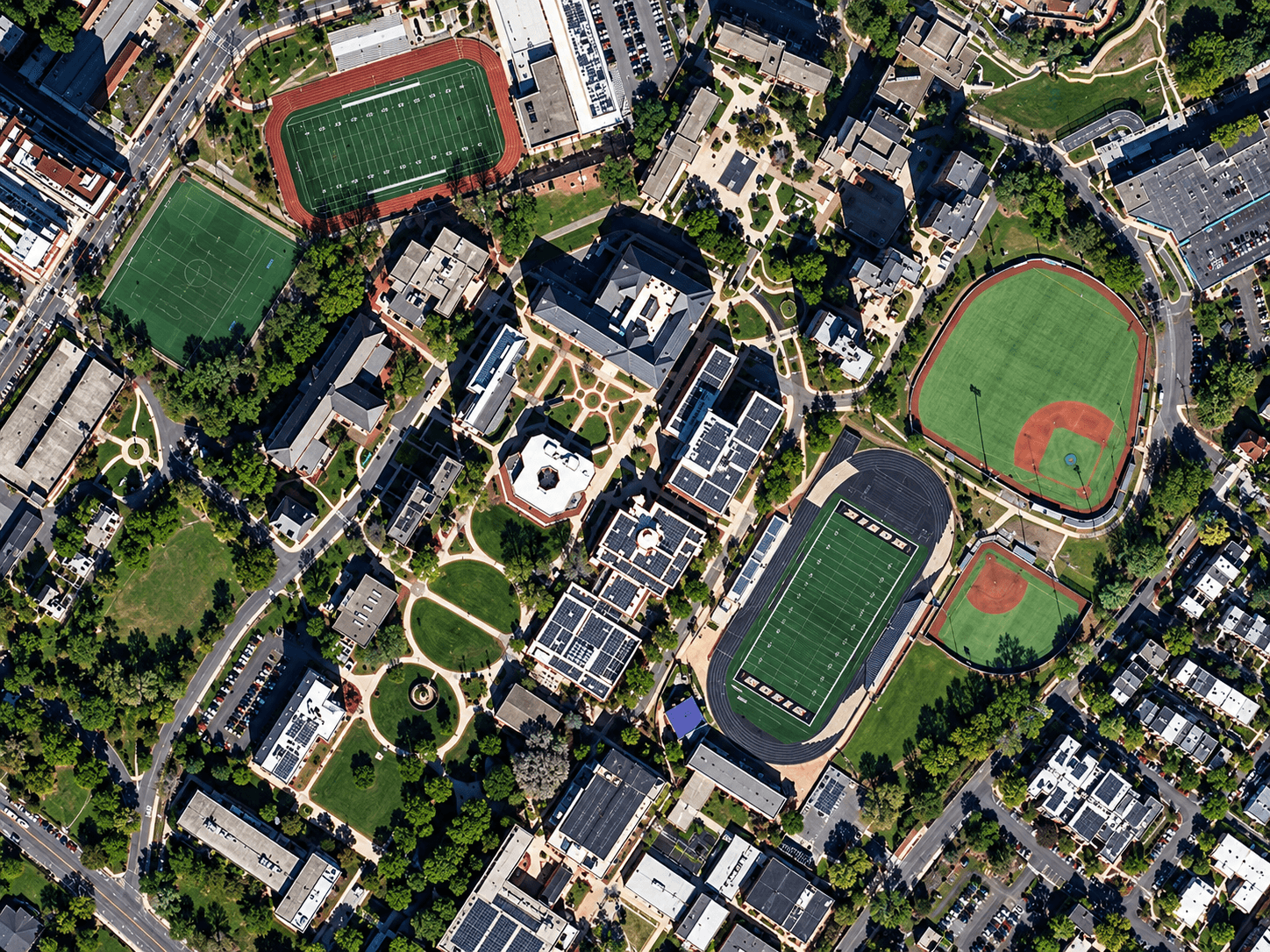
Satellite imagery of a university campus in Washington DC at 50cm, with sports fields, a baseball diamond, a running track and campus buildings.
This satellite view of University Campus, Washington DC was captured from orbit, not by plane or drone. Click the aerial view to open it full size.
Aerial view of University Campus, Washington DC from space
Green pitches, a red running track and a baseball diamond stand out against the tree-lined campus. Buildings, paths, car parks and the surrounding streets are all easy to map.
Campuses and sports grounds are often mapped with 50cm imagery for facility management, planning and security.
Order archive images or new tasking, from 15cm HD and 30cm optical to all-weather SAR, delivered worldwide as GeoTIFF. Tell us your area and we send available images and a price, usually within 24 hours.