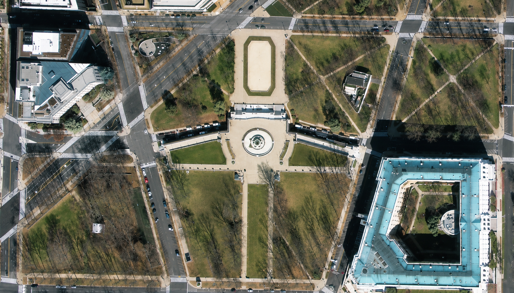
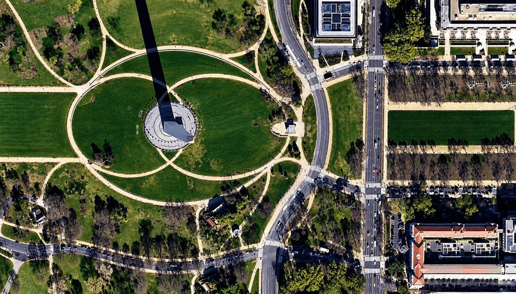
Satellite imagery of parkland in central Washington DC from SuperView-2, with an oval lawn, diagonal footpaths and large government buildings.
This satellite view of Central Washington DC Parkland was captured from orbit, not by plane or drone. Click the aerial view to open it full size.
Aerial view of Central Washington DC Parkland from space
An oval lawn and circular plaza sit among a web of diagonal footpaths, with a large building with a green roof on the right and office blocks at the top left.
Open parkland is a good test of how a sensor handles subtle tones: grass, paths and tree shadows all stay clear here.
What you can see in this aerial view
An oval lawn and circular plaza
Diagonal footpaths and trees
A large building with a green roof
Roads and office blocks
Who uses satellite imagery of places like this
Planners and mapping teams use 40cm satellite imagery for park and public space mapping.
Order archive images or new tasking, from 15cm HD and 30cm optical to all-weather SAR, delivered worldwide as GeoTIFF. Tell us your area and we send available images and a price, usually within 24 hours.