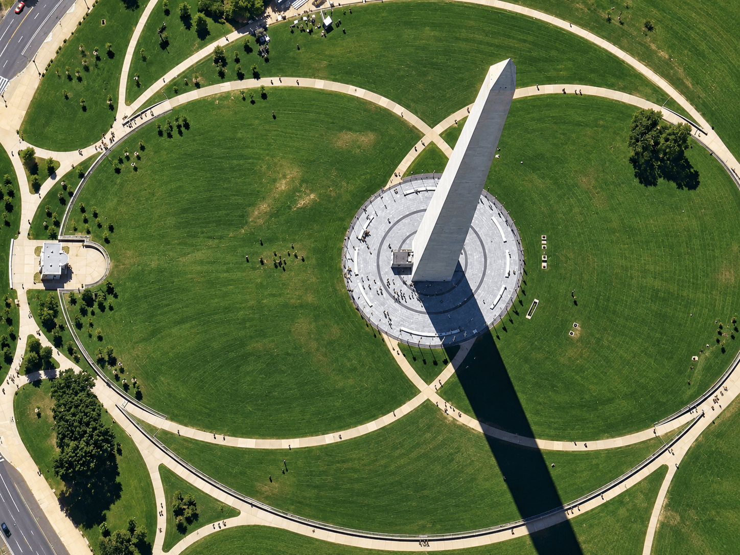
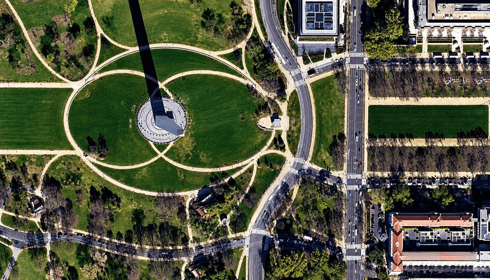
Satellite imagery of the Washington Monument at 30cm, with the obelisk, its long shadow and the circular plaza in sharp detail.
This satellite view of Washington Monument (30cm) was captured from orbit, not by plane or drone. Click the aerial view to open it full size.
Aerial view of Washington Monument (30cm) from space
At 30cm the obelisk looks almost three dimensional: the satellite views it slightly off vertical, so one face of the monument is visible, and its shadow runs across the lawn. The flagpole ring, paved plaza and curved footpaths are clear.
Compare this view with the 50cm SuperView Neo-3 image of the same place in the gallery to see what the extra resolution adds.
What you can see in this aerial view
The obelisk and one visible face
A long shadow across the lawn
The circular plaza and flagpoles
Curved footpaths and trees
Who uses satellite imagery of places like this
Mapping teams and agencies use 30cm satellite imagery for detailed mapping of public spaces and landmarks.
Order archive images or new tasking, from 15cm HD and 30cm optical to all-weather SAR, delivered worldwide as GeoTIFF. Tell us your area and we send available images and a price, usually within 24 hours.