Satellite imagery costs between $1 and $30+ per square kilometre depending on resolution and collection type. That pricing surprises most first-time buyers. This blog breaks down exactly why it costs what it costs, what you are actually paying for, and where XRTech Group prices sit compared to the market.
Quick Answer: Why Is Satellite Imagery Expensive?
- Building and launching a satellite costs hundreds of millions of dollars.
- Higher resolution requires more advanced optics and sensors, which cost significantly more to manufacture.
- Tasking a satellite to capture a specific area on a specific date is an operational cost on top of the hardware.
- Delivering usable imagery requires orthorectification, atmospheric correction, and quality processing that requires computing power and expertise.
- The market has historically been dominated by a small number of providers with no competitive pricing pressure.
The Satellite Itself Costs Hundreds of Millions of Dollars

Before a single image is captured, a satellite provider has spent years and enormous capital designing, building, testing, and launching the sensor. A commercial very high resolution satellite typically costs $200 million to $500 million to build and launch. That does not include ground station infrastructure, mission control, data processing systems, or the team to run them.
Once in orbit, the satellite is exposed to radiation, thermal extremes, and the constant risk of hardware failure with no possibility of repair. Operators carry that risk entirely. Imagery pricing reflects the need to recover those costs over a satellite lifetime of 7 to 10 years before the hardware degrades or is replaced.
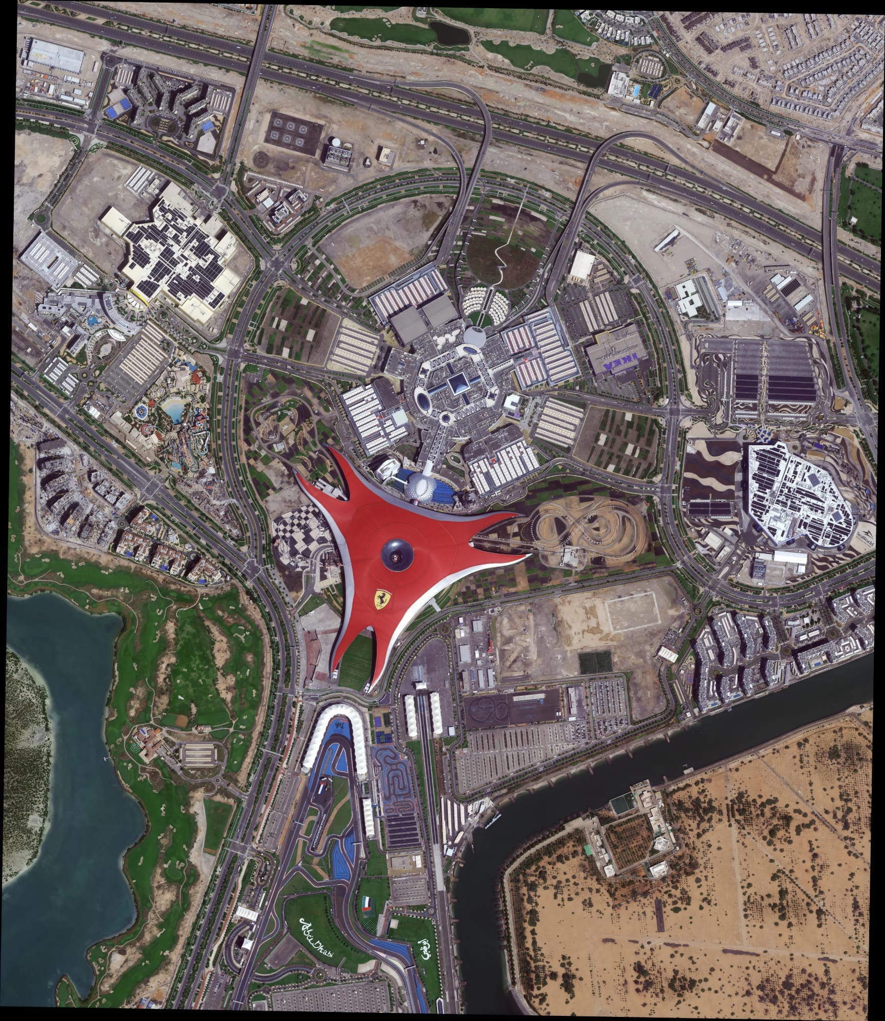
XRTech Group’s satellite constellation includes SuperView Neo-1 at 25 cm native resolution. Satellites at that resolution tier represent some of the most capital-intensive assets in commercial remote sensing.
Resolution Directly Drives Price

The finer the resolution, the more expensive the imagery. This is not arbitrary pricing. Capturing a 25 cm pixel rather than a 1 m pixel requires a physically larger optical aperture, more precise attitude control, higher data throughput, and more sophisticated processing. Every step in the chain costs more.
XRTech Group’s pricing reflects this clearly:
| Resolution | Type | Price from |
|---|---|---|
| 2 m | Archive | $1/km² |
| 51 to 80 cm | Archive | $5/km² |
| 31 to 50 cm | Archive | $13/km² |
| 25 to 30 cm | Archive | $20/km² |
| 25 to 30 cm | New tasking | $30/km² |
| 25 to 30 cm | Priority tasking | $37/km² |
| 25 to 30 cm | Emergency tasking | $80/km² |
Moving from 2 m to 25 cm is a 20x price increase. That is a direct reflection of sensor complexity, not margin.
Archive vs. Tasking: Why Tasking Costs More
Archive imagery is data already captured and stored. Buying archive is cheaper because the collection cost has already been paid and the product exists. XRTech Group delivers 25 cm archive imagery from $20/km² with 48-hour delivery.
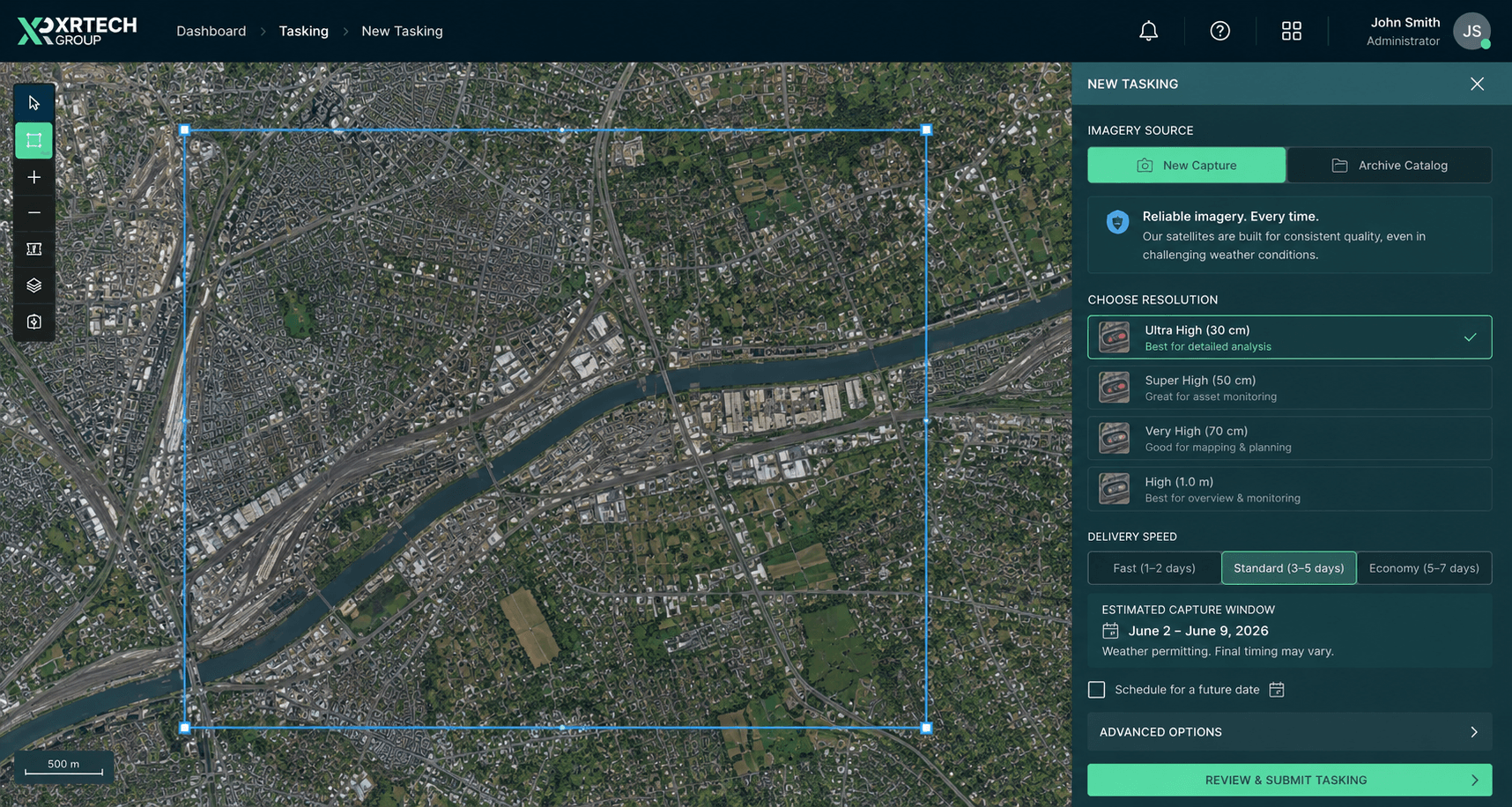
Satellite Tasking is different. You are asking a satellite to be re-oriented to capture a specific area on a specific date. That uses up orbital passes that could serve other customers, requires scheduling across a constellation, and carries cloud cover risk that may require multiple attempts. Standard tasking at XRTech starts at $8/km² for 25 to 30 cm resolution with delivery in 7 days.
Priority and emergency tasking cost more because they require the satellite to be redirected away from already-scheduled captures. Emergency collection at $80/km² means XRTech bumps existing orders and tasks the next available pass over your area. That operational priority has a price.
Processing Turns Raw Data Into Usable Imagery

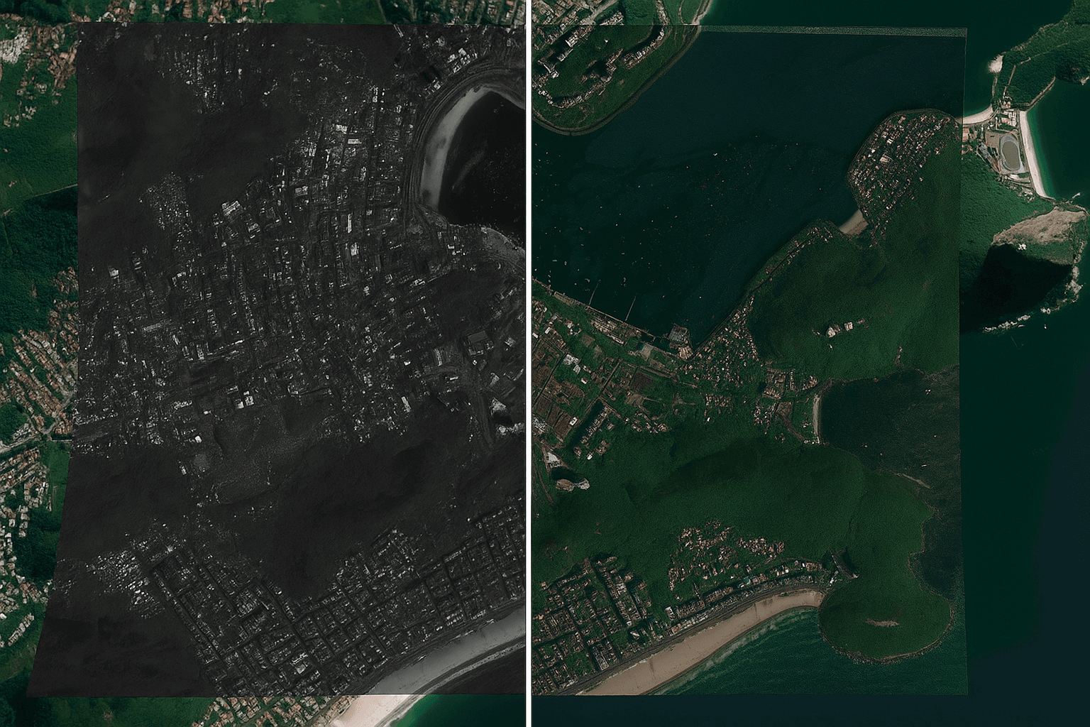
Raw satellite data is not an image you can open in a GIS. It is a stream of sensor readings that must be converted into a georeferenced, atmospherically corrected, orthorectified product before it is analytically usable.
Orthorectification corrects geometric distortion caused by terrain and sensor angle. Atmospheric correction removes haze, scattering, and illumination effects. Radiometric calibration ensures pixel values represent real-world surface reflectance rather than sensor artefacts. All of this requires computing infrastructure and expert processing pipelines.
XRTech Group delivers LEVEL2A orthorectified products as standard. That processing is built into the price. Some providers charge separately for each processing level. Understanding what level of processing is included in a quoted price matters when comparing costs across providers.
The Market Has Been Historically Closed

Satellite imagery started as a government and military technology. For decades, the only buyers were national agencies, defence contractors, and large infrastructure firms with multi-year contracts, minimum area commitments, and long procurement cycles.
Commercial providers built their pricing around that market. Six-week delivery timelines, volume minimums, and contract requirements were standard because buyers had no alternatives and no leverage. Pricing did not face competitive pressure because the barrier to entry was enormous.
That is starting to change. New constellations, more competitive operators, and providers like XRTech Group with no long-term contracts, and transparent per km² pricing are making satellite imagery accessible to buyers of any size. But legacy pricing from the closed-market era still exists across the industry, which is why some providers still quote $30+ per km² for data that XRTech delivers at $20.
Is Satellite Imagery Getting Cheaper?
Yes, slowly. Launch costs have fallen significantly over the past decade as reusable rockets reduced the cost of getting mass to orbit. More satellite operators have entered the market, particularly in the medium resolution tier, which has driven prices down for 1 m to 5 m data. Sentinel-2 at 10 m resolution is free.
Very high resolution and super high resolution imagery below 50 cm remains expensive because the sensor technology required is genuinely difficult and capital-intensive to build and operate. Prices at this tier have come down but not dramatically, because the number of providers who can do it is still small.
What has changed is accessibility. You no longer need a six-week procurement process, a multi-year contract, or a minimum order of 500 km² to buy 25 cm imagery. XRTech Group’s minimum archive order is 25 km² at $25 total for 2 m resolution.
Common Misconceptions About Satellite Imagery Pricing
“Google Earth is free, so satellite imagery should be free.” Google Earth uses imagery that Google licenses at significant cost and subsidises as part of its advertising business. The underlying data is not free. Google just pays for it instead of the user.
“I only need a small area, so it should be cheap.” Processing, delivery, and scheduling all carry fixed costs that do not scale with area. That is why minimum order areas exist. XRTech Group’s 25 km² minimum is one of the lowest in the market.
“Archive imagery should cost almost nothing since it already exists.” Storage, processing, licensing, and distribution all have ongoing costs. Archive imagery is cheaper than tasking, but it is not free to deliver.
“All 30 cm imagery costs the same.” It does not. Pricing varies by provider, region, age of the archive, processing level, and delivery speed. XRTech Group archive at 25 to 30 cm starts at $20/km². Some Western providers charge $40 to $60/km² for equivalent data.
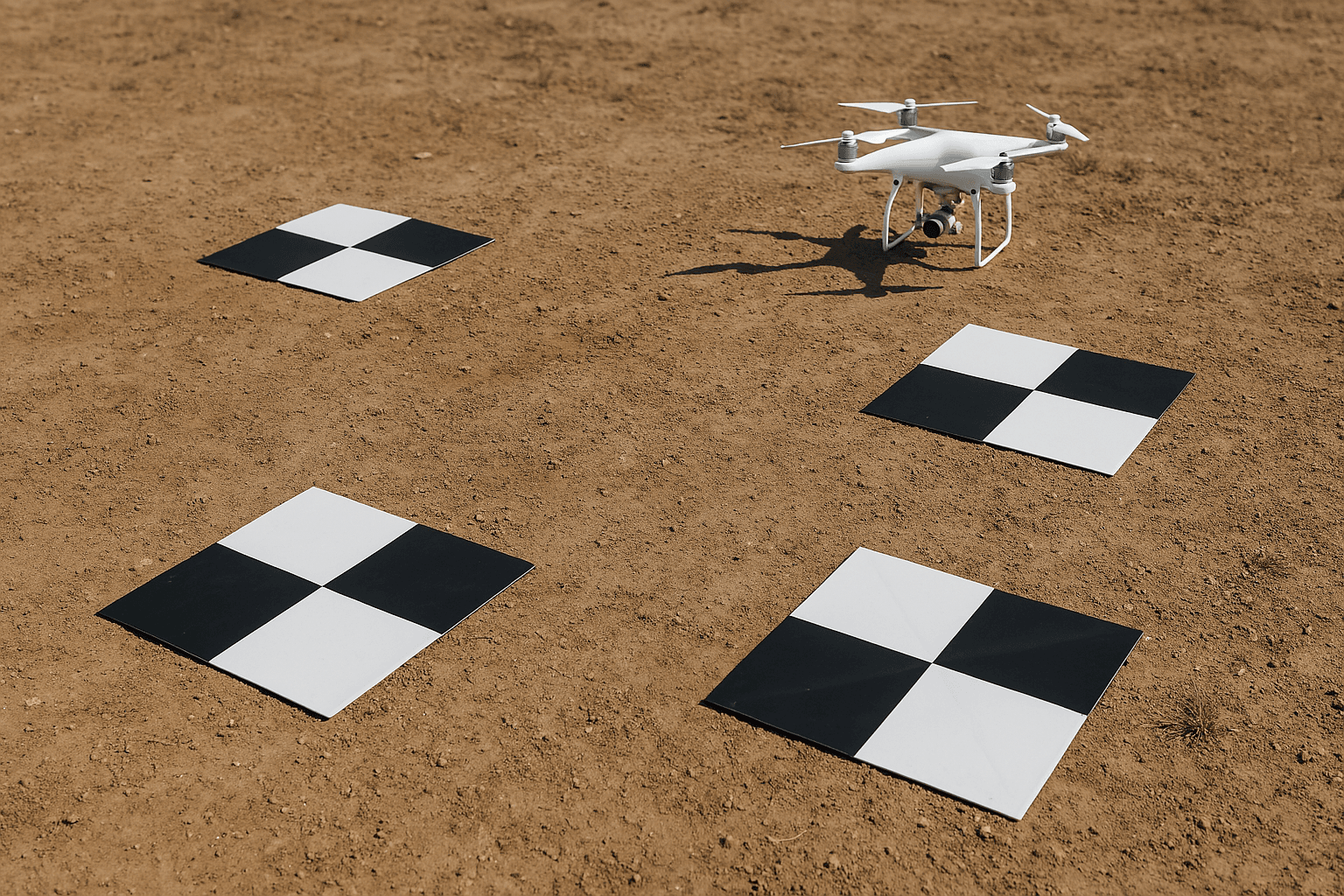
Satellite Imagery vs Traditional Survey Methods: Full Cost and ROI Comparison
Traditional ground surveys, aerial photography, and drone operations all produce spatial data. So does satellite imagery. The difference is what it costs to cover the same area, how long it takes, and what risks sit between you and a usable result.
| Factor | Satellite Imagery | Aerial Survey | Drone Survey | Ground Survey |
|---|---|---|---|---|
| Cost per km² | $1 to $80 | $50 to $200 | $100 to $500 | $500 to $5,000 |
| Minimum practical area | 25 km² | 5 to 10 km² | 0.5 to 5 km² | Any |
| Coverage per day | Unlimited | 500 to 2,000 km² | 2 to 50 km² | 0.5 to 5 km² |
| Time from order to data | 48 hours (archive) | 2 to 6 weeks | 1 to 5 days | 1 to 8 weeks |
| Weather dependency | Moderate (optical), None (SAR) | High | High | Medium |
| Cloud cover workaround | SAR available | None | None | Not applicable |
| Remote area access | Any location globally | Requires airspace clearance | Requires physical access | Requires physical access |
| Manual labour required | None | High | Medium | Very high |
| Human error risk | Low | Medium | Medium | High |
| Repeatability | Same parameters every time | Varies by crew and conditions | Varies by pilot | Varies by crew |
| Legal/airspace restrictions | None | Country-specific permits | Strict in most jurisdictions | None |
| Historical data access | Archive from 1999 onward | Limited to specific projects | Not available | Not applicable |
| Resolution range | 25 cm to 10 m+ | 5 cm to 1 m | 2 cm to 30 cm | N/A (point measurement) |
Cost Comparison: Same Area, Different Methods
Take a 500 km² project, typical for infrastructure corridor mapping, regional agriculture monitoring, or post-disaster assessment.
| Method | Estimated cost for 500 km² | Estimated time to data |
|---|---|---|
| Satellite archive (2 m) | $500 | 48 hours |
| Satellite archive (30 cm) | $10,000 | 48 hours |
| Satellite new tasking (30 cm) | $4,000 | 7 days |
| Aerial survey (30 cm) | $25,000 to $100,000 | 3 to 6 weeks |
| Drone survey (10 cm) | $50,000 to $250,000 | Weeks to months |
| Ground survey | Not practical at this scale | Months |
For 500 km², ground survey is effectively not an option. Drone survey requires hundreds of flight hours and a large field team. Aerial survey requires aircraft, crew, permits, and good weather across multiple days. Satellite archive delivers the same area in 48 hours at a fraction of the cost.
Where Satellite Imagery Wins on ROI
- No mobilisation cost. A ground or drone survey requires moving equipment and people to the site. For a site in a remote area, desert, or post-disaster zone, that mobilisation can cost more than the survey itself. Satellite imagery has no mobilisation cost regardless of where the area is.
- No weather delay cost. A drone crew grounded for three days by rain still costs money. An aerial survey rescheduled twice due to cloud cover adds weeks to a project timeline. XRTech Group’s SAR imagery captures through cloud cover and rain with no delay. Optical archive orders can specify cloud cover thresholds, and rejected scenes are not charged.
- No access restriction. Active conflict zones, flooded regions, restricted military areas, and remote ocean territories are all inaccessible to ground and drone teams. Satellite imagery covers all of them. That coverage is not a premium product. It is the standard product.
- Repeatability at no extra cost. A drone resurvey of the same 500 km² corridor costs the same as the first survey. A satellite archive re-order of the same area costs $500. Change detection, time series analysis, and progress monitoring are economically viable with satellite imagery in ways they are not with ground or aerial methods.
- No human error in collection. Ground survey accuracy depends on the individual surveyor. Drone data quality depends on the pilot, flight plan, and GCP placement. Satellite capture is automated, calibrated, and consistent. LEVEL2A orthorectification is applied to every XRTech delivery as standard, removing the geometric variation that field-collected data introduces.
- Immediate archive access. Need to know what a site looked like in 2019 before development started? Satellite archive goes back to 1999. No equivalent exists for drone or ground survey unless the client commissioned it at the time.
Frequently Asked Questions
Why is satellite imagery so expensive?
Satellite imagery is expensive because of the capital cost of building and launching sensors, the technical complexity of capturing and processing high-resolution data, and the historically small, closed market that did not drive competitive pricing. A single high-resolution satellite costs $200 million to $500 million to build and launch. That cost is recovered through imagery sales over a 7 to 10 year lifespan.
How much does satellite imagery cost per km²?
XRTech Group archive imagery starts at $1/km² for 2 m resolution and $20/km² for 25 to 30 cm super high resolution. New tasking starts at $8/km². Emergency collection starts at $80/km². Pricing varies by resolution, collection type, and delivery speed.
Why does higher resolution cost more?
A smaller pixel requires a physically larger aperture, more precise optics, higher data throughput, and more processing. Every component in the chain is more expensive. Moving from 2 m to 25 cm resolution is a 20x price increase that reflects genuine engineering cost, not arbitrary margin.
What is the difference between archive and tasking pricing?
Archive imagery has already been captured. You pay for delivery and processing. Tasking asks the satellite to capture your area on a future date, which uses orbital passes, carries cloud cover risk, and may require multiple attempts. Tasking is operationally more expensive, which is why it costs more.
Why does emergency satellite tasking cost so much?
Emergency tasking at XRTech Group starts at $80/km² because it requires bumping already-scheduled captures and redirecting the satellite to your area immediately. You are paying for priority access to the next available orbital pass, not just the imagery itself.
Is satellite imagery getting cheaper?
Medium resolution imagery has become significantly cheaper and some is now free. Very high resolution below 50 cm has come down in price but remains expensive because the hardware is difficult and costly to build. The bigger change is accessibility: minimum orders, contracts, and long procurement cycles are no longer required from providers like XRTech Group.
Why is XRTech Group satellite imagery cheaper than Western providers?
XRTech Group operates a newer constellation with lower launch costs and a cost structure that does not carry the overhead of legacy Western programmes. The same 25 cm resolution class that costs $30 to $50/km² from major Western providers is available from XRTech at $20/km² archive.
Why do satellite imagery providers have minimum order areas?
Scheduling, processing, and delivery all carry fixed costs per order regardless of how small the area is. Minimum order areas ensure those fixed costs are covered. XRTech Group’s minimum is 25 km² for archive, which is among the lowest in the market at a minimum spend of $25 for 2 m resolution.
10 Key Points: Why Satellite Imagery Is Expensive
- A single high-resolution satellite costs $200 million to $500 million to build, test, and launch.
- Higher resolution requires more advanced optics, better attitude control, and more computing, all of which cost more.
- Archive imagery is cheaper than tasking because the collection cost has already been paid.
- Emergency and priority tasking carries an additional cost because it displaces already-scheduled captures.
- Processing raw sensor data into usable GIS-ready imagery requires significant computing and expertise that is built into the price.
- The market was historically closed to government and military buyers, which meant no competitive pricing pressure.
- XRTech Group archive at 25 to 30 cm starts at $20/km², significantly below comparable Western provider pricing.
- Medium resolution imagery is now much cheaper and freely available through programmes like Sentinel-2 at 10 m.
- Very high resolution below 50 cm remains expensive because the sensor technology is genuinely difficult and capital-intensive.
- Minimum order areas exist because fixed processing and delivery costs do not scale with area.
Order Satellite Imagery from XRTech Group
XRTech Group archive imagery starts at $1/km² for 2 m and $20/km² for 25 to 30 cm super high resolution, delivered in 48 hours. New tasking starts at $8/km². Request a free sample tile before placing any order.
Contact: admin@xrtechgroup.com | +971 58 885 3151

