Quick answer: Yes, but only radar satellites can see through clouds. Synthetic aperture radar (SAR) satellites send their own microwave pulses, which pass through clouds, rain, fog, smoke and darkness, so they image the ground in any weather, day or night. Optical satellites, the ones that take colour photos like the images in Google Earth, cannot see through clouds. They rely on reflected sunlight, and cloud droplets scatter that light before it reaches the camera.
Clouds cover about two thirds of Earth at any moment, so this matters to anyone who needs an image of a site on a set date. If cloud keeps blocking your area, SAR satellite imagery is the reliable option. If you need a natural colour photo, you can buy satellite imagery from the optical archive and filter scenes by cloud cover, or task a new capture on a clear day.
Which Satellites Can See Through Clouds?
Satellite sensor
Sees through clouds?
What you get
Optical (visible colour)
No
Natural colour photo; needs daylight and a clear sky
Near and shortwave infrared
No, only thin haze
Vegetation and moisture bands; blocked by thick cloud
Thermal infrared (weather satellites)
No, sees the cloud tops
Cloud and storm temperature, not the ground
SAR radar (X, C and L band)
Yes
Greyscale image of surface shape and texture, day or night
Passive microwave
Yes, mostly
Coarse rain, sea ice and soil moisture data, kilometres per pixel
Why Optical Satellites Cannot See Through Clouds
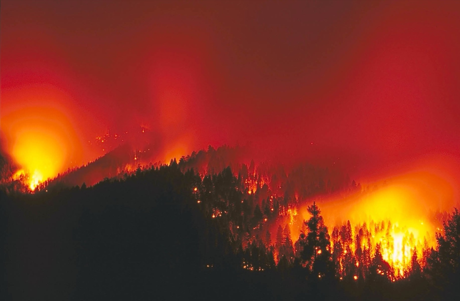
An optical satellite works like a camera. It records sunlight that bounces off the ground. Cloud droplets are about 10 to 20 micrometres wide, larger than the wavelength of visible light, so they scatter that light in every direction. The satellite sees the bright top of the cloud instead of the ground below it, plus a dark cloud shadow next to it.
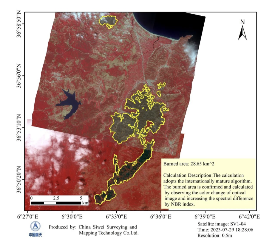
Infrared bands do not solve this. Thin haze can be corrected, but thick cloud blocks near infrared, shortwave infrared and thermal infrared too. Optical satellites also need daylight, so they cannot image the ground at night. This is why every optical scene is sold with a cloud cover percentage, and why cloudy regions can wait weeks for a usable picture.
How SAR Satellites See Through Clouds
SAR is an active sensor. It sends microwave pulses to the ground and measures the echoes that come back. Radar wavelengths are long: about 3 cm in X band, 5.6 cm in C band and 24 cm in L band. That is thousands of times larger than a cloud droplet, so the signal passes through cloud, rain, fog and smoke almost untouched. Because the satellite makes its own signal, it works at night as well.
The trade-off is that a SAR image is not a photo. Brightness shows how much signal bounces back. Buildings, metal and rough ground look bright. Calm water and smooth runways look dark. The result is greyscale, and it takes some training to read, but it is ideal for spotting change, water and structures.
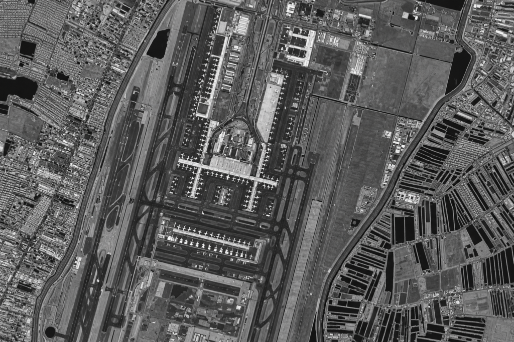
SAR image of an airport: runways and water look dark, terminals, aircraft and buildings look bright. Radar captures this through cloud and at night.
Radar Satellites That Image Through Clouds Today
- Sentinel-1C and Sentinel-1D: the free European C band radar pair, now operating together after Sentinel-1A retired. See our Sentinel-1 SAR data guide.
- NISAR: the joint NASA and ISRO mission, the first to carry both L band and S band radar, now releasing open data.
- GF-3: C band SAR with 12 imaging modes and resolution down to 1 m.
- LT-1: L band SAR pair built for mapping ground movement.
- RADARSAT Constellation: Canada's three satellite C band mission for maritime and ice monitoring.
Free radar such as Sentinel-1 is good for wide areas at about 5 m to 20 m. For sharper detail of one site, XRTech Group supplies high resolution SAR imagery in L, C and X band, as archive scenes or new tasking.
When to Use SAR Instead of Optical Imagery
- Cloudy and tropical regions: monsoon, rainy season and coastal fog.
- Floods and storms: water shows up dark, even under the storm clouds.
- Oil spills and ships: slicks smooth the sea surface, and vessels stand out bright.
- Ground movement: InSAR measures subsidence and deformation down to millimetres.
- Night or urgent captures: radar does not wait for daylight or a clear sky.
Choose optical when you need natural colour, easy visual reading or vegetation health, and the sky is clear. Many projects use both: SAR for a guaranteed capture, optical for the clearest picture.
Need Imagery Through Cloud Cover?
XRTech Group supplies SAR satellite imagery that captures your site in any weather, day or night, plus optical archive and new tasking when skies are clear. Tell us your area and dates, and we will recommend and quote the right sensor.
Frequently Asked Questions
Can satellites see through clouds?
Radar satellites can. Synthetic aperture radar (SAR) uses microwaves that pass through clouds, rain, fog and smoke. Optical satellites cannot, because cloud droplets scatter the sunlight their cameras rely on.
Can Google Earth see through clouds?
No. Google Earth uses optical satellite and aerial photos. It shows cloud-free images by picking clear scenes and stitching them together, often from different dates.
Can satellites see at night?
SAR satellites image the ground at night because they send their own signal. Optical satellites cannot, apart from night light sensors that record city lights and thermal sensors that record heat.
Can satellites see through rain and smoke?
Radar satellites see through rain, fog and wildfire smoke. Very heavy rain can slightly weaken short wavelength X band radar, while C band and L band are barely affected. Optical satellites are blocked by thick smoke.
Is SAR satellite imagery in colour?
No. SAR images are greyscale, because they show how much radar signal bounces back, not colour. False colour versions can be made by combining different polarisations or dates.
How do I get satellite imagery of a cloudy area?
Order SAR imagery, which captures the site regardless of cloud. For optical, search the archive with a low cloud cover filter or task a new capture and let the provider retry until the sky is clear.
Sources
- NASA Earth Observatory: Cloud cover and global cloud fraction
- European Space Agency: Sentinel-1 mission and Sentinel-1A end of operations
- Copernicus Data Space Ecosystem: Sentinel-1D user data opening
- NASA Jet Propulsion Laboratory: NISAR mission
- NASA Earthdata: What is synthetic aperture radar
- Canadian Space Agency: RADARSAT Constellation Mission