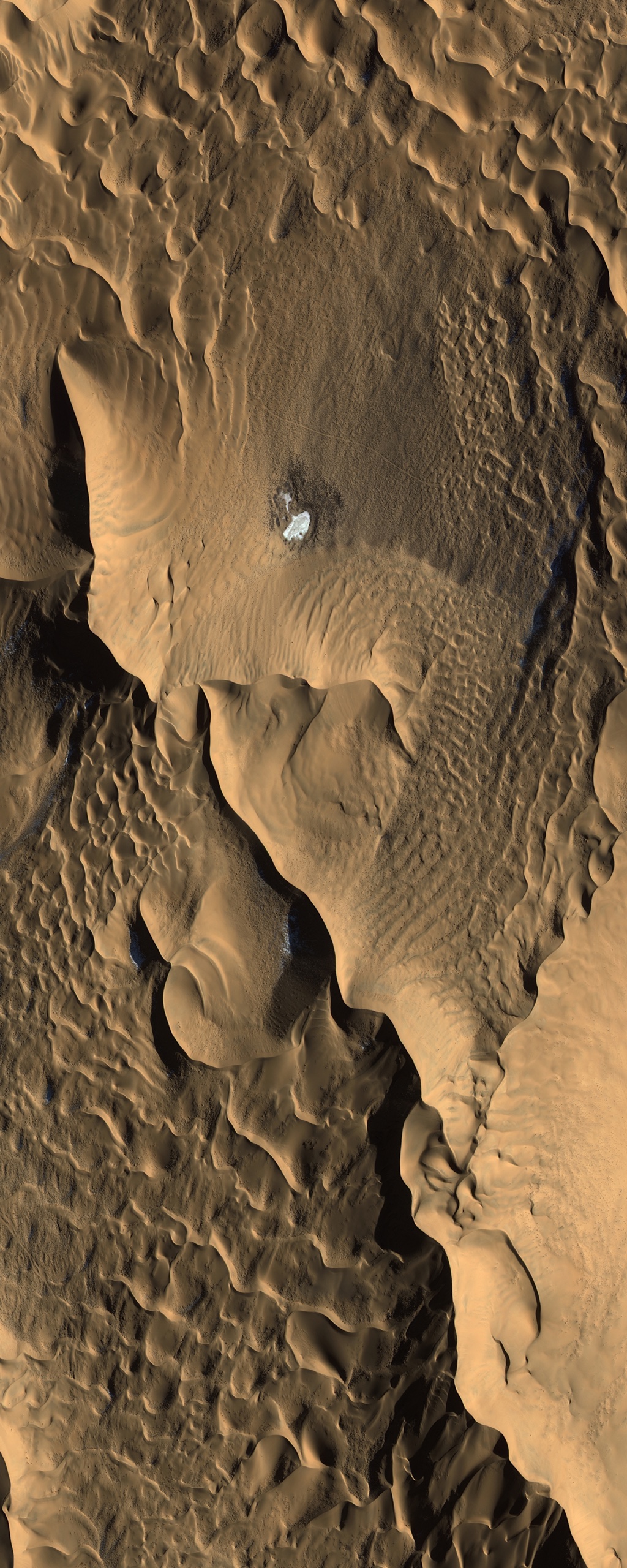
A sub-metre optical satellite image of the Badain Jaran Desert in Inner Mongolia, home to some of the tallest stationary sand dunes on Earth.
This satellite view of Badain Jaran Desert Dunes was captured from orbit, not by plane or drone. Click the aerial view to open it full size.
Aerial view of Badain Jaran Desert Dunes from space
The Badain Jaran is famous for megadunes and for small lakes that sit in the hollows between them. In this image, sharp dune crests, wind ripples and a small bright lake show how wind shapes the desert surface.
Desert imagery helps geologists, engineers and environmental teams study dune movement, plan pipelines and roads, and track water bodies in dry regions.
What you can see in this aerial view
Sharp dune crests and slip faces
Wind ripples across the sand
A small lake in a dune hollow
Shadows that show dune height
Who uses satellite imagery of places like this
Geologists, mining and energy teams use imagery like this for terrain studies, route planning and environmental monitoring.
Order archive images or new tasking, from 15cm HD and 30cm optical to all-weather SAR, delivered worldwide as GeoTIFF. Tell us your area and we send available images and a price, usually within 24 hours.