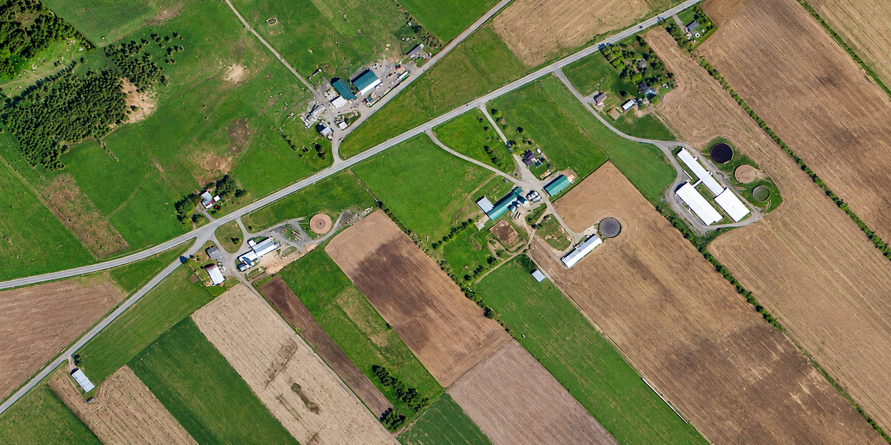
A TripleSat 80cm satellite image of farmland in Canada, with long crop strips, rural roads and farm buildings.
This satellite view of Farmland, Canada was captured from orbit, not by plane or drone. Click the aerial view to open it full size.
Aerial view of Farmland, Canada from space
Neat strips of green and harvested fields cover the scene, crossed by rural roads and dotted with farm buildings. Field edges and drainage lines are easy to trace.
Agricultural regions are mapped at 80cm because one image covers many farms at a low cost per square kilometre.
What you can see in this aerial view
Green and harvested crop strips
Rural roads
Farm buildings and yards
Field edges and drainage lines
Who uses satellite imagery of places like this
Agribusinesses and insurers use 80cm satellite imagery for field mapping and crop monitoring.
Order archive images or new tasking, from 15cm HD and 30cm optical to all-weather SAR, delivered worldwide as GeoTIFF. Tell us your area and we send available images and a price, usually within 24 hours.