Satellite imagery of the Mount Everest region in the Himalayas, with snow-covered peaks, the Khumbu Glacier and labelled summits.
This satellite view of Mount Everest Region was captured from orbit, not by plane or drone. Click the aerial view to open it full size.
Snow, rock and ice fill the scene, with the long Khumbu Glacier winding between the peaks and Mount Everest and nearby summits labelled.
Mountain imagery is used for glacier monitoring, hazard mapping and route planning in places that are hard to reach.
Researchers and environmental teams use satellite imagery for glacier and environmental monitoring.
Need satellite imagery of your own site with the same level of detail? Buy high resolution satellite imagery of any area, or search the archive yourself in the XRTech satellite imagery portal.
Order archive images or new tasking, from 15cm HD and 30cm optical to all-weather SAR, delivered worldwide as GeoTIFF. Tell us your area and we send available images and a price, usually within 24 hours.
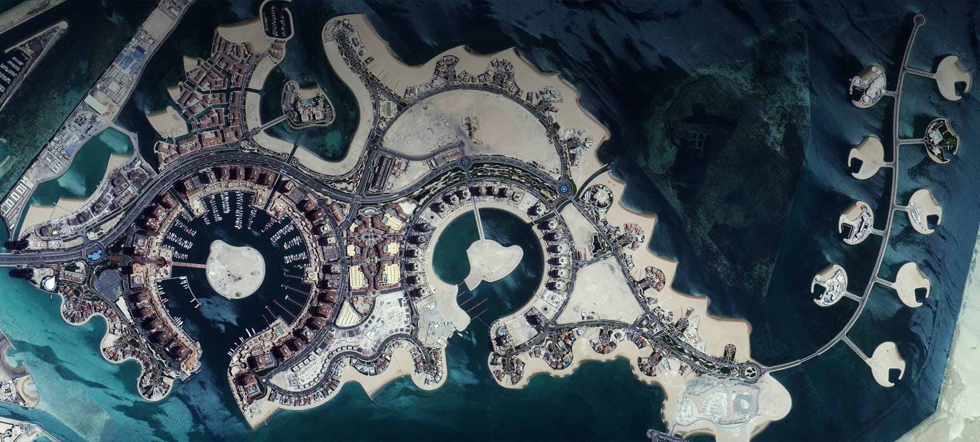
Optical · Sub-metre · Doha, Qatar
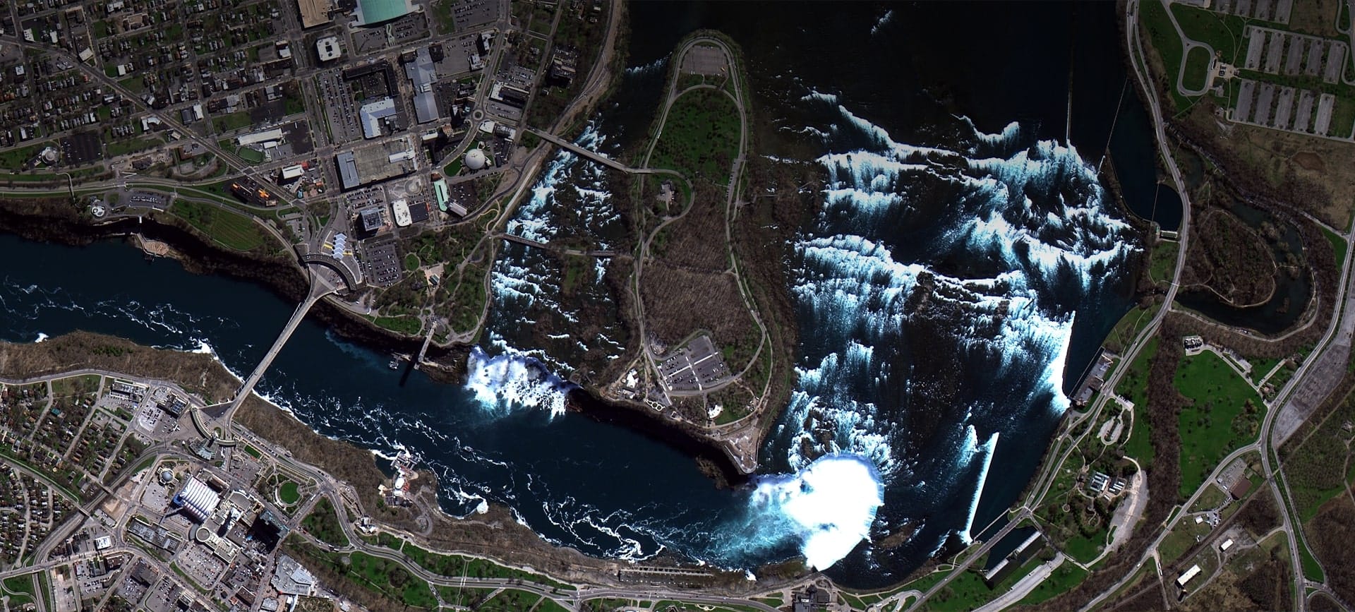
Optical · Sub-metre · Niagara Falls, USA/Canada
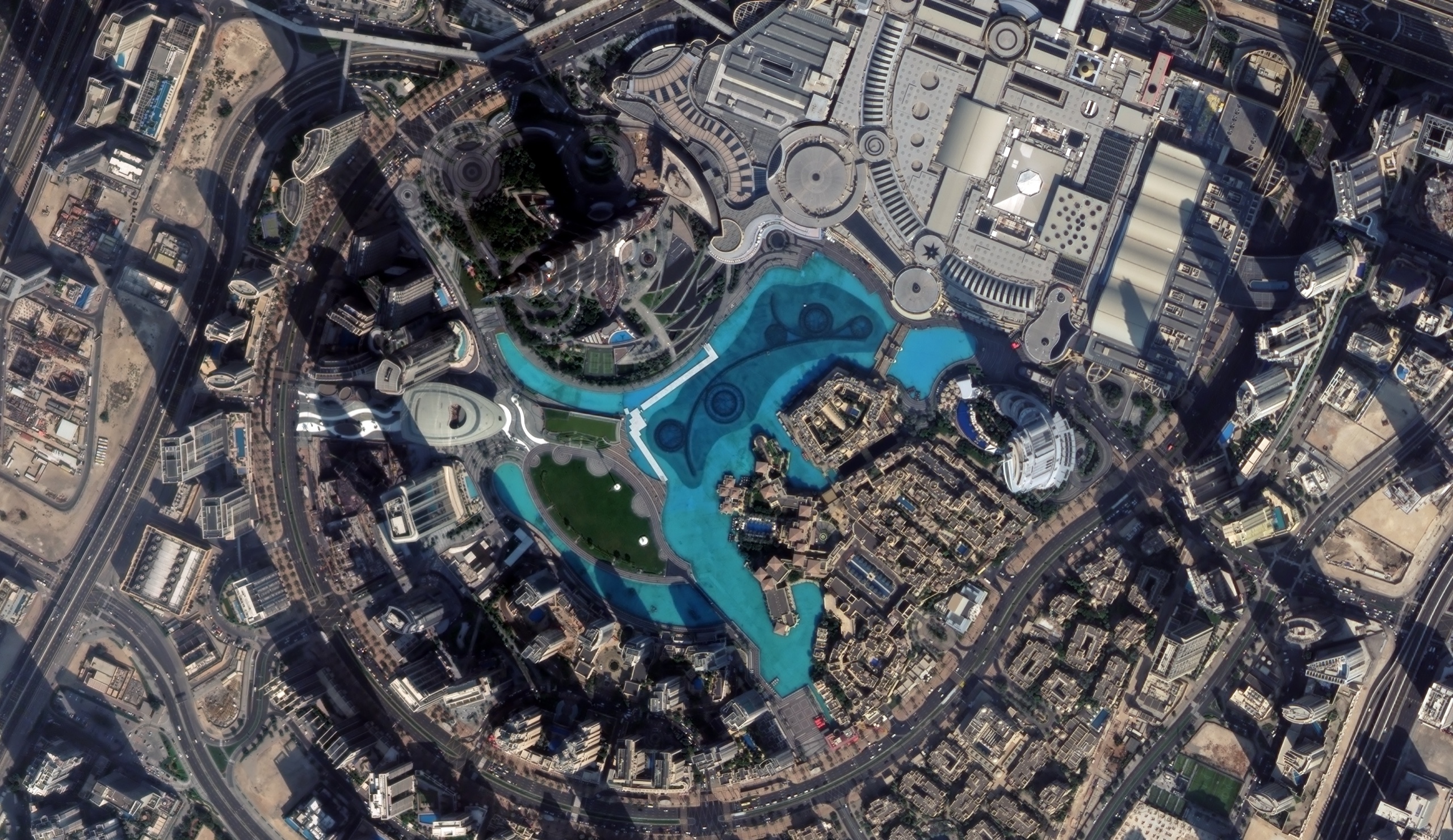
Optical · Sub-metre · Dubai, UAE
Back to the satellite image gallery