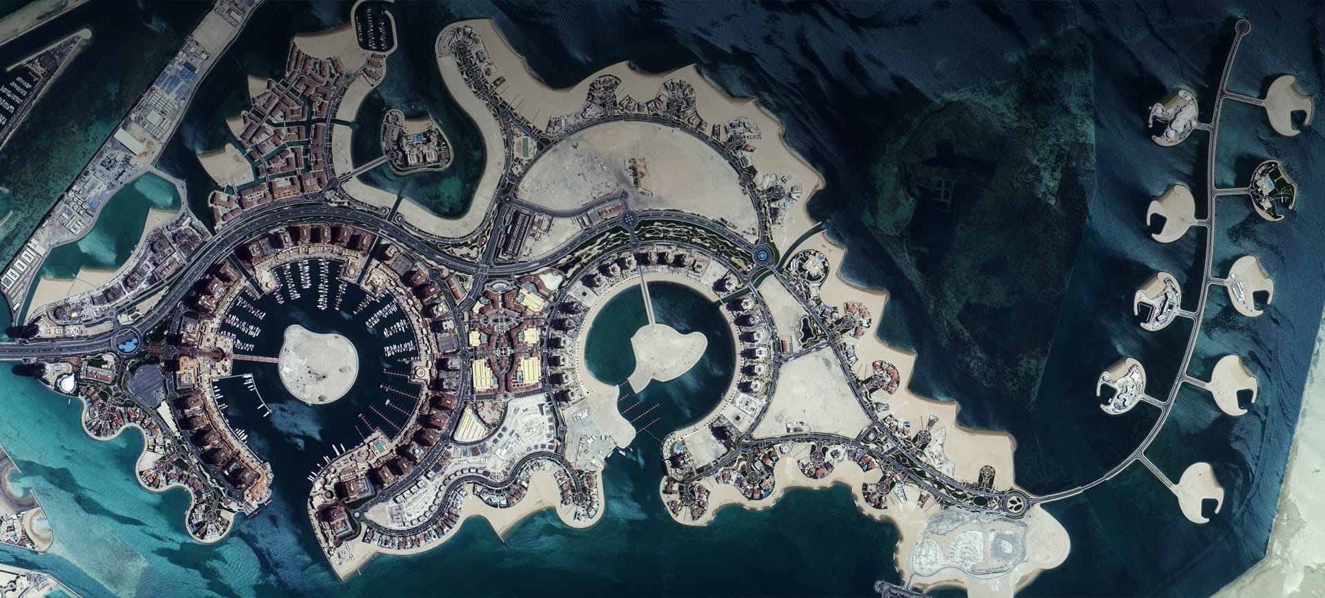
Satellite imagery of The Pearl-Qatar in Doha, an artificial island with marinas, curved coastlines and residential districts.
This satellite view of The Pearl, Doha was captured from orbit, not by plane or drone. Click the aerial view to open it full size.
Aerial view of The Pearl, Doha from space
The island is shaped like a string of pearls, with round marinas, curved beaches and small island villas in turquoise water. Residential towers and roads fill the main island.
Artificial islands are monitored from space to track coastline change, construction and water quality.
What you can see in this aerial view
Round marinas and curved coastlines
Small villa islands
Residential towers and roads
Shallow turquoise water
Who uses satellite imagery of places like this
Coastal engineers and developers use satellite imagery for shoreline monitoring and real estate work.
Order archive images or new tasking, from 15cm HD and 30cm optical to all-weather SAR, delivered worldwide as GeoTIFF. Tell us your area and we send available images and a price, usually within 24 hours.