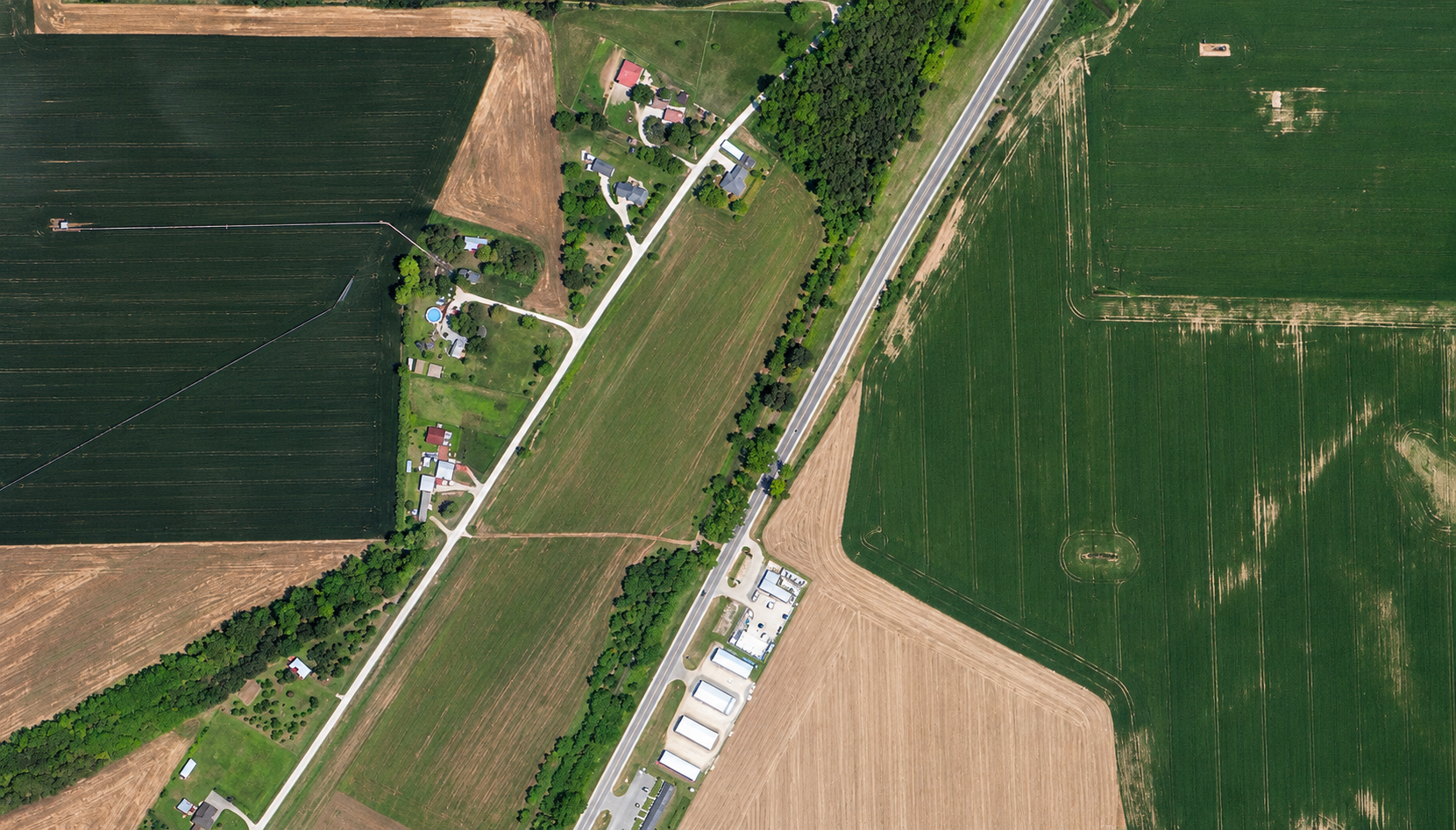
An 80cm optical satellite image of farmland in the United States, with crop fields, a rail line, farm buildings and tree lines.
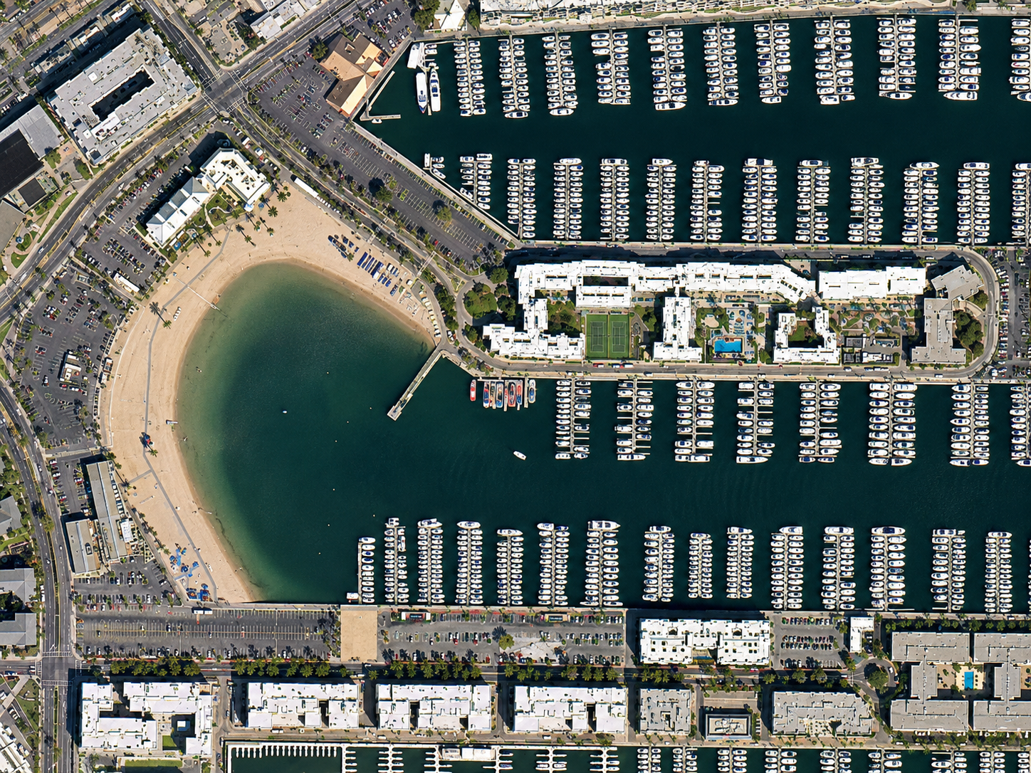
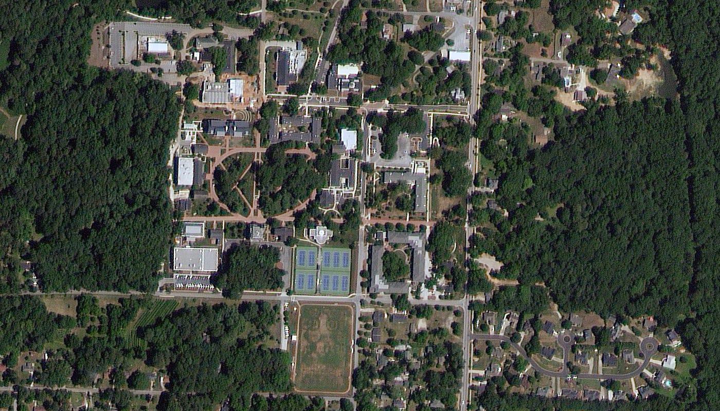
This satellite view of Farmland, USA was captured from orbit, not by plane or drone. Click the aerial view to open it full size.
Aerial view of Farmland, USA from space
Large fields show different stages of growth and soil colour, a straight rail line cuts across the scene and farm buildings sit among trees along the field edges.
Imagery at this resolution is used to map field boundaries, check crop condition across many farms and support insurance and land valuation work.
Order archive images or new tasking, from 15cm HD and 30cm optical to all-weather SAR, delivered worldwide as GeoTIFF. Tell us your area and we send available images and a price, usually within 24 hours.