Quick Answer
- Aerial imagery is captured from aircraft, drones, or balloons at low altitude, typically 500 to 30,000 feet. Resolution can reach 2 to 7 cm per pixel.
- Satellite imagery is captured from orbit, 160 to 800 km above Earth. Commercial resolution ranges from 25 cm (high-end tasking) to 30 m (public missions like Sentinel-2).
- For detail at parcel or building level, aerial imagery wins. For large-area monitoring, time-series, or multi-spectral analysis, satellite imagery is the practical choice.
- Both have legitimate, non-overlapping uses. Picking the wrong one wastes money.
What Is Aerial Imagery?
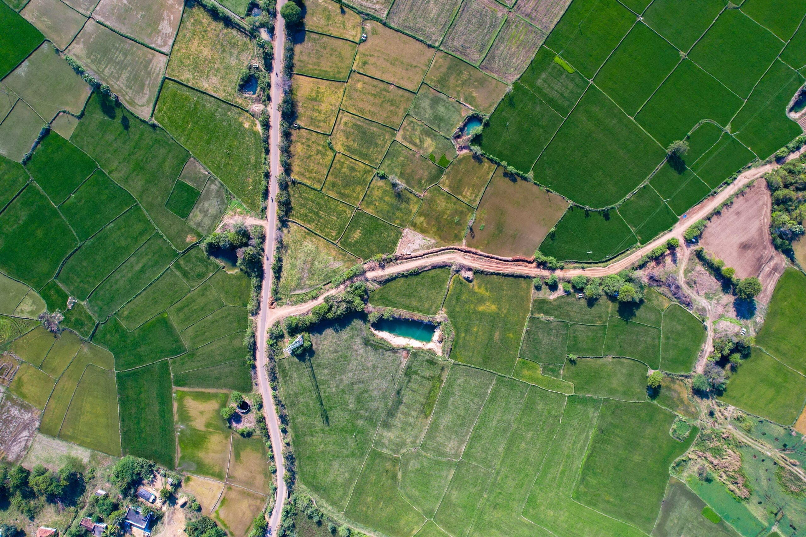
Aerial imagery is any photograph or digital image captured from an airborne platform. That includes fixed-wing aircraft, helicopters, drones, and historically, balloons and kites. The first aerial photograph was taken in 1858 from a balloon over Paris. Modern aerial programs use calibrated multi-camera systems and fly at controlled altitudes to produce consistent, orthorectified outputs.
Orthorectification matters here. It means the image is corrected for terrain displacement and camera tilt so that every pixel maps to a real-world coordinate. You can measure distances, areas, and offsets directly in CAD or GIS software without applying additional corrections.
What is an aerial map?
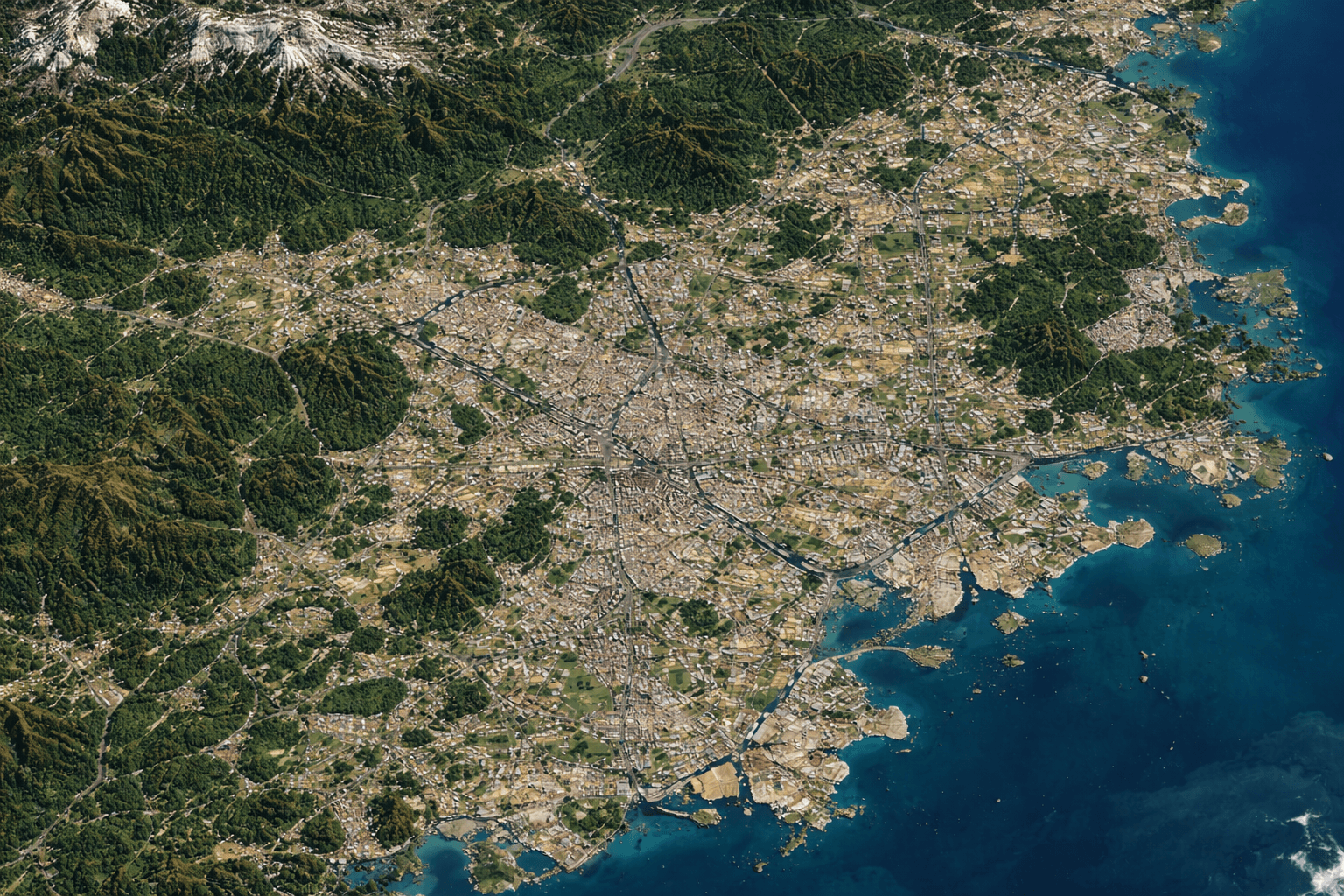
An aerial map is an orthorectified aerial image or mosaic registered to geographic coordinates. Unlike a raw aerial photo taken at an angle, an aerial map is geometrically accurate. Building footprints, property lines, road widths, and setbacks can all be measured directly from it.
Types of aerial photography
Three acquisition angles are standard:
| Type | Camera Angle | Primary Use |
|---|---|---|
| Vertical | Nadir (straight down) | Mapping, GIS, ortho production |
| Low oblique | 3 to 45 degrees | Facade detail, urban streetscape |
| High oblique | 45 to 70 degrees | Landmark visualization, situational awareness |
Vertical photography produces orthophotos used in planning and analysis. Oblique imagery shows building facades and is widely used in insurance and emergency response.
What Is Satellite Imagery?
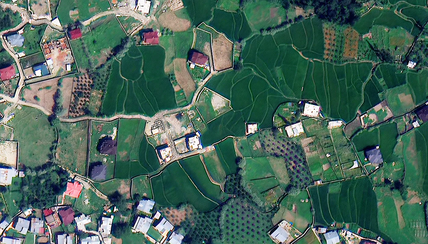
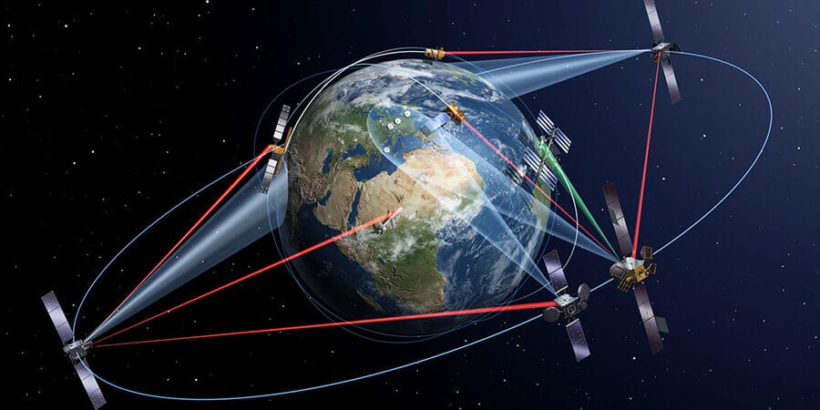
Satellite imagery is captured by sensors onboard satellites orbiting Earth. Depending on the orbital altitude and sensor design, resolution and coverage vary widely.
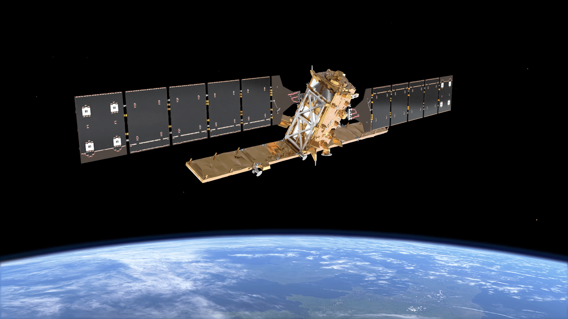
Commercial very-high-resolution (VHR) satellites like Superview Neo-1 capture 25 to 30 cm panchromatic imagery from low-Earth orbit (~600 km). Public missions like Sentinel-2 capture 10 m multispectral imagery with a 5-day revisit. Landsat 8 and 9 capture 15 to 30 m data. Each has different applications.
Satellites do not use cameras the way aircraft do. Most Earth observation satellites use pushbroom line scanners that build an image line by line as the satellite moves along its orbit. Multi-spectral sensors capture separate bands (red, green, blue, near-infrared, shortwave infrared, thermal) that can be combined to derive indices like NDVI, EVI, or NDWI.
Satellite Imagery vs Aerial Photo: The Core Differences
This is where most guides get vague. Here are the concrete differences by attribute.
| Attribute | Aerial Imagery | Satellite Imagery |
|---|---|---|
| Altitude | 500 to 30,000 ft | 160 to 800 km |
| Best commercial resolution | 2 to 7 cm GSD | 25 to 30 cm GSD (VHR tasking) |
| Public-domain resolution | Not typically public | 10 m (Sentinel-2), 15 m (Landsat) |
| Cloud sensitivity | High (flight windows planned around weather) | High (cloud masks needed; SAR bypasses this) |
| Area per capture | Metro to regional | Regional to global |
| Spectral options | RGB, some near-IR | RGB, multispectral, hyperspectral, SAR, thermal |
| Revisit frequency | Scheduled missions, 1 to 6x per year typical | Daily to 26-day depending on satellite |
| Geometric accuracy | Sub-foot horizontal (orthorectified) | Variable; off-nadir captures require correction |
| Emergency tasking | Possible with dedicated aircraft | Available from VHR commercial constellations |
| Cost structure | Per-capture or subscription by coverage area | Per km² for archive or new tasking |
The resolution gap matters more than people realize. A 25 cm satellite pixel covers a 25 cm x 25 cm area on the ground. A 5 cm aerial pixel covers 5 cm x 5 cm. At the aerial resolution, you can see individual roof tiles, read license plates in some cases, and count solar panels on a rooftop. At the satellite resolution, you can identify a car but not its make.
Cost Comparison: Aerial Imagery vs Satellite Imagery
Cost is one of the biggest practical differences between the two, and it is not as simple as one being cheaper than the other. It depends entirely on area, resolution, and frequency.
| Cost Factor | Aerial Imagery | Satellite Imagery |
|---|---|---|
| Small area (under 5 km²) | $500 to $5,000 per flight (mobilization + capture) | $100 to $500 archive; $150 to $900 new tasking |
| Medium area (25 to 100 km²) | $2,000 to $15,000 depending on resolution and aircraft | $325 to $2,000 archive; $750 to $4,500 new tasking |
| Large area (500+ km²) | $20,000 to $100,000+ for dedicated aerial campaign | $500 to $10,000 archive; $4,000 to $45,000 new tasking |
| Public/free options | Rarely available; some government orthophoto programs | Sentinel-2 (10 m), Landsat (15 to 30 m) free via ESA/USGS |
| Subscription model | Available from some providers for metro coverage | Archive access subscriptions available from some vendors |
| Emergency/rush premium | 2x to 4x standard rate depending on mobilization | Priority tasking adds 40 to 100% to base rate |
| Processing (ortho, mosaic) | Included or $200 to $2,000 depending on area | Value added products priced separately per km² |
For small, high-detail jobs like a single construction site or insurance claim, aerial imagery can be cost-competitive. For anything covering hundreds of square kilometres, satellite imagery is significantly cheaper per km². The crossover point for most projects sits somewhere between 50 and 150 km² depending on required resolution.
Satellite archive imagery is the cheapest source of overhead data in existence. At $1 to $5/km² for moderate resolution archive, there is no aerial equivalent. New tasking at VHR adds cost but is still cheaper than a dedicated aerial mission for areas above 100 km².
Turnaround Time: How Long Does Each Imagery Method Take?
Speed matters in emergency response, construction monitoring, and time-sensitive procurement. The two technologies behave very differently here.
| Scenario | Aerial Imagery | Satellite Imagery |
|---|---|---|
| Archive order (existing data) | 1 to 5 business days (data prep and delivery) | Same day to 48 hours |
| New capture in clear weather | 3 to 14 days (flight scheduling, crew, aircraft) | 1 to 14 days depending on orbit and priority |
| Emergency/priority capture | 24 to 72 hours with dedicated aircraft on standby | 24 to 48 hours (emergency tasking tier) |
| Post-processing (ortho, mosaic) | 1 to 5 days added for large areas | 1 to 3 days for standard products |
| Delivery after cloud delay | Rescheduled flight; days to weeks | SAR bypasses clouds entirely; optical waits for clear window |
| Historical archive availability | Limited; some programs hold 1 to 3 years of data | Decades of archive (Landsat from 1972, Sentinel from 2014) |
The main time risk with aerial is mobilization. Getting an aircraft, crew, and flight approval over a specific area takes time, especially in controlled airspace. In contrast, satellite tasking for a new capture is just a scheduling request. If the satellite passes your area in the next 24 hours at the right angle, you get the image.
For archive data, satellite wins on speed almost every time. Pre-processed archive imagery from commercial VHR constellations is often available for download within hours of payment.
Accuracy Comparison: Aerial vs Satellite Imagery
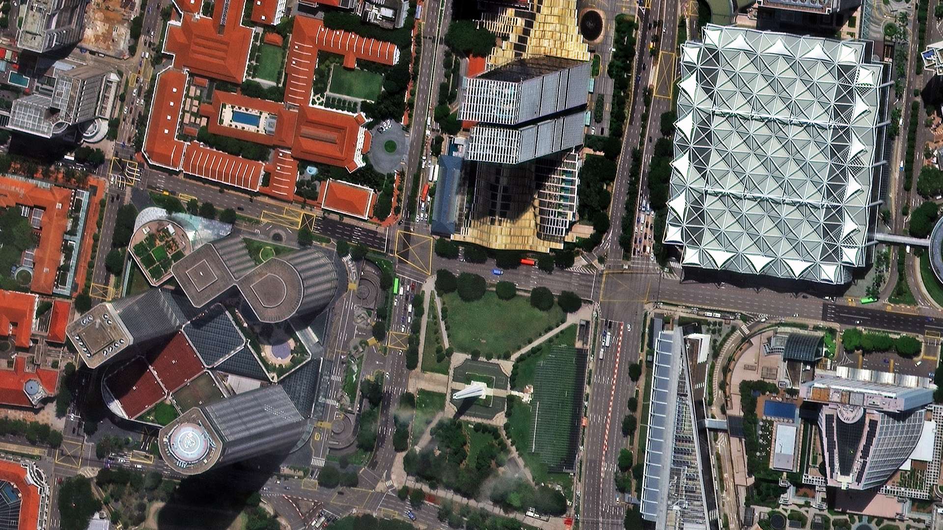
Accuracy covers two things: spatial resolution (how much detail per pixel) and geometric accuracy (how precisely each pixel maps to a real-world coordinate).
| Accuracy Factor | Aerial Imagery | Satellite Imagery |
|---|---|---|
| Best spatial resolution (GSD) | 2 to 7 cm | 25 to 30 cm (VHR commercial) |
| Typical operational resolution | 5 to 15 cm | 50 cm to 2 m (standard commercial) |
| Horizontal positional accuracy | 5 to 30 cm (orthorectified with GCPs) | 1 to 10 m (VHR with RPC correction) |
| Elevation/vertical accuracy (DSM) | 5 to 20 cm (photogrammetric from stereo or LiDAR) | 0.5 to 5 m (stereo satellite DEM) |
| Off-nadir distortion | Minimal (vertical flights) | Present; increases with tasking angle |
| Radiometric consistency | High (controlled lighting, calibrated sensors) | Variable (atmospheric effects, sun angle, BRDF) |
| Suitable for legal/boundary work | Yes, with certified survey-grade processing | Generally no at standard tasking; sub-30 cm with GCPs possible |
| Measurement precision in GIS | Sub-foot (30 cm) in standard ortho programs | 1 to 3 m without ground control; better with GCPs |
For work that requires measurements to hold up in legal, insurance, or engineering contexts, aerial imagery processed with ground control points (GCPs) is the standard. Satellite imagery at 25 to 50 cm can support many planning and monitoring tasks but typically does not meet the positional accuracy thresholds required for boundary surveys or construction payment certifications.
The one area where satellite closes the gap is SAR-based deformation monitoring. InSAR and DInSAR techniques using SAR satellites can detect ground movement at millimetre precision over large areas, which aerial imagery cannot match.
Aerial Photography vs Satellite Imagery: Which One to Use?
The right choice depends on what you need to measure, how often, and over how large an area.
Use aerial imagery when:
- You need sub-10 cm resolution for precise measurements (roof takeoffs, property boundary work, asset inventories)
- You are inspecting individual structures or small sites
- You need frequent refreshes in a defined metro area
- Your workflow requires orthorectified imagery with sub-foot positional accuracy
- You cannot afford cloud-affected captures
Use satellite imagery when:
- You need to cover hundreds or thousands of square kilometres in a single order
- You need multi-spectral analysis (vegetation indices, mineral mapping, thermal anomalies)
- Your project is in a remote or inaccessible area where aircraft operations are impractical
- You need time-series data going back months or years using archive imagery
- SAR data is required for all-weather or night imaging
Where they genuinely overlap:
Change detection over medium-size areas (10 to 500 km²) can work with either. At 25 to 30 cm satellite resolution, you can detect construction progress, vegetation loss, and surface changes. At aerial resolution, you get more detail but at higher cost and lower frequency. Projects with a budget often start with satellite for area-wide screening and commission aerial captures for specific sites that need closer review.
Aerial Photography vs Satellite Images: The Google Maps Question
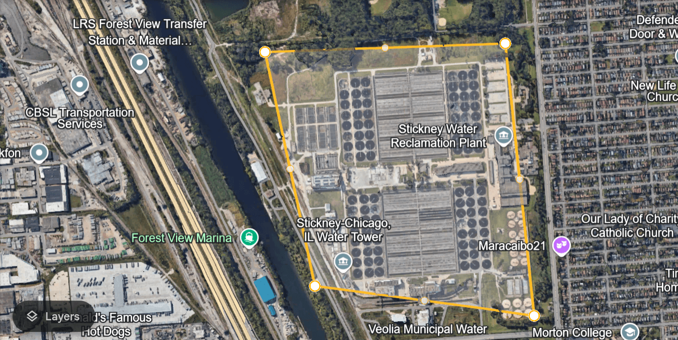
A common point of confusion. When you zoom into Google Maps, the imagery changes source as you zoom. Wide continental views use government satellite data (Landsat, Copernicus). As you zoom in past roughly a 40-mile view, Landsat disappears from the attribution. At city and parcel level, the imagery is typically aerial photography stitched and orthorectified into a seamless mosaic.
The very high-resolution imagery you can see when zoomed to street level on Google Maps is almost never from a satellite. It is from aircraft or drones. The detail needed to count individual trees or read a building number simply exceeds what any commercial satellite provides at normal tasking rates.
This is not a flaw in satellite technology. Satellites trade resolution for coverage. An aircraft flying at 5,000 feet over a suburb can cover a 20 km x 20 km area in a single flight and produce 5 cm imagery across all of it. A satellite covers continents. Different tools.
Applications by Industry
Construction and infrastructure
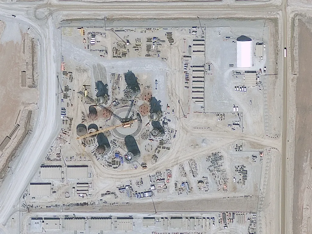
Aerial imagery is preferred for construction at individual site level. Sub-10 cm resolution tracks earthwork volumes, structural progress, and site safety conditions accurately enough to support payments and disputes. Satellite imagery at 25 to 50 cm is suitable for portfolio-level monitoring across multiple sites.
Agriculture and vegetation
Satellite imagery dominates agriculture sector. Multi-spectral and hyperspectral sensors produce NDVI, EVI, LAI, and chlorophyll indices across entire fields and regions in a single pass. Aerial multispectral exists but is expensive to deploy at scale. For a farmer managing 200 hectares, satellite NDVI on a 5-day revisit is both cheaper and more informative than monthly aerial campaigns.
Insurance and property assessment
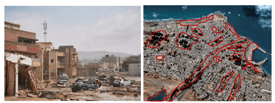
Aerial imagery at nadir and oblique angles is the standard for roof inspection, damage assessment, and property underwriting. Sub-foot accuracy and high resolution support reliable measurements. Post-disaster, emergency aerial deployments provide fresh captures within days for claims triage.
Environmental monitoring
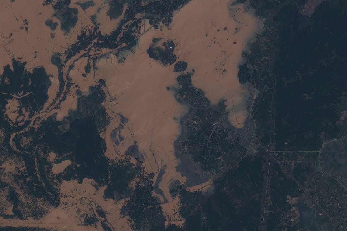
Satellite time-series is the main tool for tracking deforestation, coastline change, ice extent, flood progression, and land cover transitions over years or decades. Landsat archives go back to 1972. Sentinel-2 provides free 10 m multispectral data every 5 days. No aerial program provides this kind of temporal depth or spectral breadth at this cost.
Urban planning
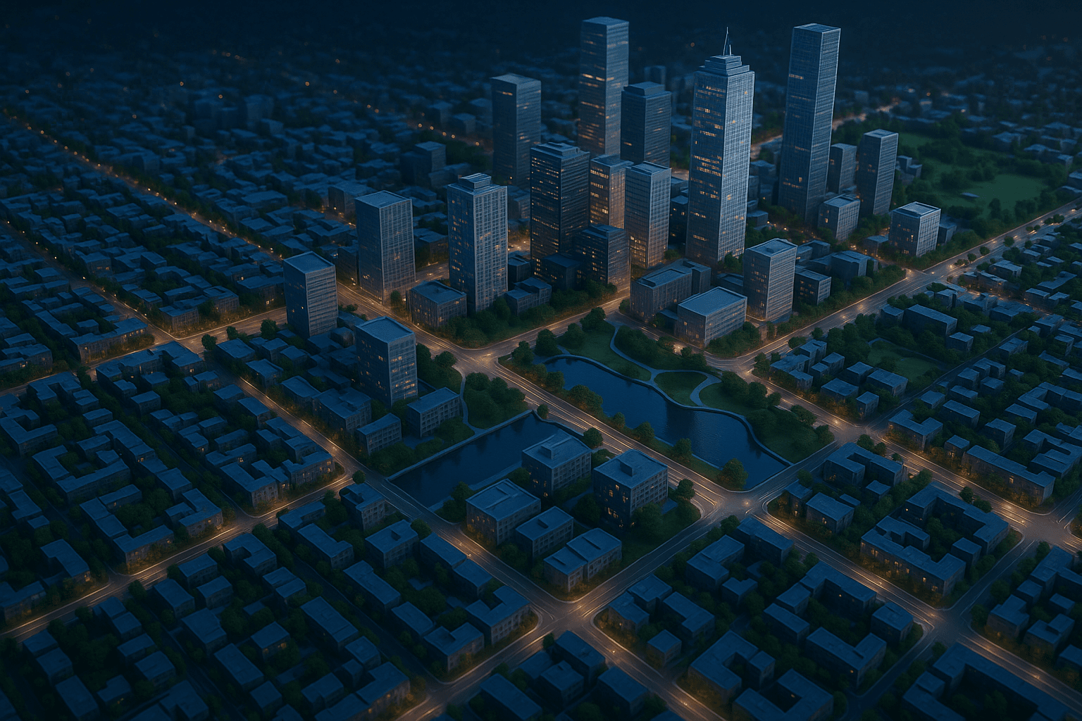
Both are used. Aerial orthophotos at 5 to 10 cm support parcel-level planning, building footprint extraction, and GIS base maps. Satellite imagery supports regional growth analysis, heat island mapping (thermal bands), and infrastructure gap assessments across metropolitan areas.
Aerial Imagery Sources
Aerial imagery comes from four main platform types, each with different cost, coverage, and resolution trade-offs.
- Fixed-wing aircraft are the standard for large commercial aerial programs. They fly at 5,000 to 30,000 feet, cover wide areas efficiently, and carry calibrated multi-camera systems that produce consistent, orthorectified outputs. Most national mapping programs and metro-scale orthophoto datasets come from fixed-wing missions.
- Helicopters fly slower and lower, typically 500 to 3,000 feet. They are better suited for corridor mapping (power lines, pipelines, roads) and confined areas where fixed-wing aircraft cannot maneuver easily. Higher cost per km² than fixed-wing.
- Drones (UAVs) operate below 400 feet in most jurisdictions and produce the sharpest aerial imagery available, often 1 to 3 cm GSD. They are cost-effective for small sites (under 5 km²) but impractical for large-area coverage due to flight time, battery limits, and regulatory restrictions. Not usable in controlled airspace without special permits.
- Satellites operating at very high resolution are sometimes grouped under aerial imagery sources in commercial contexts, particularly when providers bundle 25 to 50 cm satellite data alongside aircraft-captured orthophotos. Technically they are a separate category, but the line blurs in multi-source datasets.
Key Takeaways
- Aerial imagery resolution (2 to 7 cm) is 4 to 15 times sharper than the best commercial satellite imagery (25 to 30 cm).
- Satellite imagery covers vastly larger areas per acquisition, making it practical for regional to national-scale monitoring.
- Most of the detailed imagery on Google Maps at street and parcel level is aerial, not satellite.
- Multi-spectral and SAR sensors are primarily satellite-based, making satellite imagery essential for vegetation analysis, mineral mapping, and all-weather monitoring.
- VHR satellite tasking (25 to 50 cm) now overlaps with some aerial use cases, especially for remote or access-restricted areas.
- Archive satellite imagery can go back to the 1970s (Landsat), which no aerial program can match for historical analysis.
FAQs
What is the difference between aerial and satellite imagery in simple terms?
Aerial imagery is taken from aircraft close to the ground, producing sharper, more detailed images of small areas. Satellite imagery is taken from orbit and covers far larger areas but with less detail per pixel at standard tasking rates.
Which has better resolution, aerial or satellite?
Aerial imagery. The best commercial aerial programs produce 2 to 7 cm resolution. The best commercial satellites produce 25 to 30 cm resolution under ideal conditions. For measuring individual objects or structures, aerial imagery is clearer.
Can satellite imagery replace aerial photography?
For most parcel-level and building-level work, no. Resolution and geometric accuracy requirements in construction, insurance, and property measurement still favor aerial imagery. For large-area monitoring, multi-spectral analysis, and historical time-series, satellite imagery has no aerial equivalent.
What is aerial satellite imagery?
The phrase is sometimes used loosely to mean any overhead imagery. Technically, aerial and satellite are two distinct acquisition methods. When someone says aerial satellite imagery they usually mean very high-resolution satellite imagery that approaches aerial quality, or a dataset that combines both sources.
Is Google Maps satellite or aerial imagery?
Both, depending on zoom level. Wide-area views use satellite data (Landsat, Copernicus). City and parcel-level views use aerial photography from aircraft. The attribution at the bottom of Google Maps changes to reflect the source as you zoom.
What is a good use case for satellite imagery that aerial cannot match?
Monitoring a 500 km x 500 km region for vegetation stress over a 10-year period using NDVI time-series. The coverage, temporal depth, and spectral options are simply not achievable with aerial programs at any reasonable cost.
How fresh is commercial satellite archive imagery?
For active VHR constellations like Superview Neo-1, popular areas are captured daily or near-daily. Archive images from the past 30 to 90 days are typically available for most locations. Older archive imagery exists but cloud cover and sensor limitations vary by date.
What does GSD mean?
Ground Sample Distance. It is the distance on the ground represented by one pixel in an image. A 5 cm GSD means each pixel covers a 5 cm x 5 cm area. Lower GSD = sharper image with more detail per pixel.