
Our Satellite Imagery Constellation
XRTech Group provides access to a powerful and diverse satellite network of over 130 satellites, spanning optical, Synthetic Aperture Radar (SAR), and hyperspectral sensors. Explore satellite imagery resolution from 25cm up to global open-access archives, supporting applications across agriculture, infrastructure, environment, and mapping worldwide.
No satellites match the selected filters. Try clearing one or more filters.
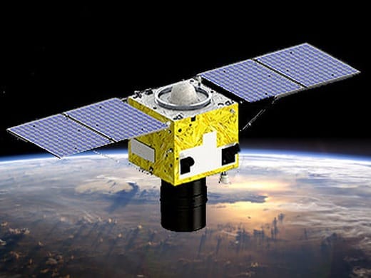 0.25m
0.25m
Superview Neo-1 (03/04)
The upgraded Superview Neo-1 satellites deliver an industry-first 25cm panchromatic resolution with 1m multispectral bands, ideal for precision mapping, urban monitoring, and fine-detail infrastructure analysis.
More Details 0.3m
0.3m
Superview Neo-1
Offers exceptional detail with 0.3m panchromatic resolution satellite imagery. Ideal for high-precision mapping and detailed infrastructure monitoring.
More Details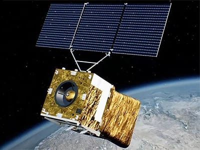 0.5m
0.5m
Superview Neo-3
Delivers 50cm panchromatic and 2m 8-band multispectral imagery with an industry-leading 130km swath, ideal for covering large areas without sacrificing detail.
More Details 0.5m
0.5m
Superview-1
A versatile satellite providing 0.5m panchromatic and 2m multispectral imagery. Features advanced agility and supports stereo acquisition to provide elevation models for end-users.
More Details 0.42m
0.42m
Superview-2 (GFDM)
Features a very high satellite imagery resolution of 0.42m panchromatic and expanded spectral bands for advanced agricultural analysis.
More Details 0.65m
0.65m
GF-7
China's first sub-meter high-resolution stereo mapping satellite at ≤0.65m resolution, equipped with a dual-linear CCD camera and a laser altimeter to improve elevation accuracy for 1:10,000 scale mapping.
More Details 0.8m
0.8m
GF-2
Provides 0.8m panchromatic and 3.24m multispectral data, a powerful source of satellite imagery for land surveys.
More Details 2m
2m
GF-6
Features wide-swath capabilities with a satellite imagery resolution of 2m panchromatic for large-area monitoring.
More Details 2m
2m
GF-1 / B / C / D
A foundational satellite series offering a combination of 2m panchromatic and 8m/16m multispectral data for broad-scale observation.
More Details 2.1m
2.1m
ZY-3 (01, 02, 03)
A civilian stereomapping constellation with three high-resolution panchromatic cameras at 2.1m nadir resolution, with a primary mission of creating 1:50,000 DEM databases.
More Details 50m
50m
GF-4
A geostationary satellite providing 50m VNIR resolution for continuous observation and rapid response to dynamic events.
More Details 1m
1m
GF-3 SAR
A C-band SAR satellite with 1m resolution in Spotlight mode, providing stable, high-resolution data suitable for disaster assessment and topographical analysis.
More Details 3m
3m
LT-1 (A and B)
The world's first L-band SAR constellation dedicated to surface deformation interferometry at 3m resolution, used to obtain global 1:50,000 DEMs even in cloudy or rainy areas.
More Details 30m
30m
GF-5 / GF-5B
Advanced satellite imagery with hyperspectral imagers at 30m resolution for detailed environmental and mineral analysis.
More Details 2.5m
2.5m
ZY-1 02D
Features both 30m hyperspectral and 2.5m panchromatic cameras, offering a unique combination of spectral and spatial detail.
More Details 2–60m
2–60m
CBERS-04 / 04A
A joint program providing multispectral satellite imagery with resolutions from 2m to 60m for land and resource surveys.
More Details 5m
5m
HJ-1A / 1B / 1C
A satellite constellation for disaster monitoring, featuring optical, infrared, and 5m SAR sensors for comprehensive coverage.
More Details 2.36m
2.36m
ZY-1 02C
Equipped with a high-resolution camera providing sharp 2.36m panchromatic imagery for detailed land resource management.
More Details 2.5m
2.5m
SJ-9A / B
Technology demonstration satellites featuring a 2.5m optical camera (SJ-9A) and a long-wave infrared sensor (SJ-9B).
More Details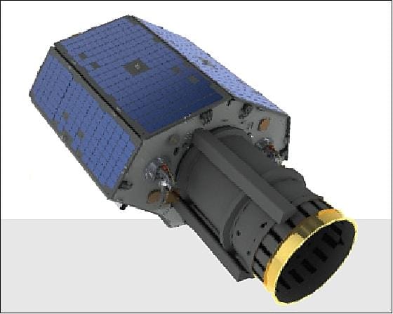 0.8m
0.8m
TripleSat Constellation
A three-satellite constellation delivering 0.8m panchromatic and 3.2m multispectral imagery with near-daily revisit, backed by a large archive dating back to 2016.
More Details 4m
4m
Beijing-1
A long-serving 4m resolution optical satellite with an extensive historical archive, well suited to regional monitoring and change detection over time.
More Details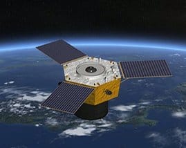 0.5m
0.5m
Beijing-3A
Delivers 0.5m panchromatic and 2m multispectral imagery with a 23.5km swath, supporting mono, stereo, and tri-stereo acquisition for accurate 3D mapping.
More Details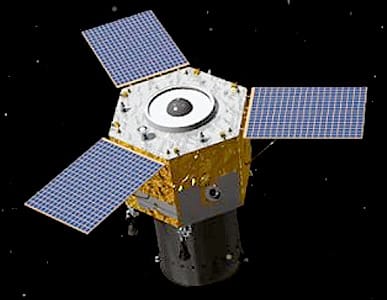 0.3m
0.3m
BJ3N (Beijing-3B)
Reaches 0.3m panchromatic resolution with 4-band (RGBN) multispectral imagery. The first AI-operated satellite in the fleet, using onboard AI for stability and in-orbit analytical processing.
More Details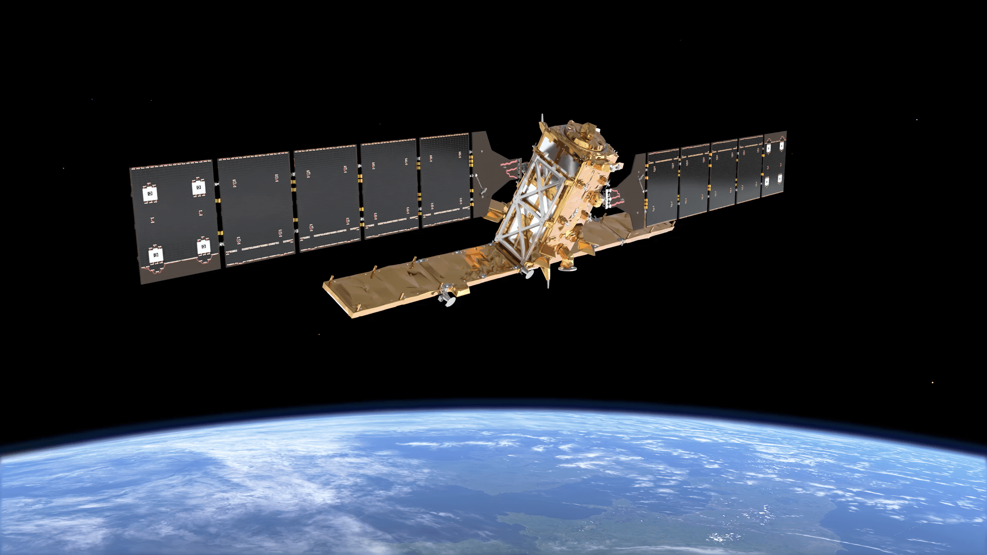 5–20m
5–20m
Sentinel-1
A Copernicus programme C-band SAR mission offering 5–20m resolution depending on acquisition mode, providing reliable all-weather, day-and-night coverage for large-scale monitoring.
More Details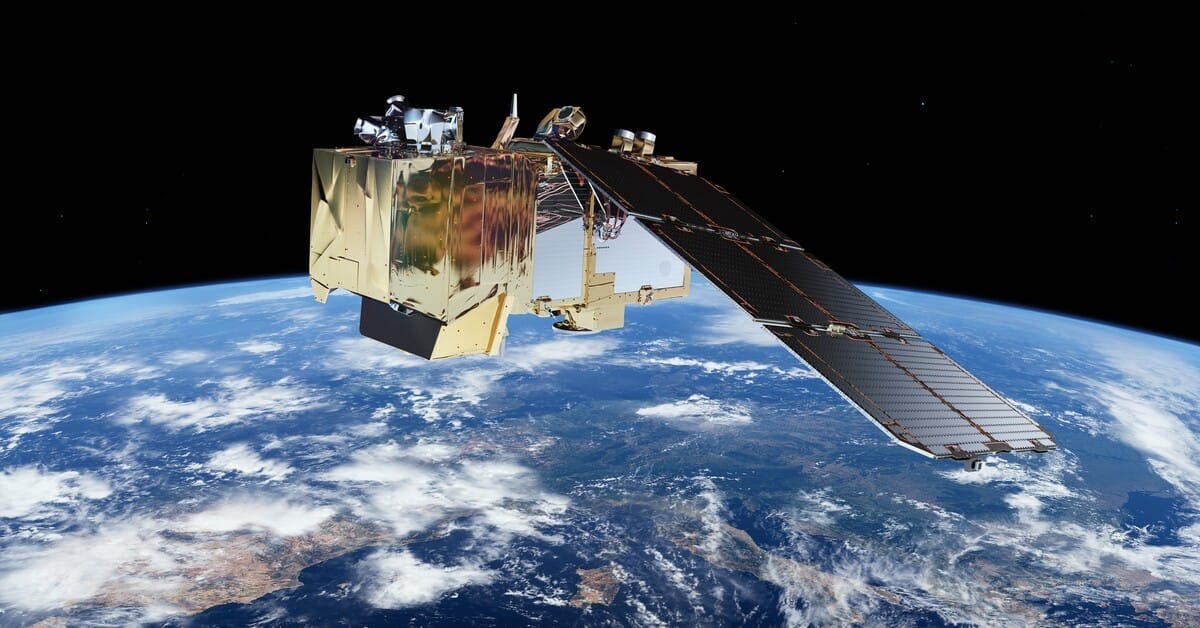 10m
10m
Sentinel-2
A Copernicus programme optical mission delivering 10m multispectral imagery across 13 spectral bands, widely used for vegetation, land cover, and environmental monitoring.
More Details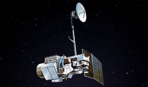 30m
30m
Landsat 4
Launched in 1982 carrying the Thematic Mapper (TM) sensor at 30m resolution, part of the deep historical Landsat archive used for long-term change analysis.
More Details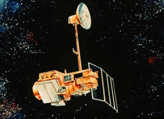 30m
30m
Landsat 5
Launched in 1984, Landsat 5 operated for nearly three decades at 30m resolution, one of the longest-serving Earth observation satellites on record.
More Details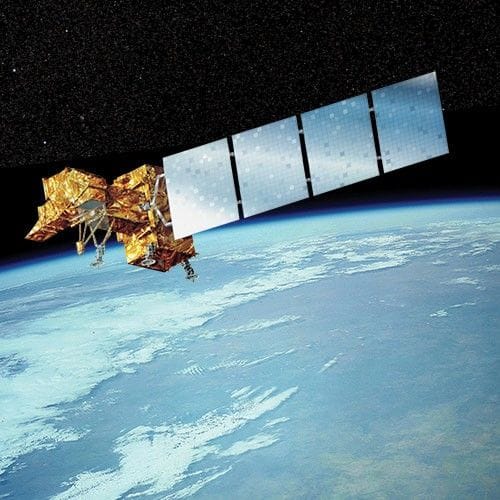 15–30m
Landsat 7
Launched in 1999 with the ETM+ sensor, providing 30m multispectral and 15m panchromatic imagery, extending the continuous Landsat record into the 2000s.
More Details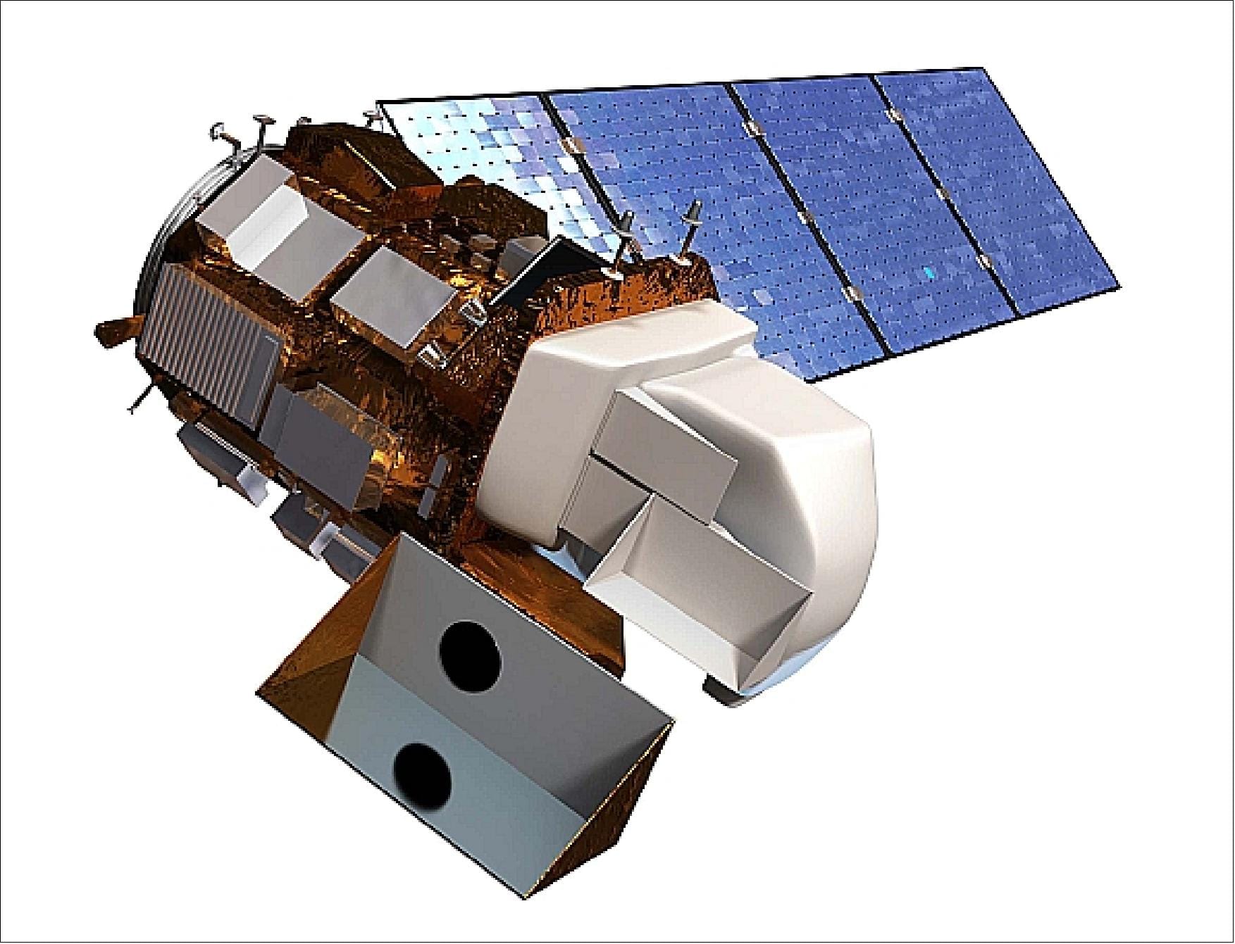 15–30m
Landsat 8
Launched in 2013 carrying OLI and TIRS sensors, delivering 30m multispectral, 15m panchromatic, and 100m thermal imagery for ongoing environmental monitoring.
More Details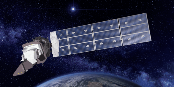 15–30m
Landsat 9
Launched in 2021 with upgraded OLI-2 and TIRS-2 sensors, continuing the program at 30m multispectral and 15m panchromatic resolution with improved radiometric precision.
More Details