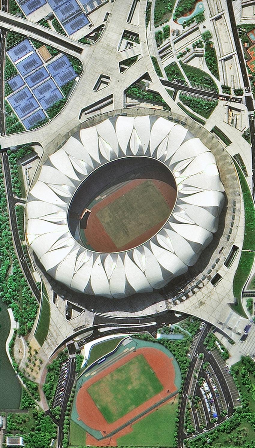
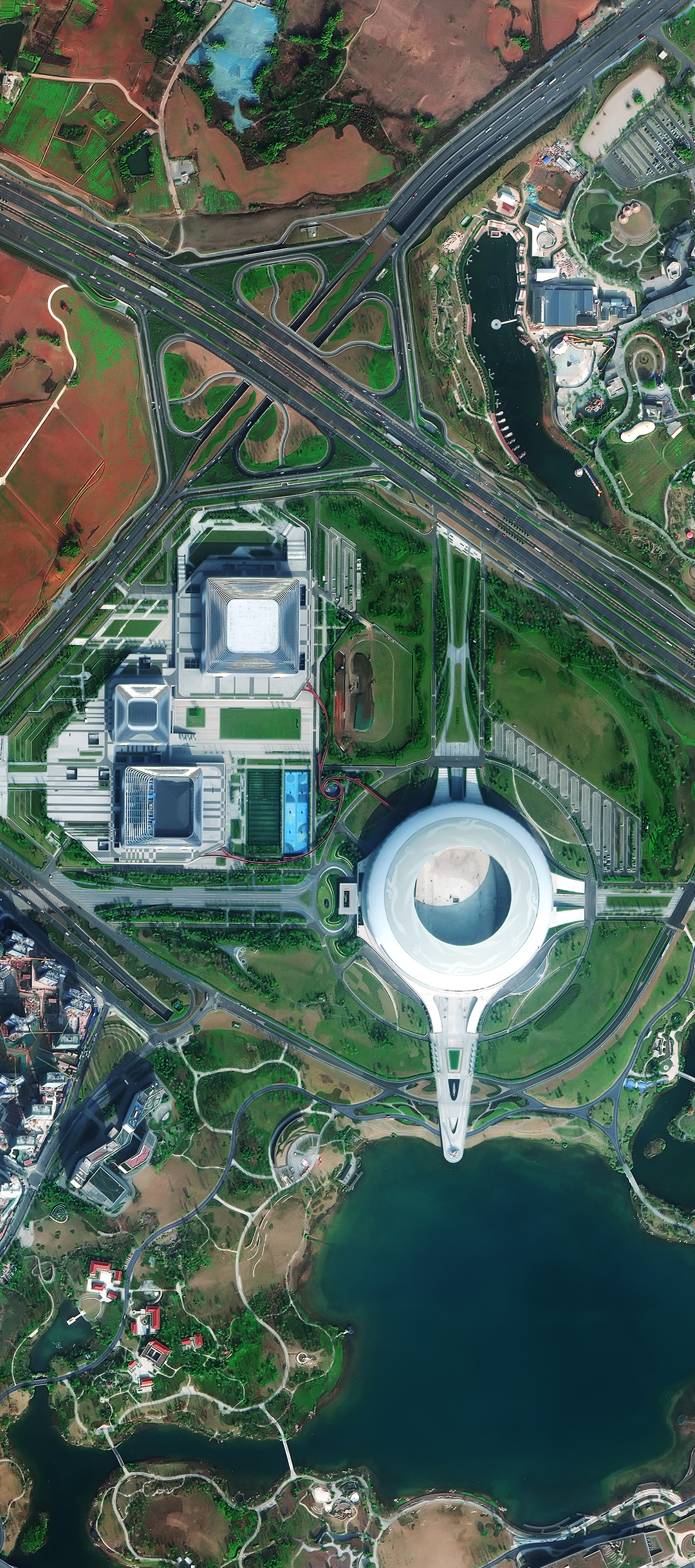
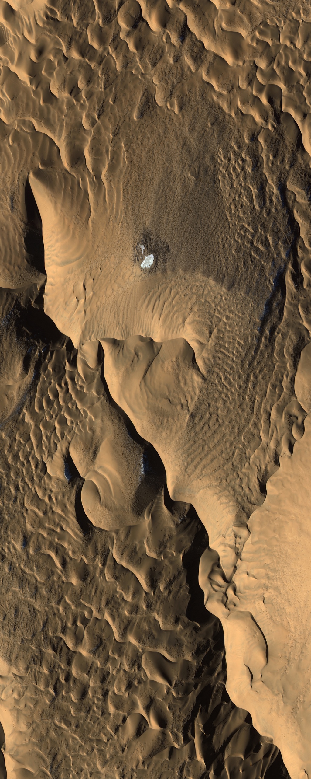
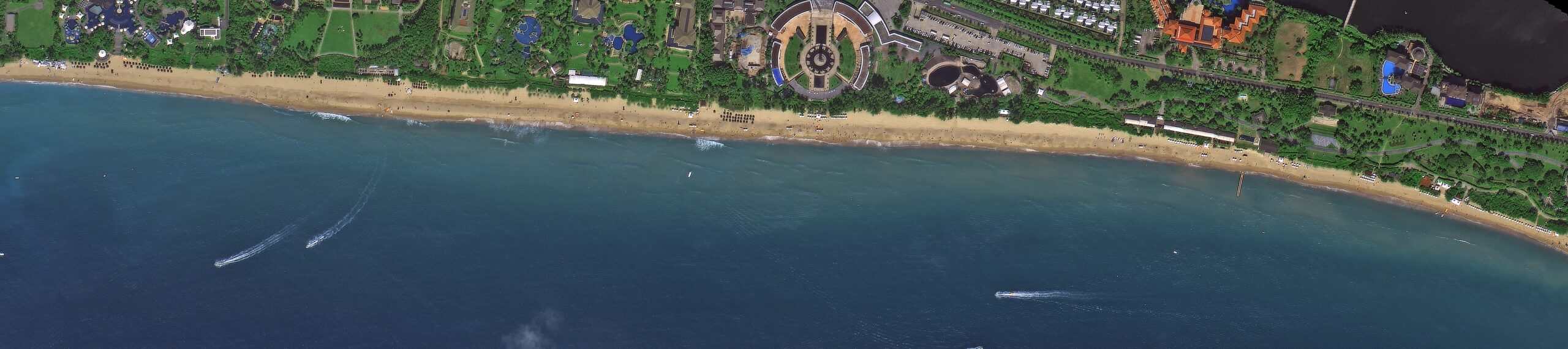
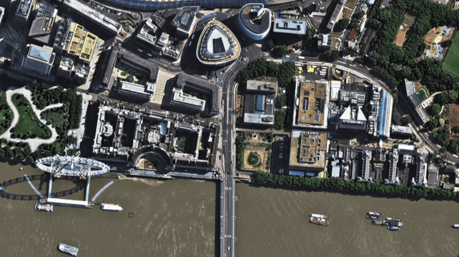
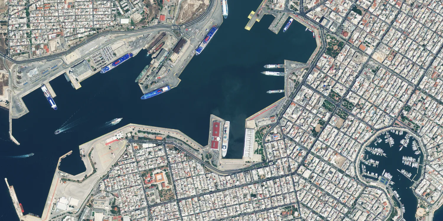
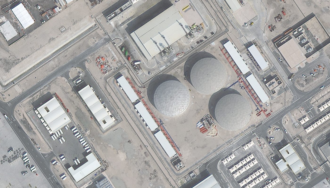
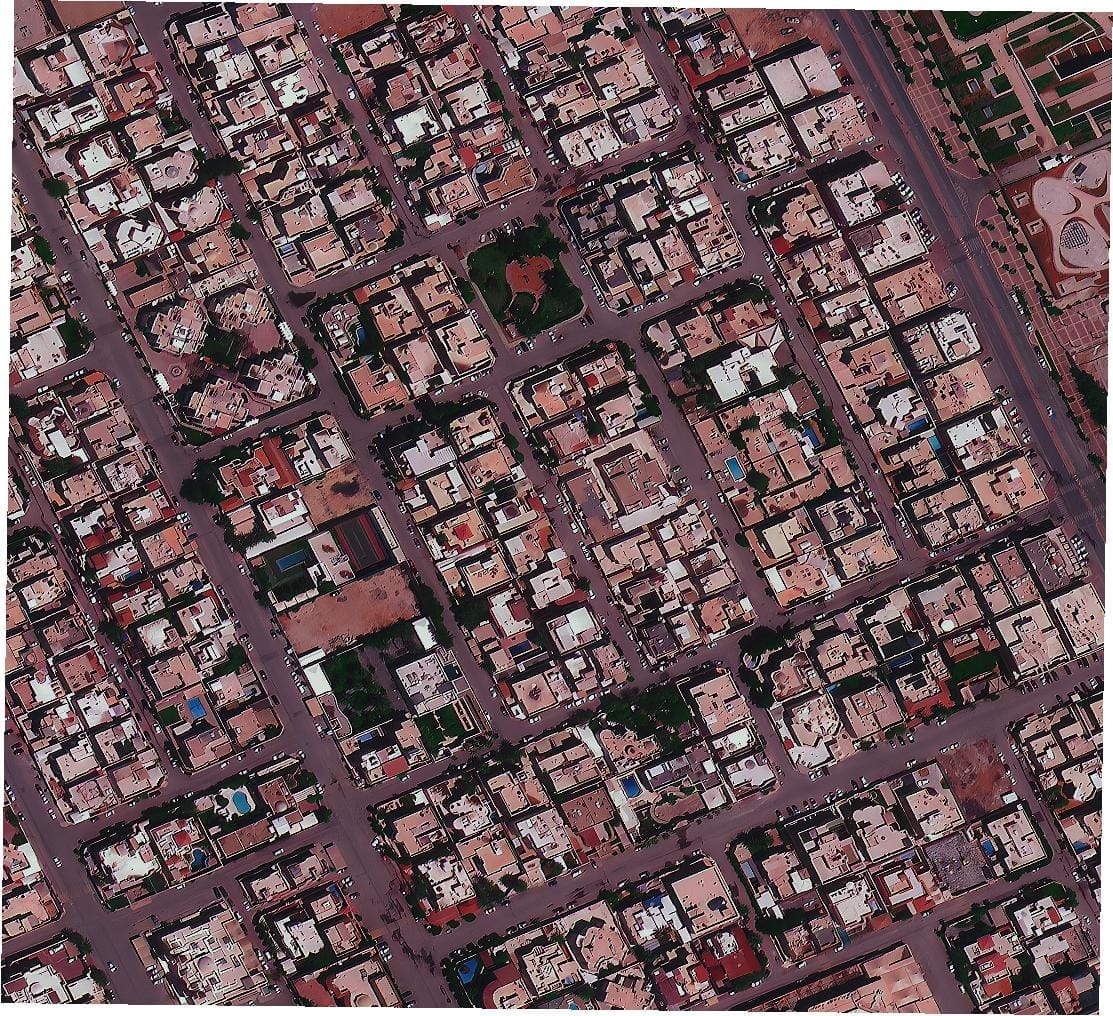
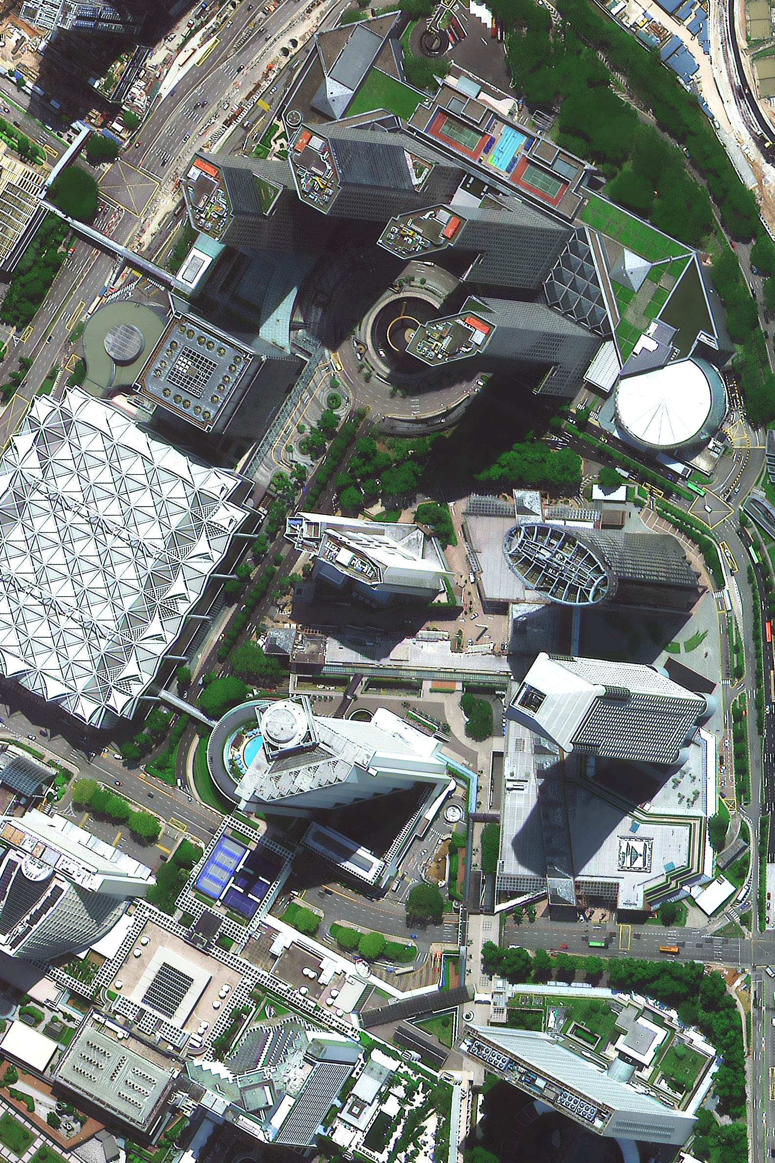
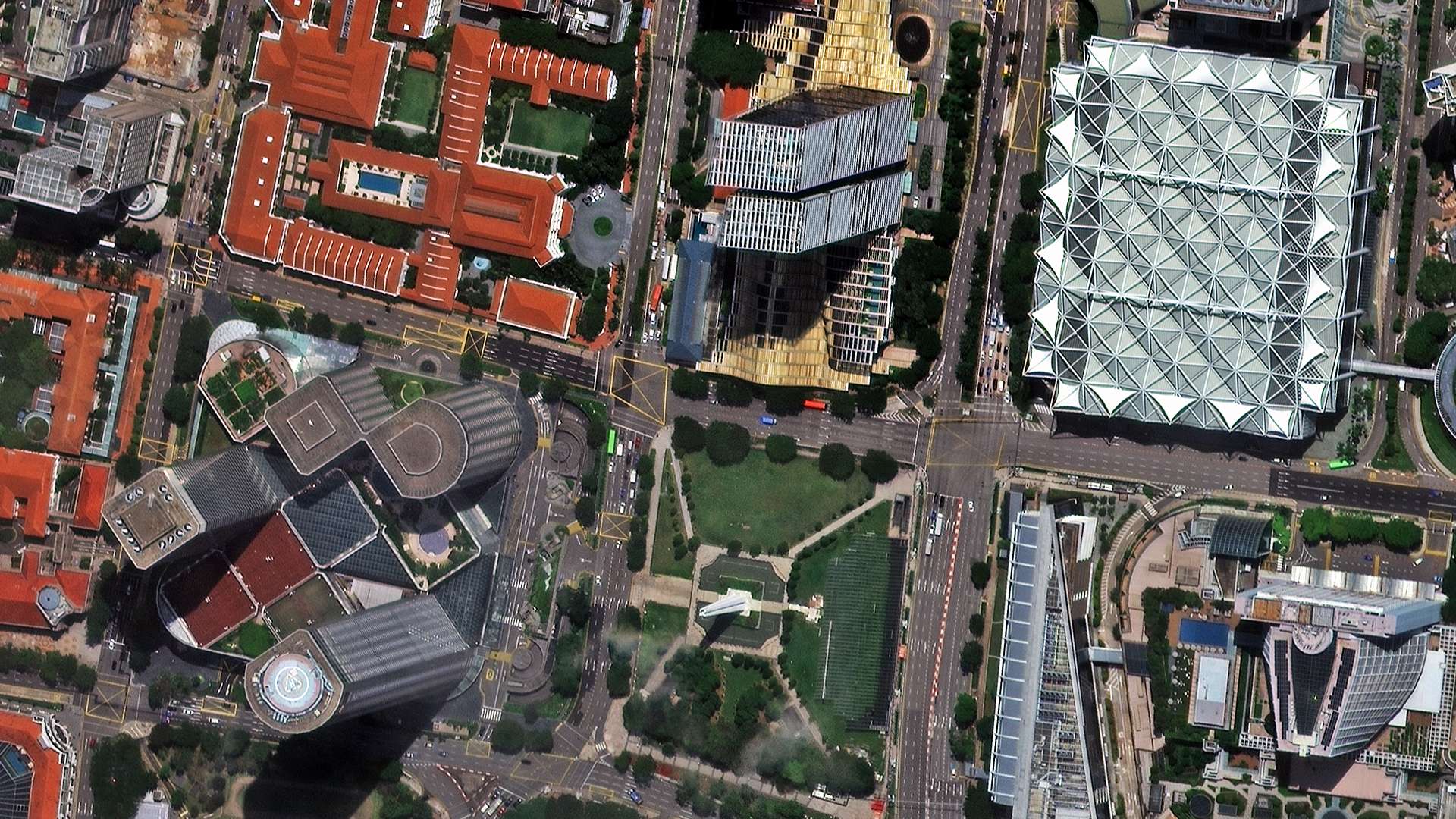
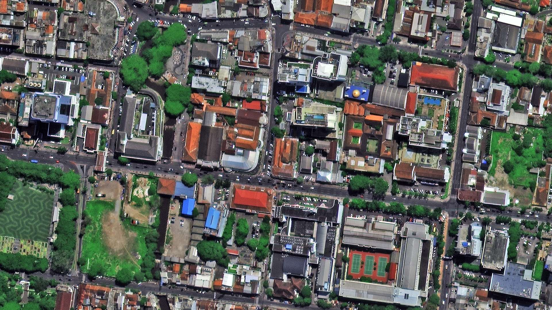
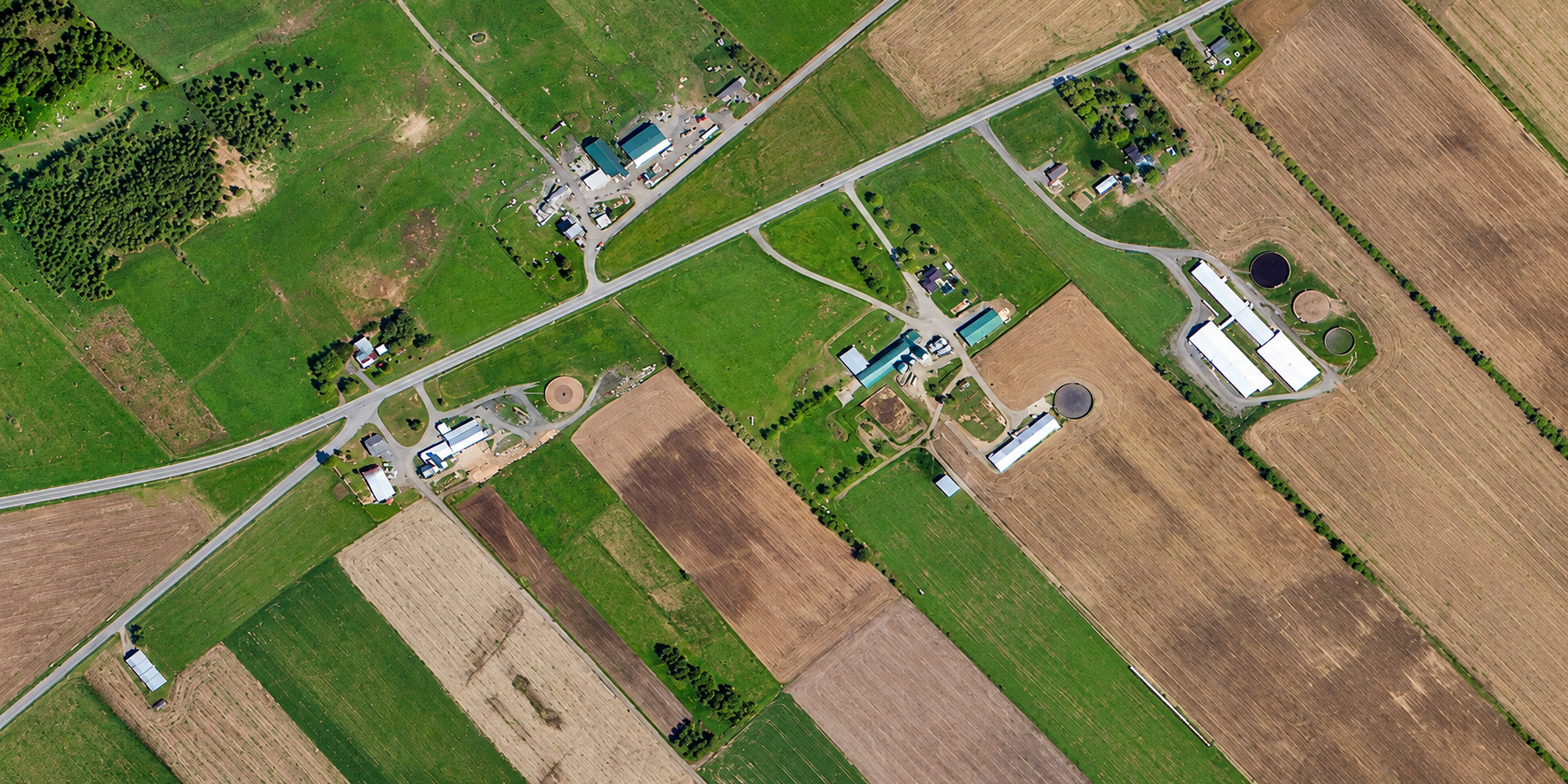
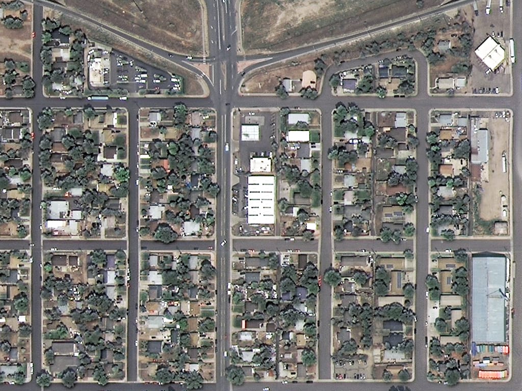
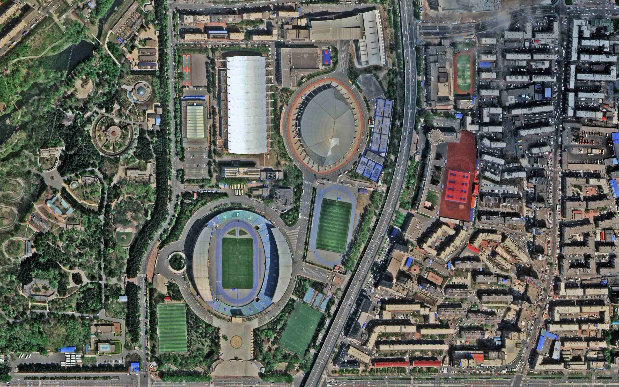
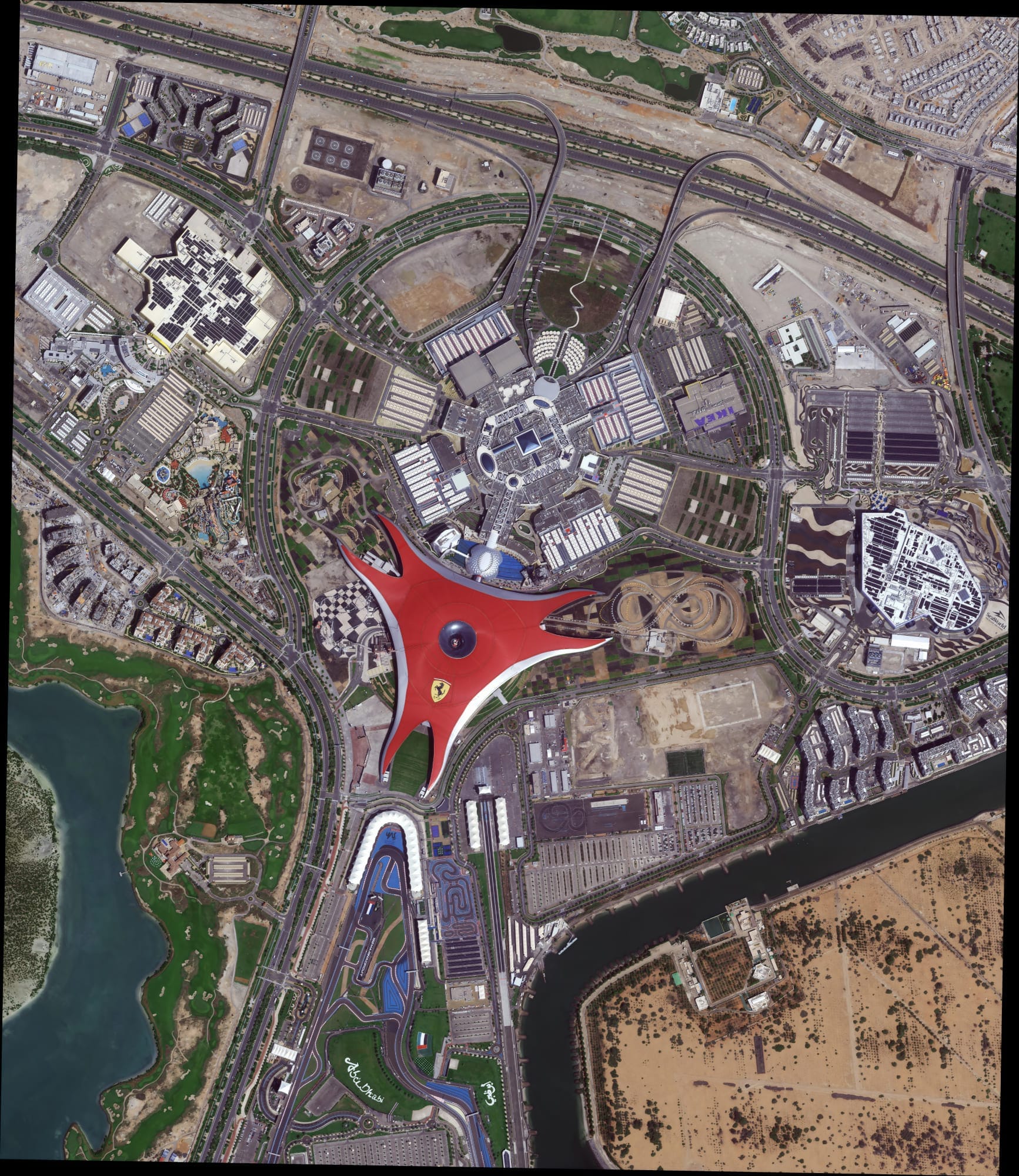
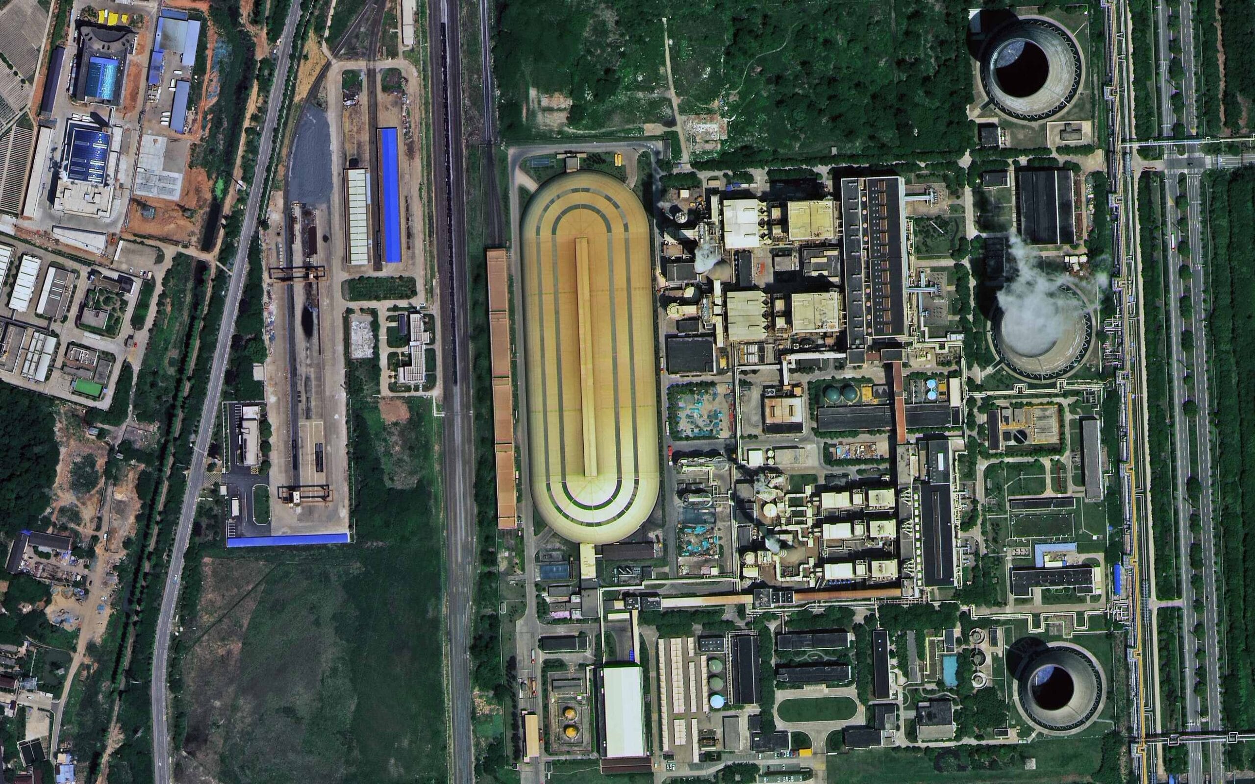
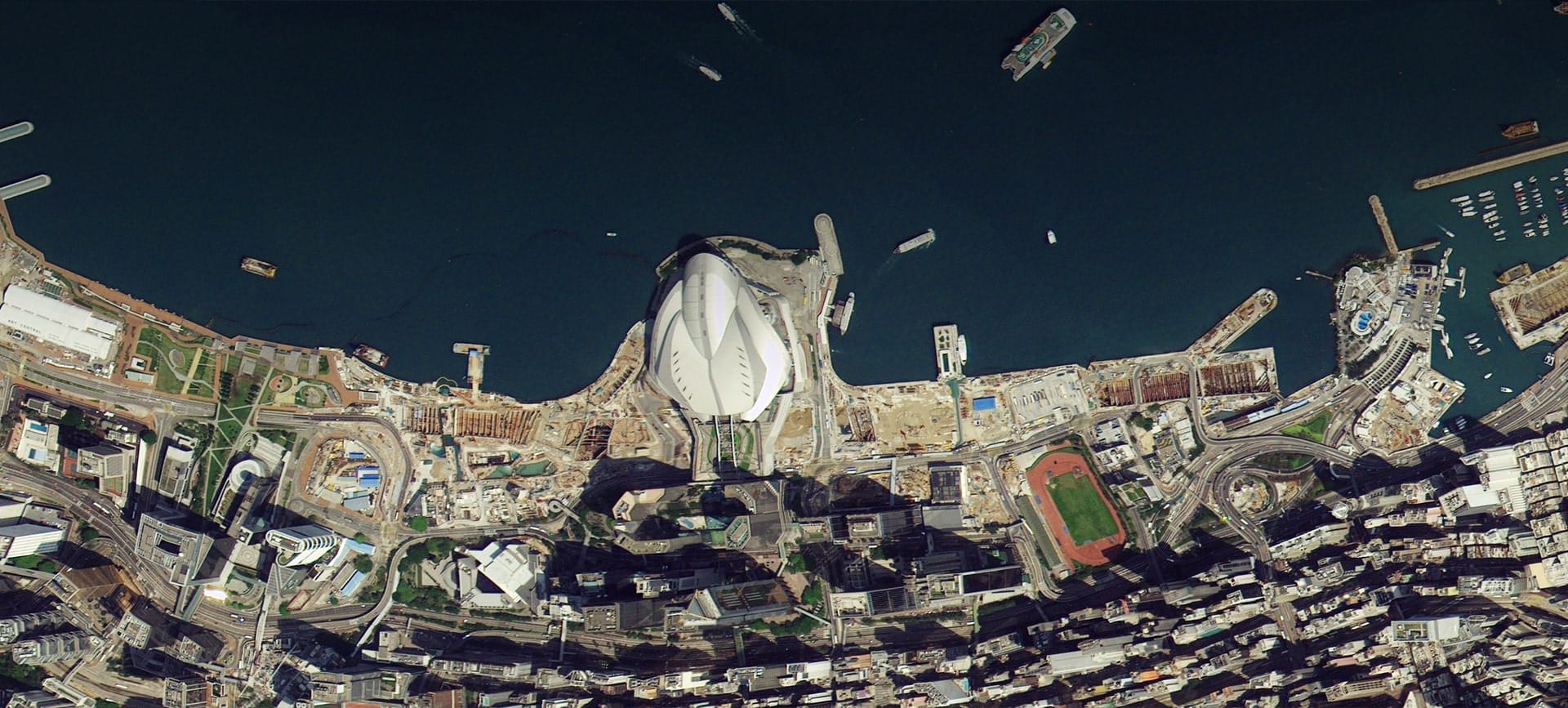
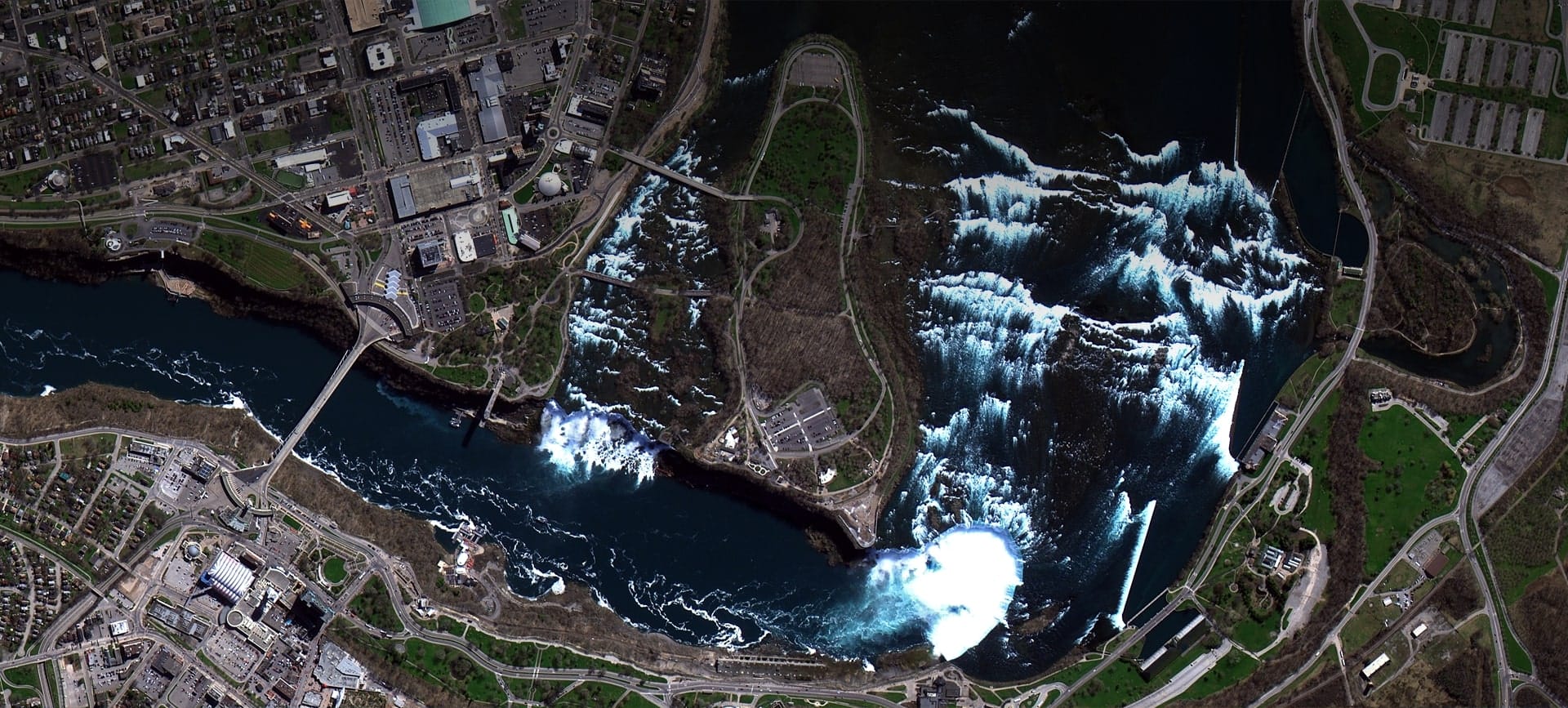
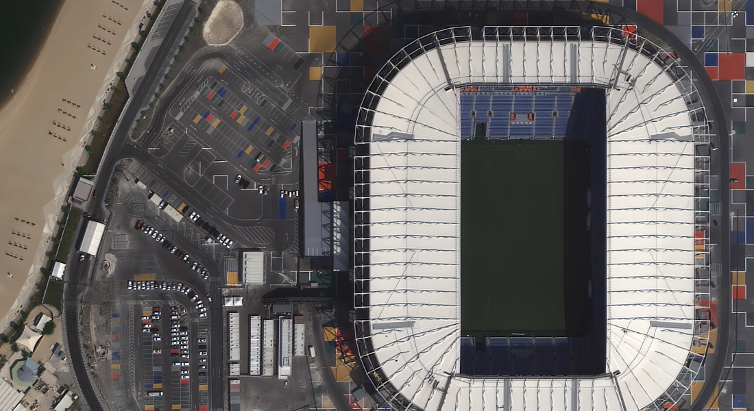
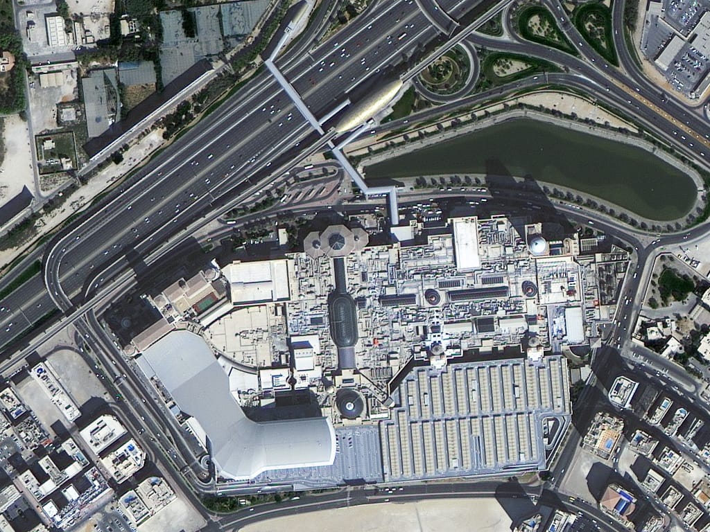
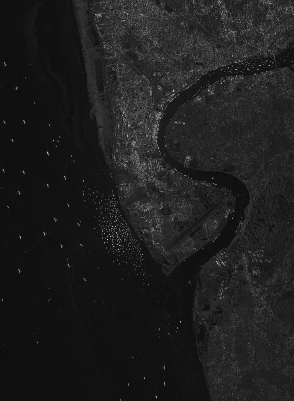
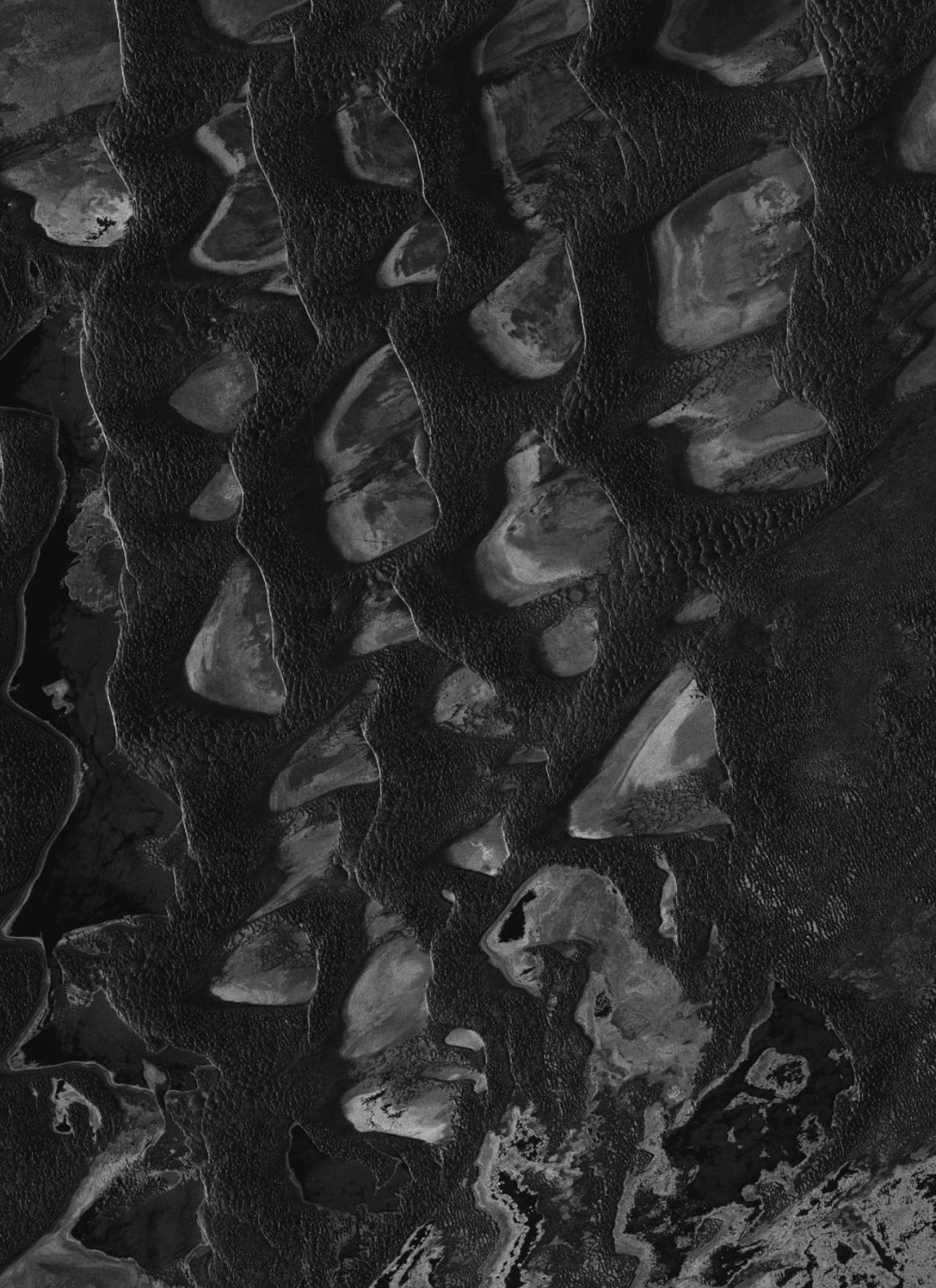
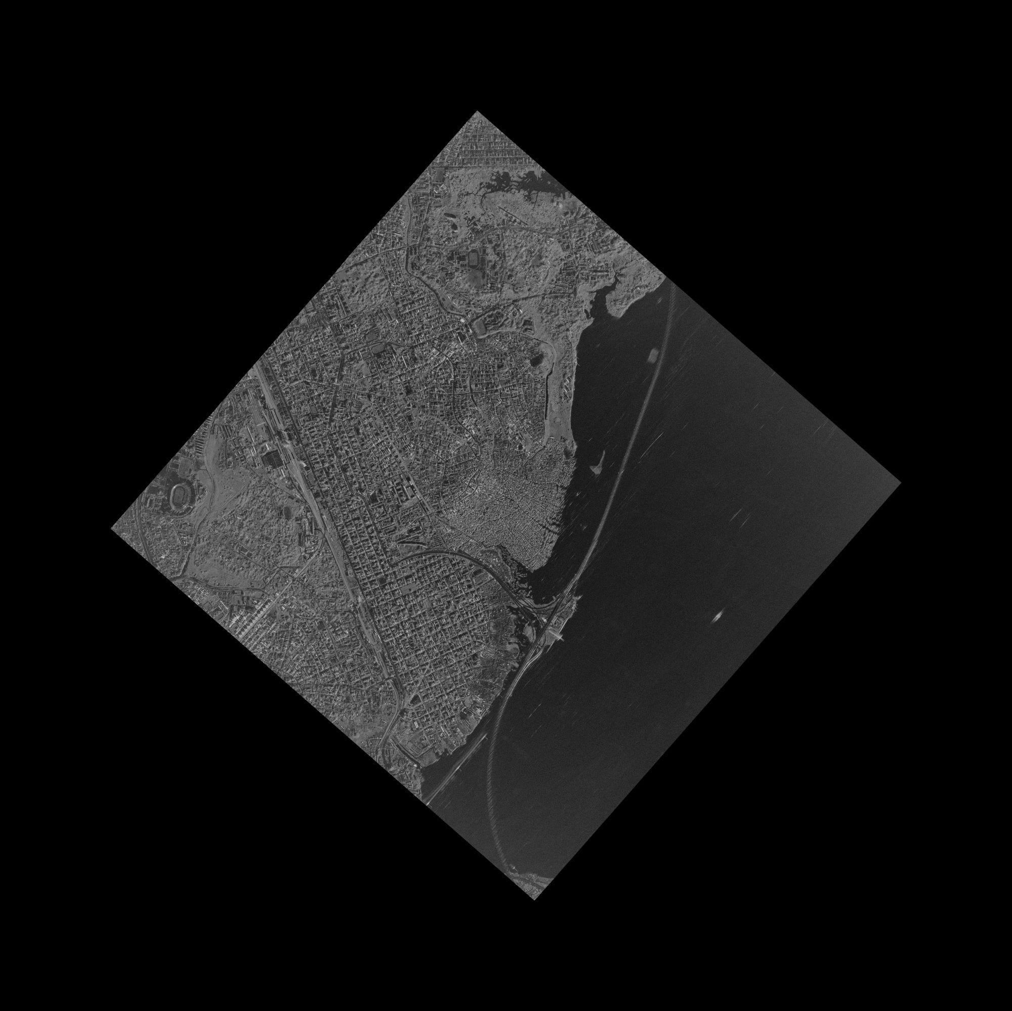
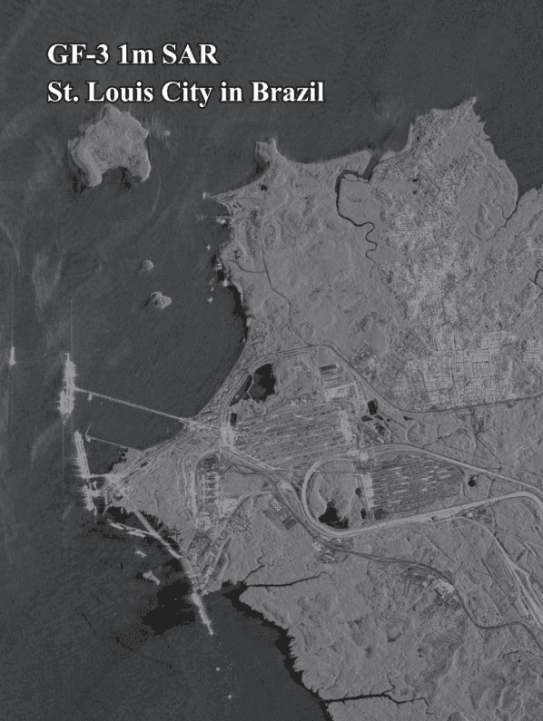
Explore real satellite images of cities, landmarks, stadiums, ports, deserts and coastlines, captured by the optical and radar (SAR) satellites we sell imagery from. Click any image to view it full size, or open its page for the description and tech specs.
Filter by sensor or theme. Click a picture to open it full size in the lightbox, or open its page for the full description and tech specs.


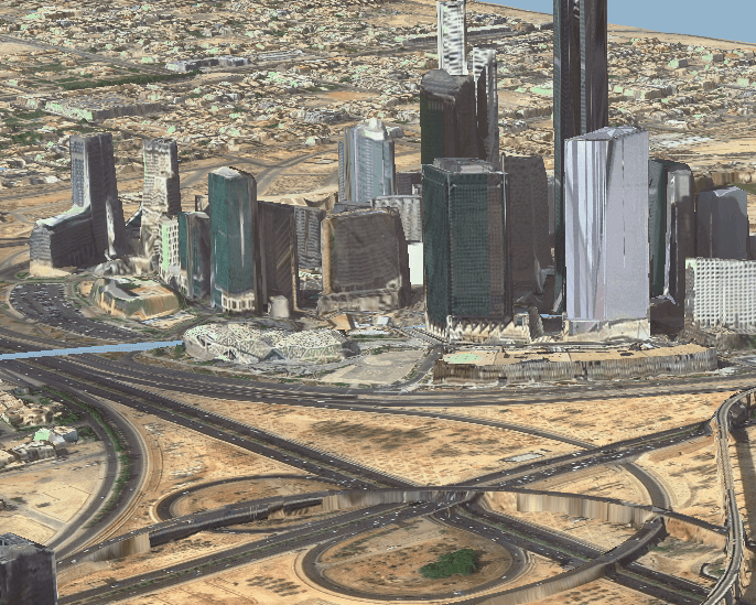
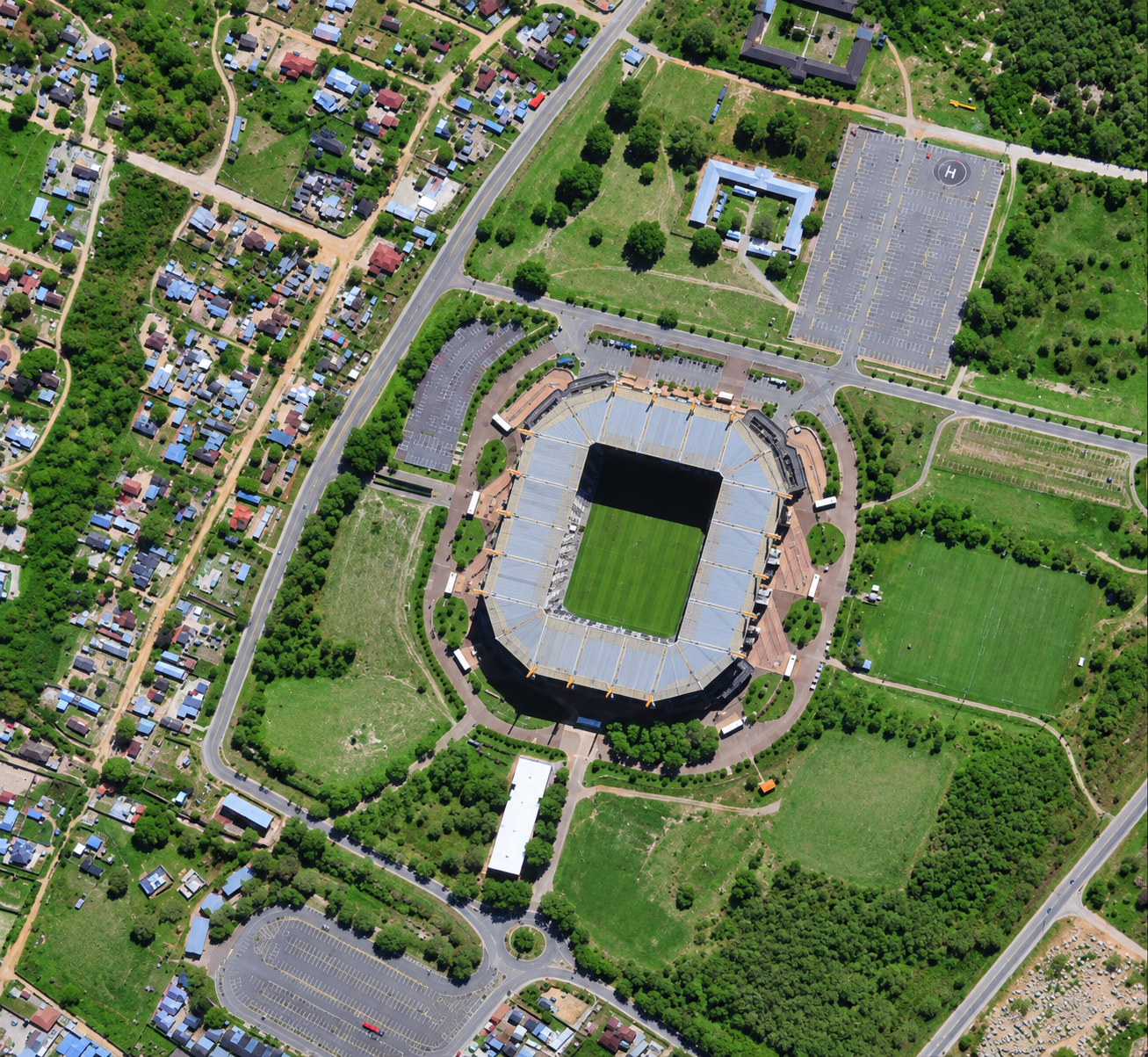
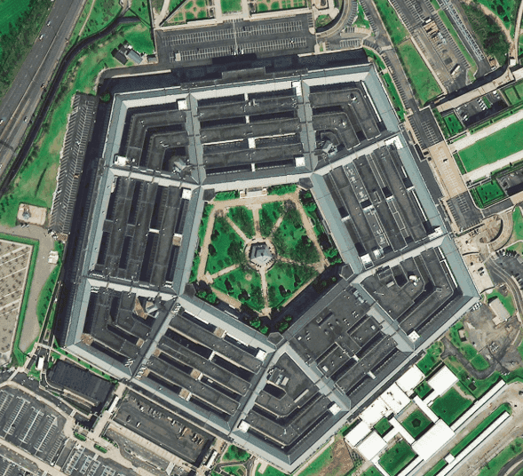
Optical · Sub-metre · Riyadh, Saudi Arabia
View image details


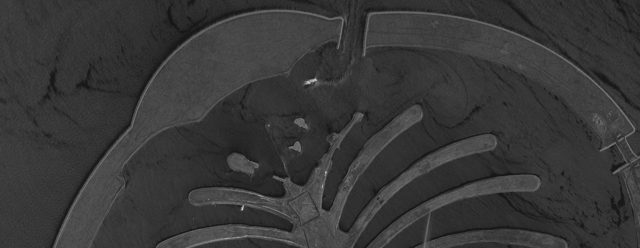
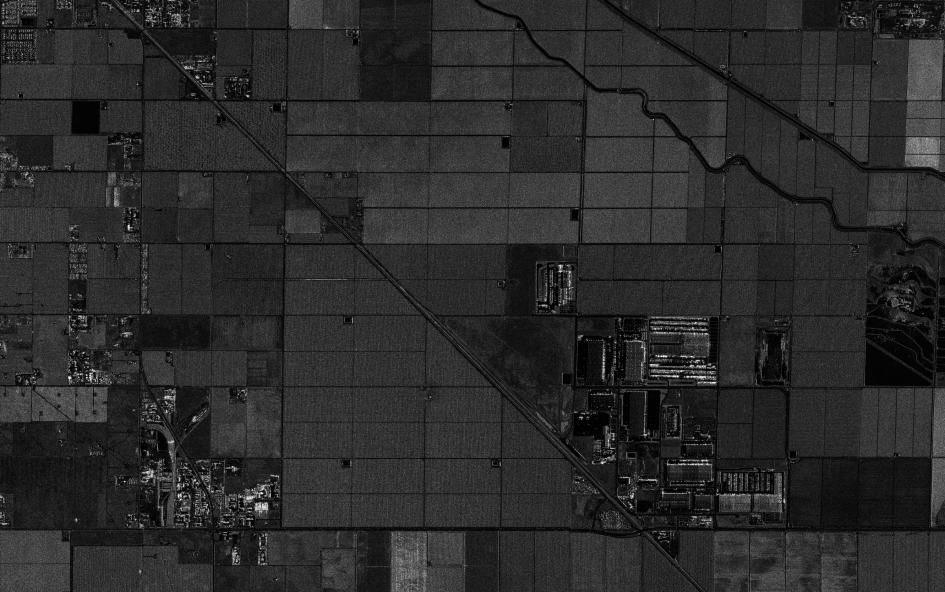
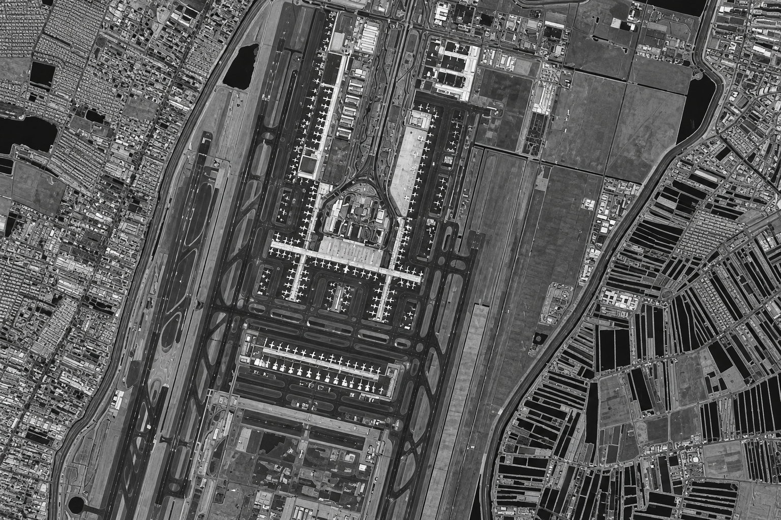
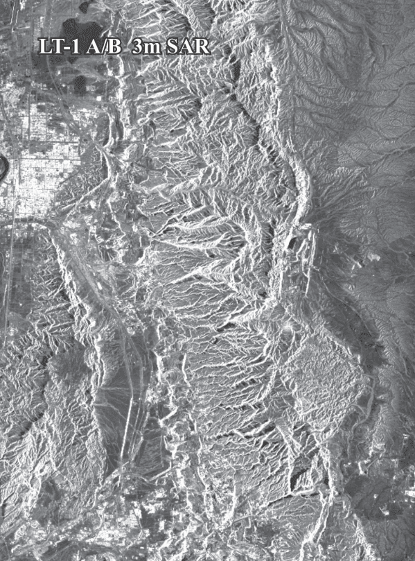
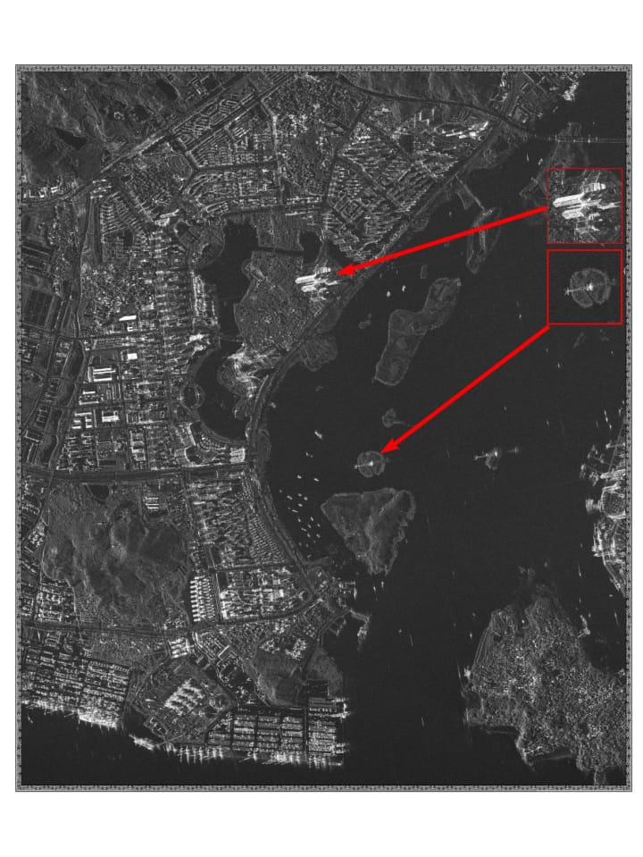
SAR · High resolution radar · Queensland, Australia
View image details


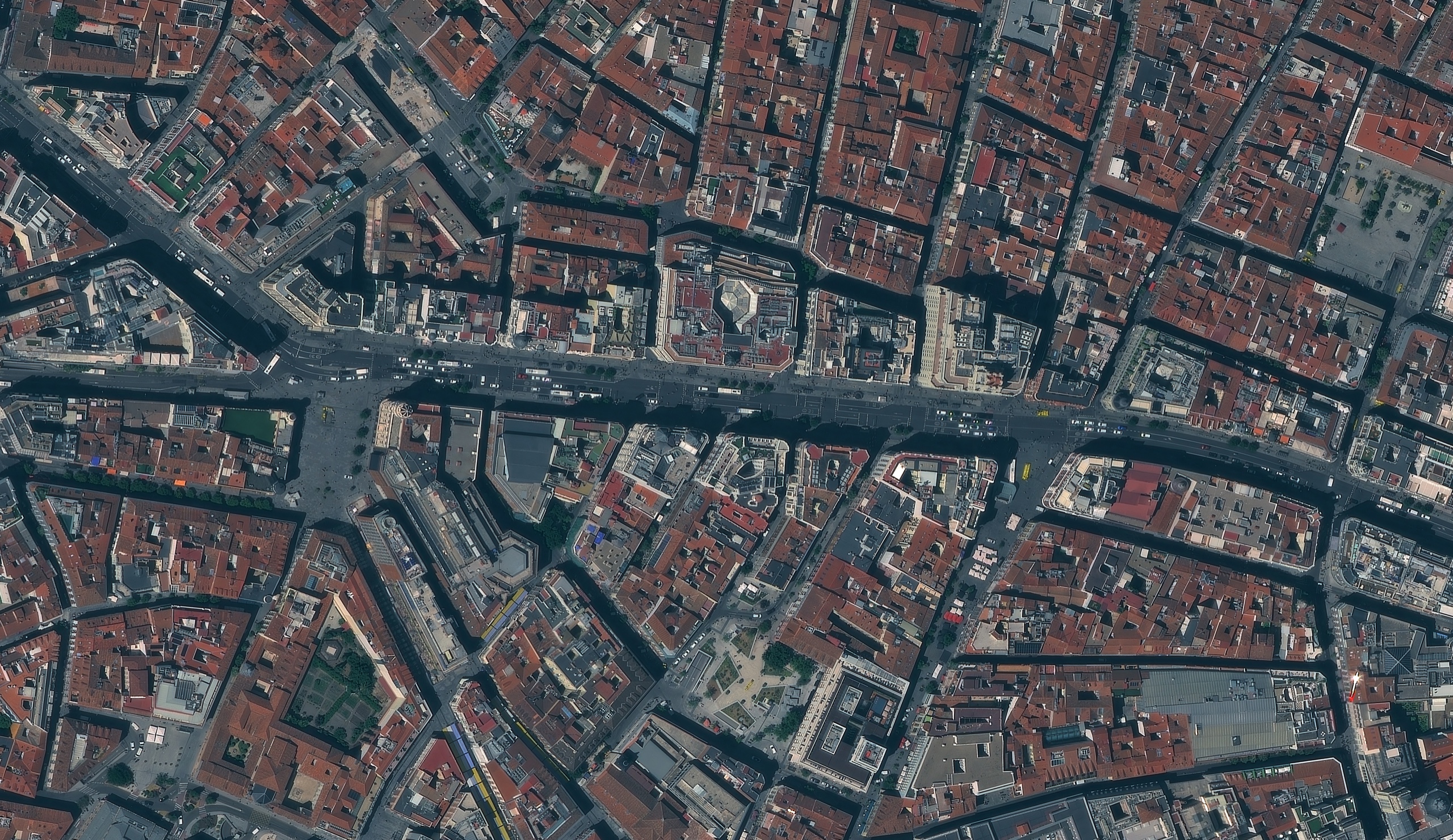
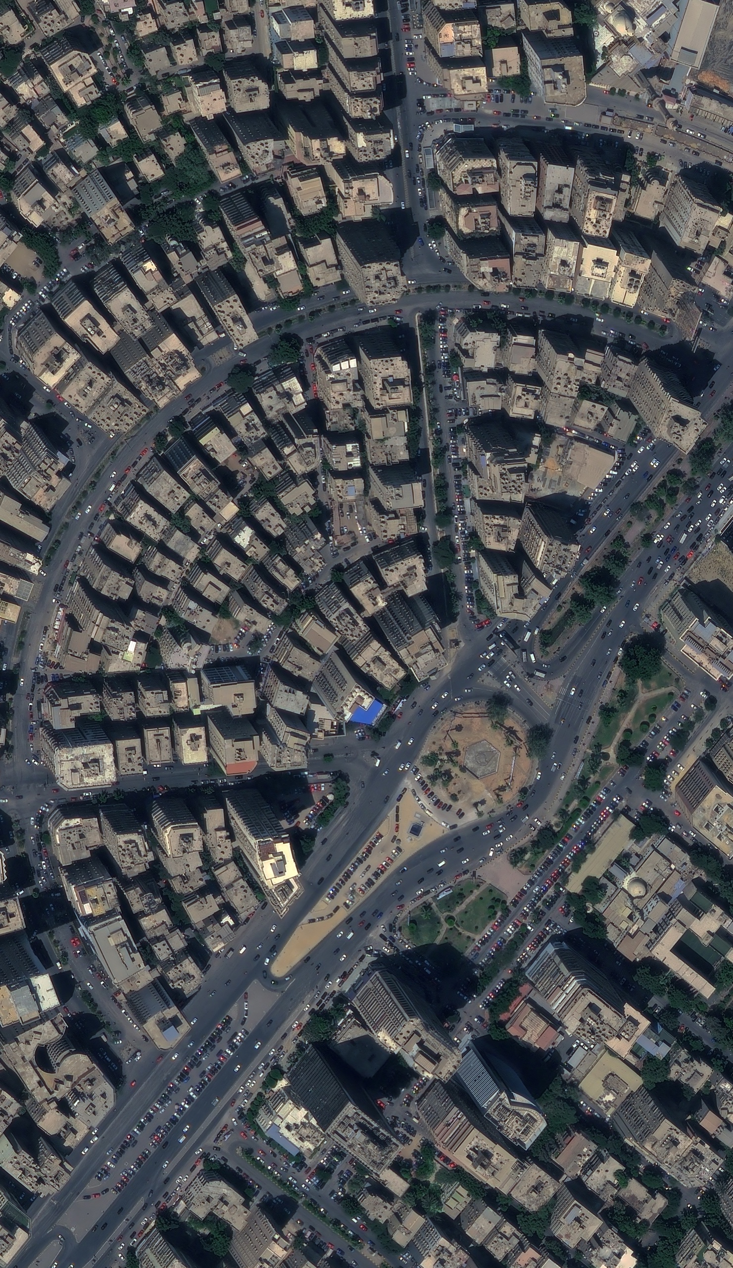
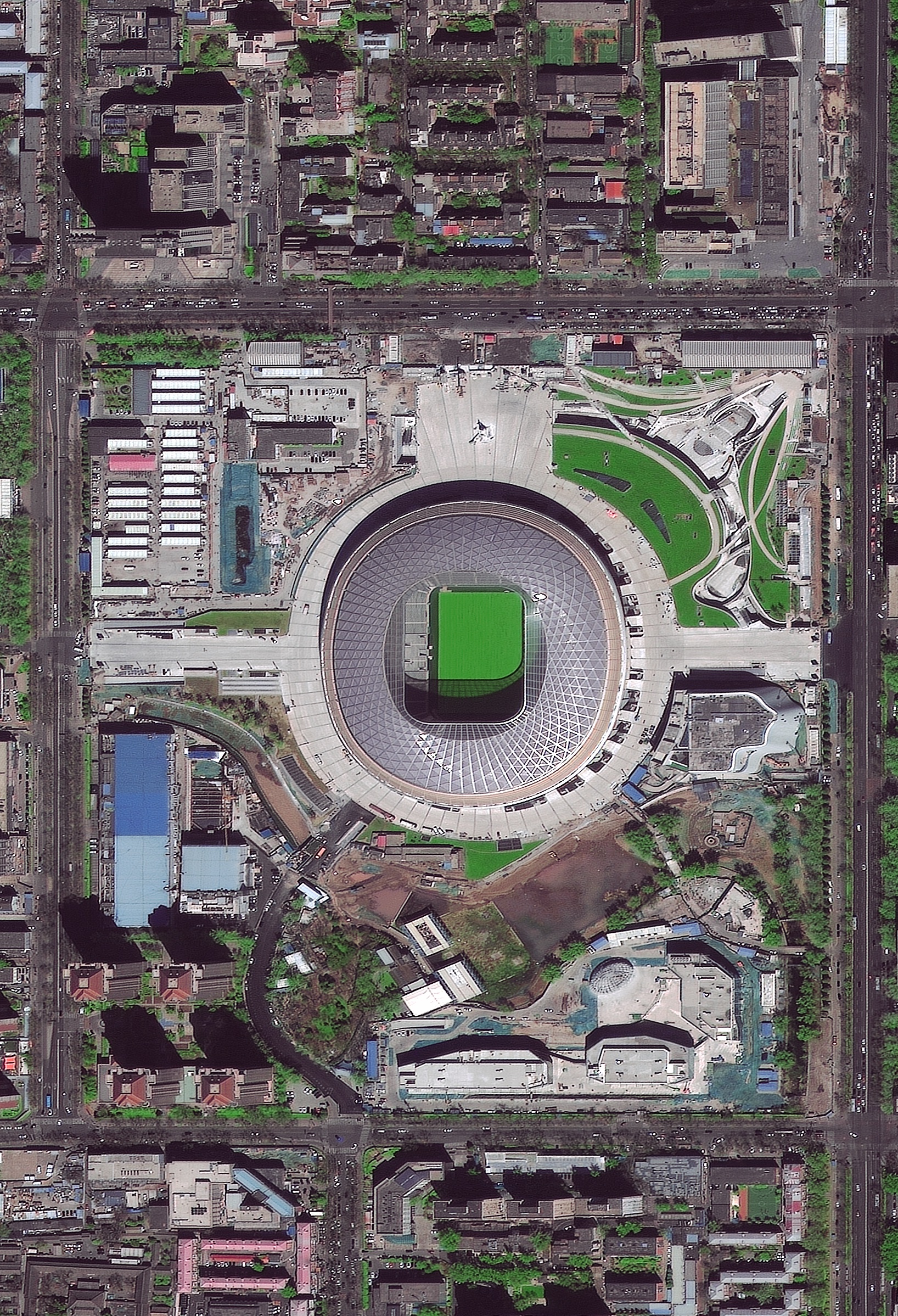
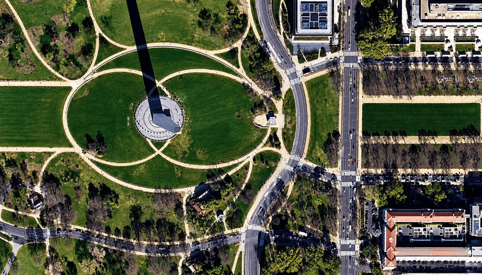
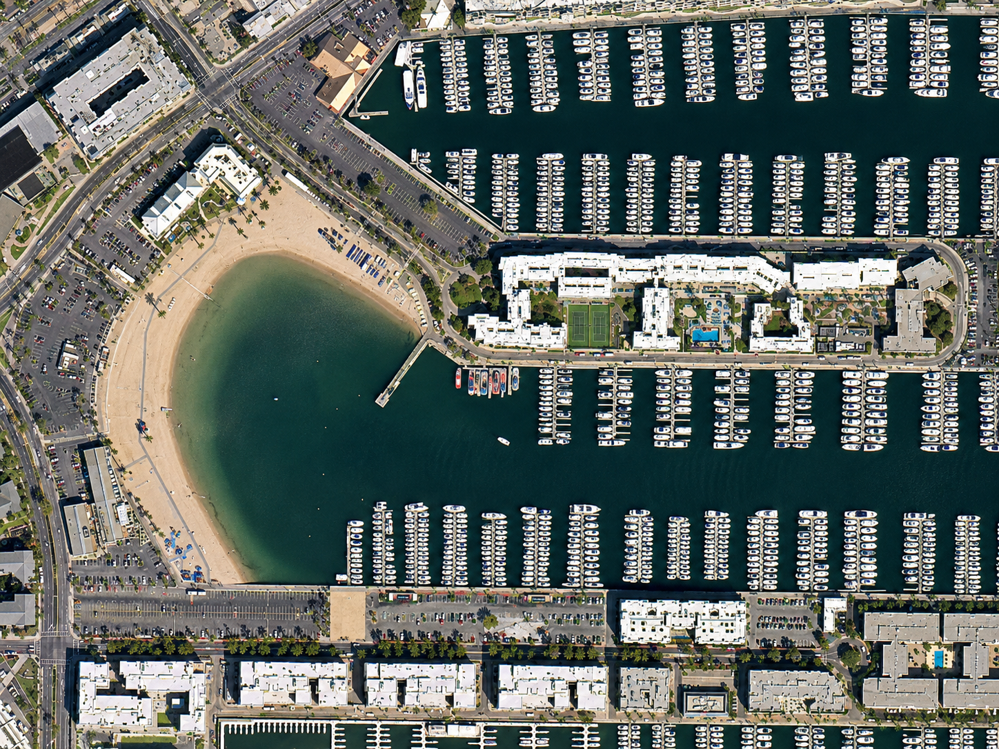
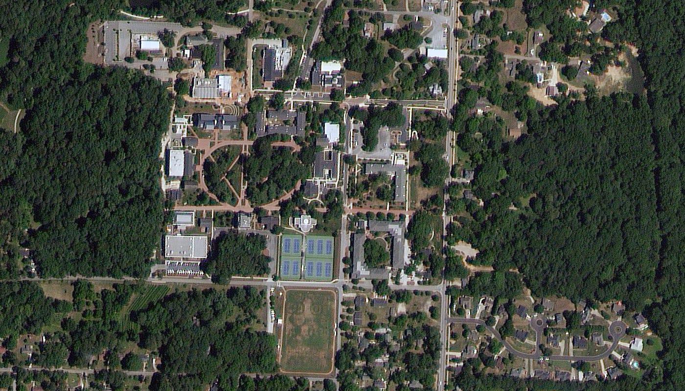
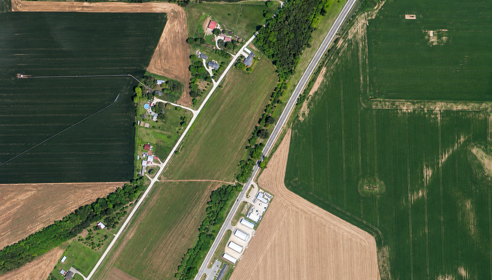
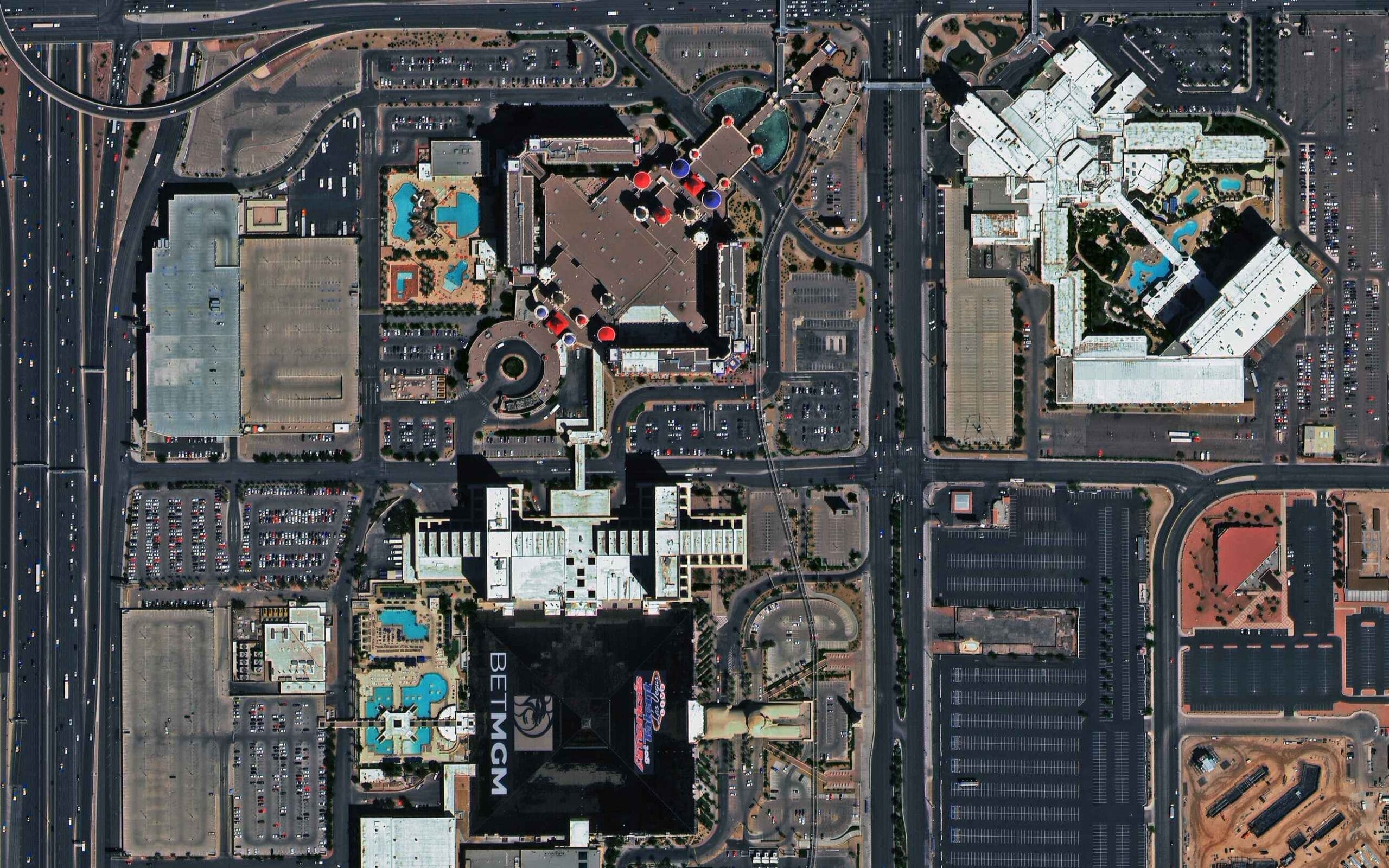
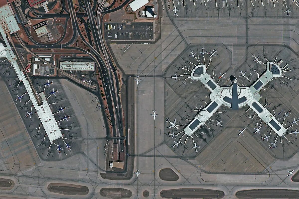
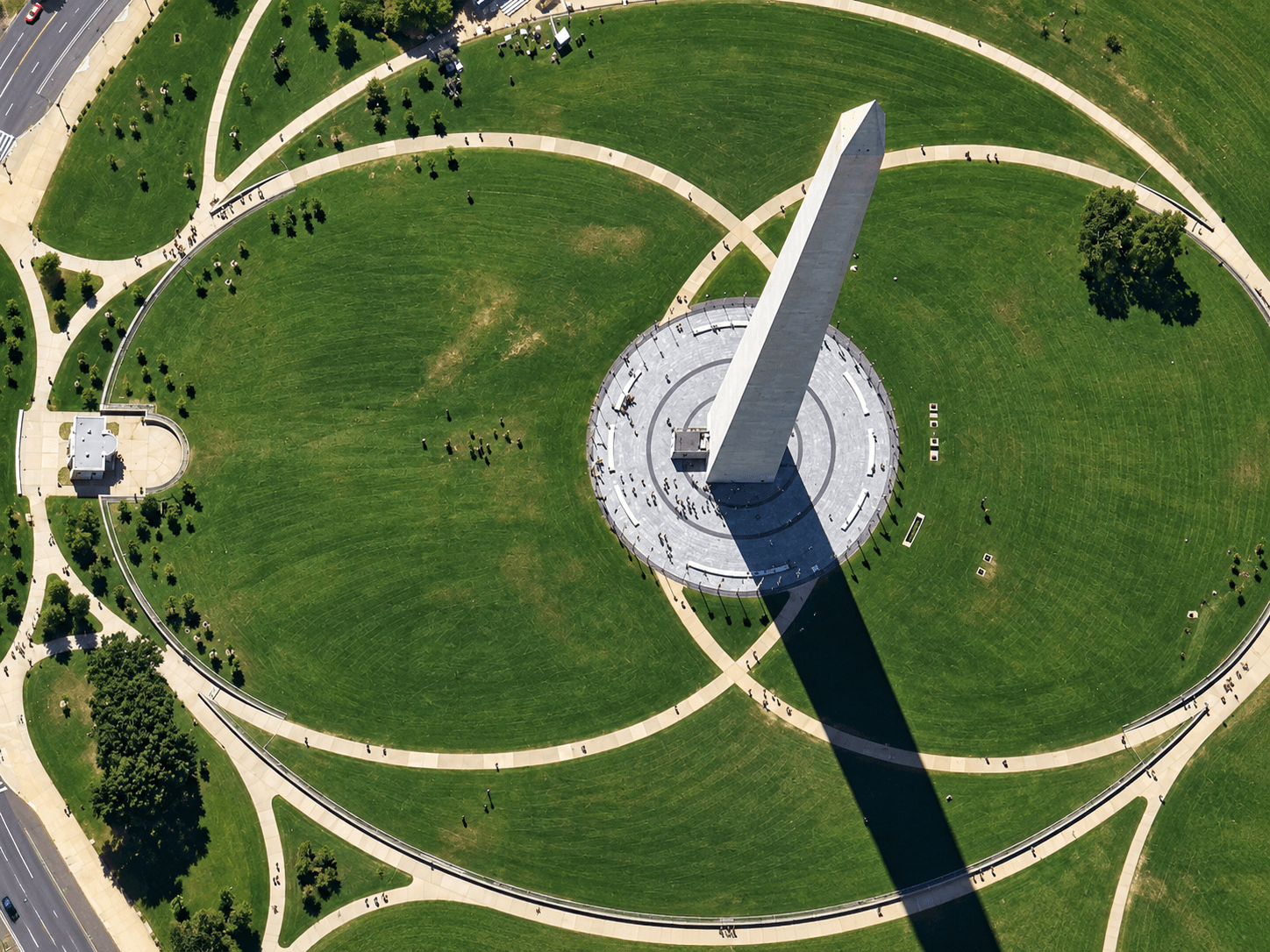
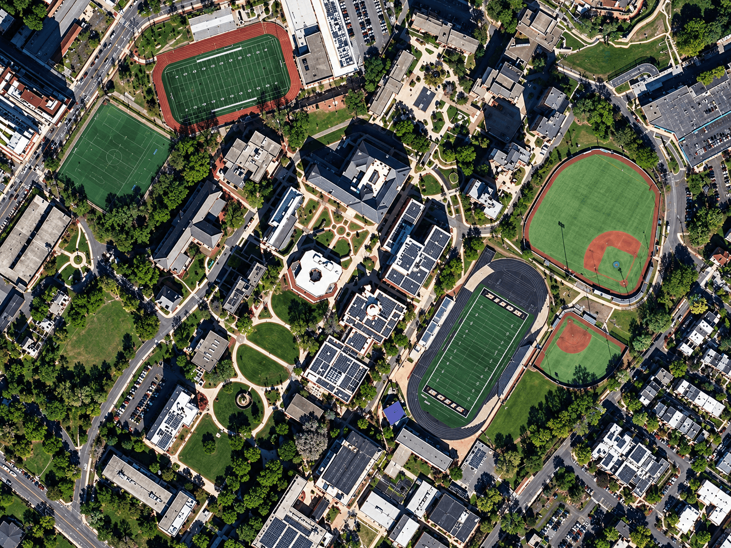
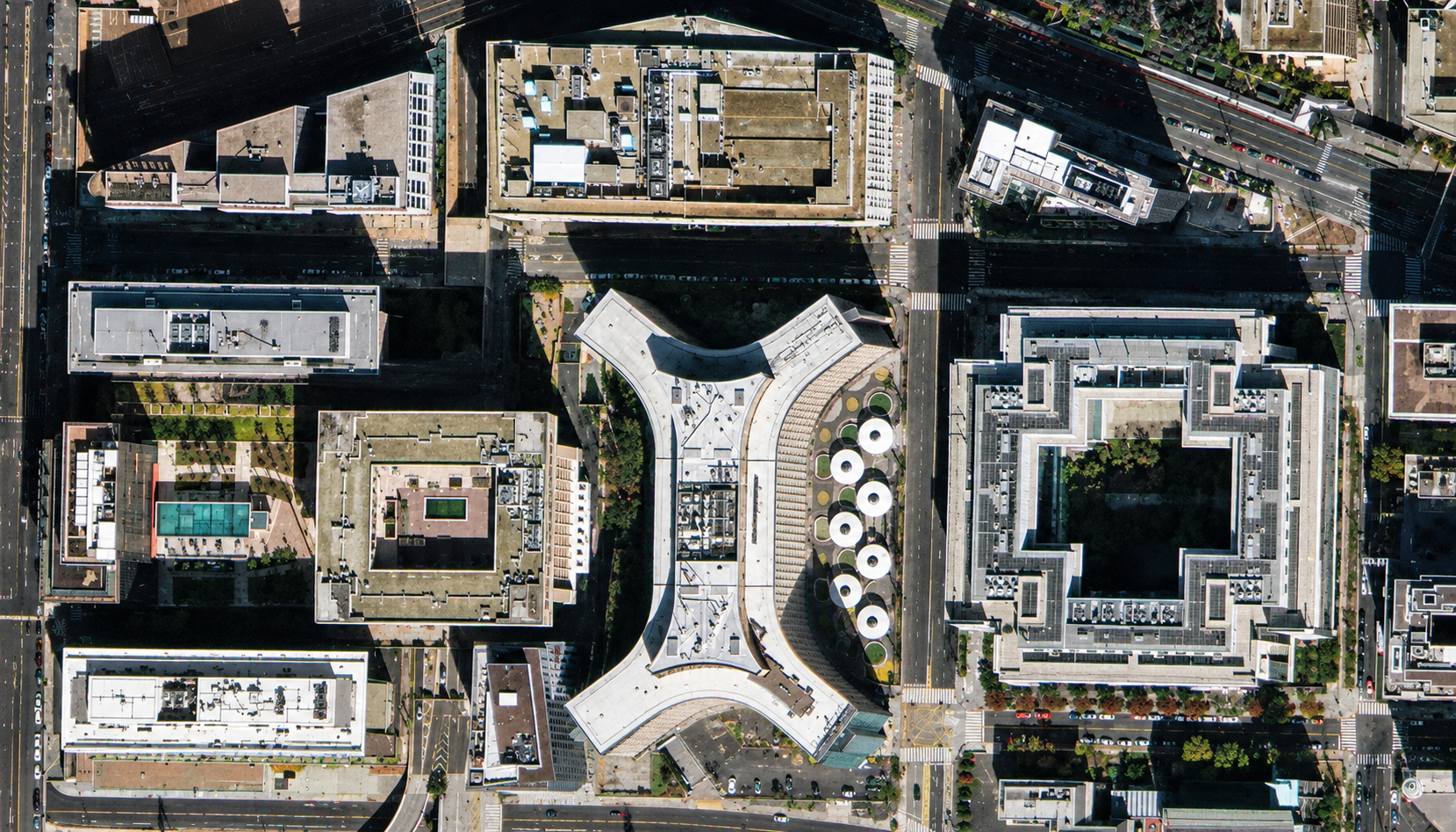
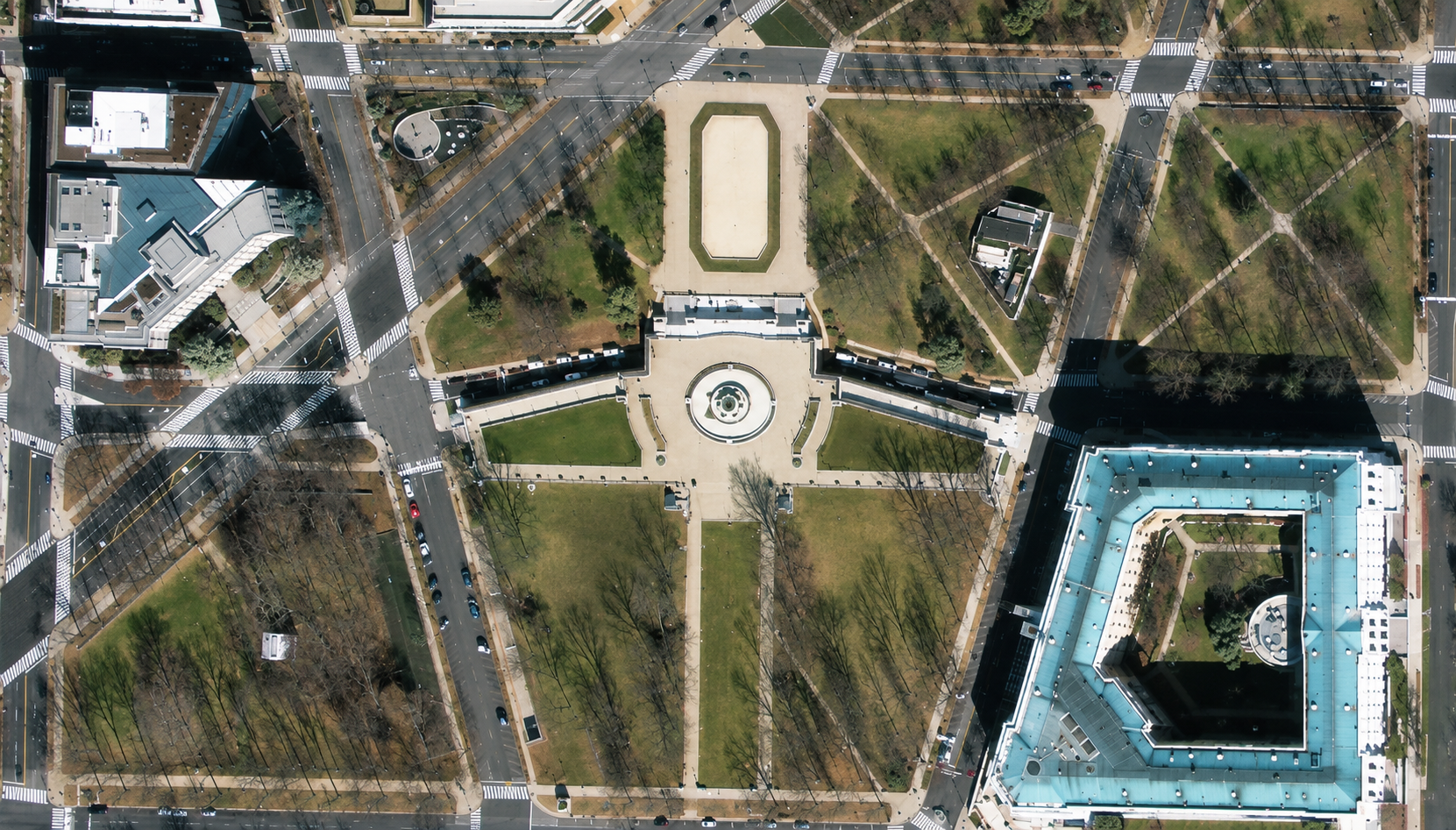
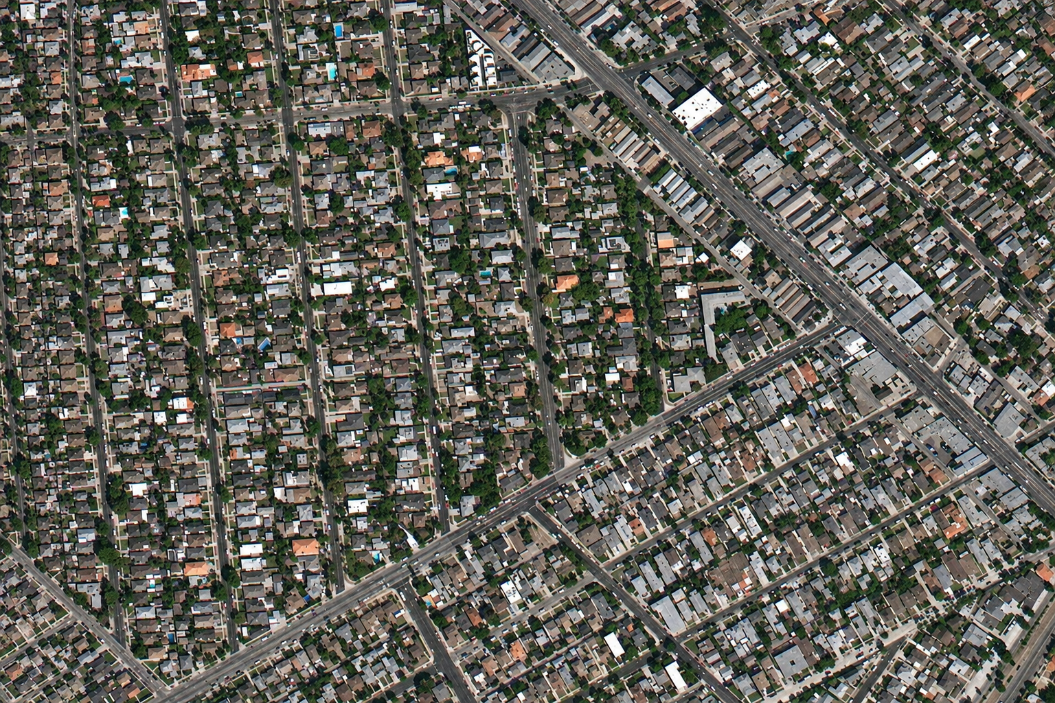
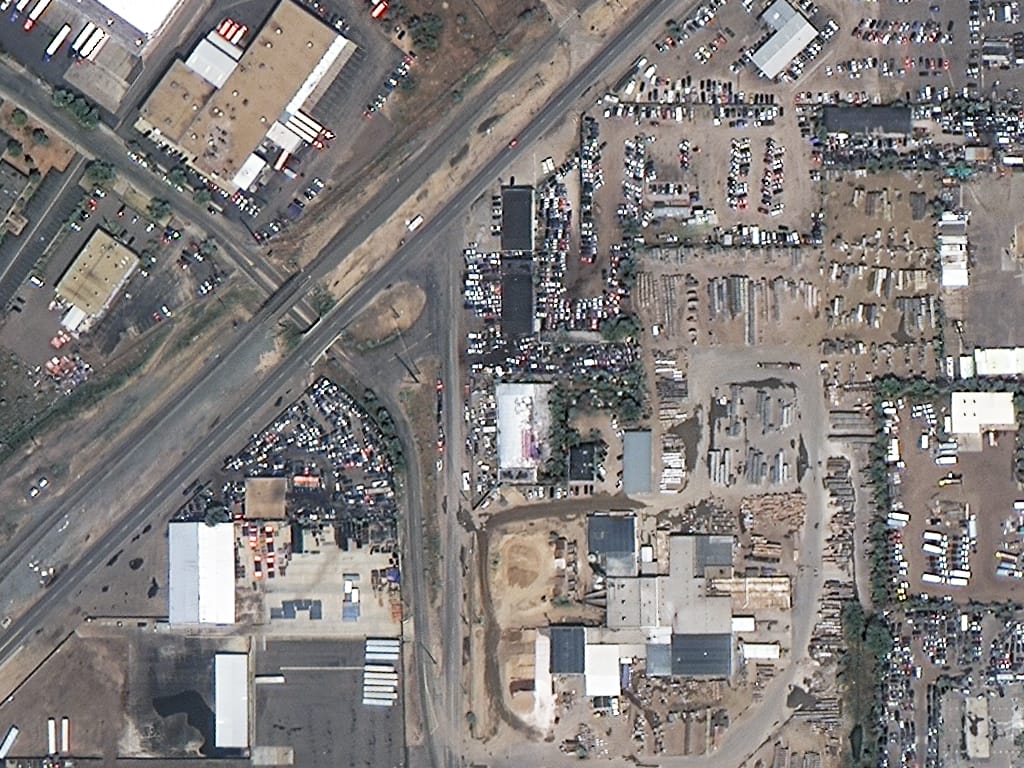
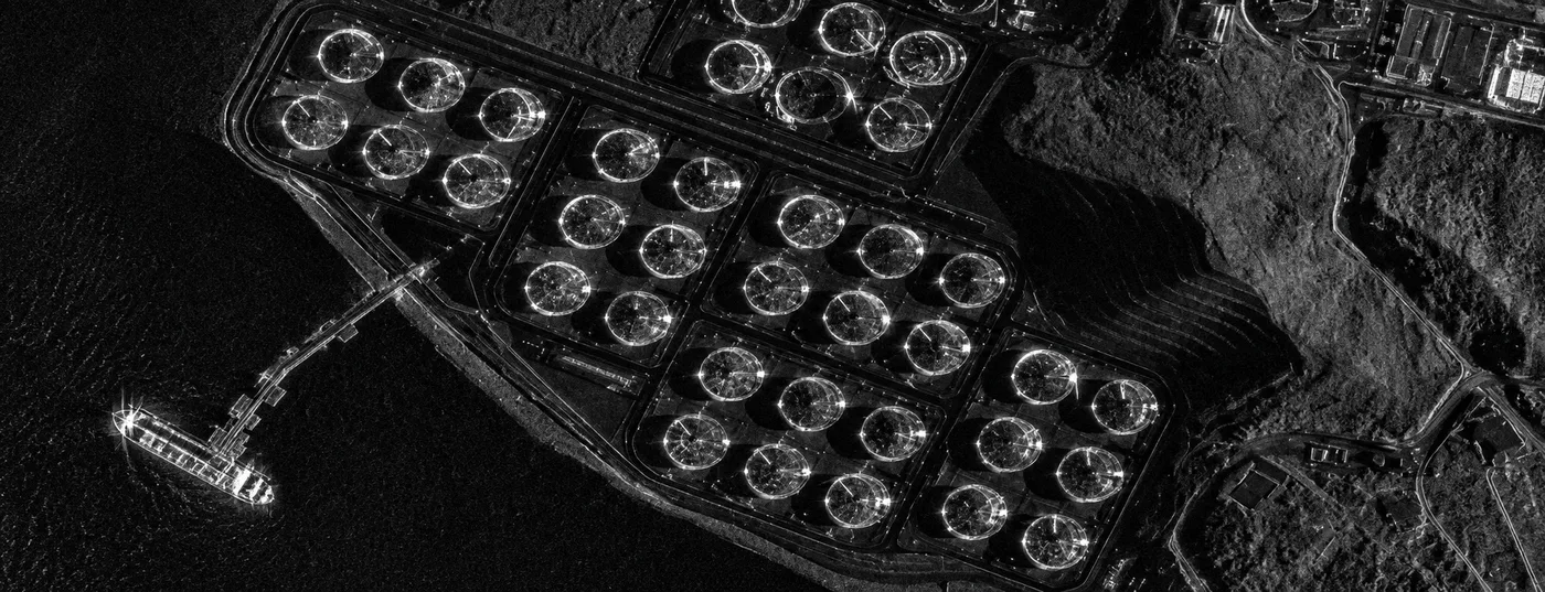
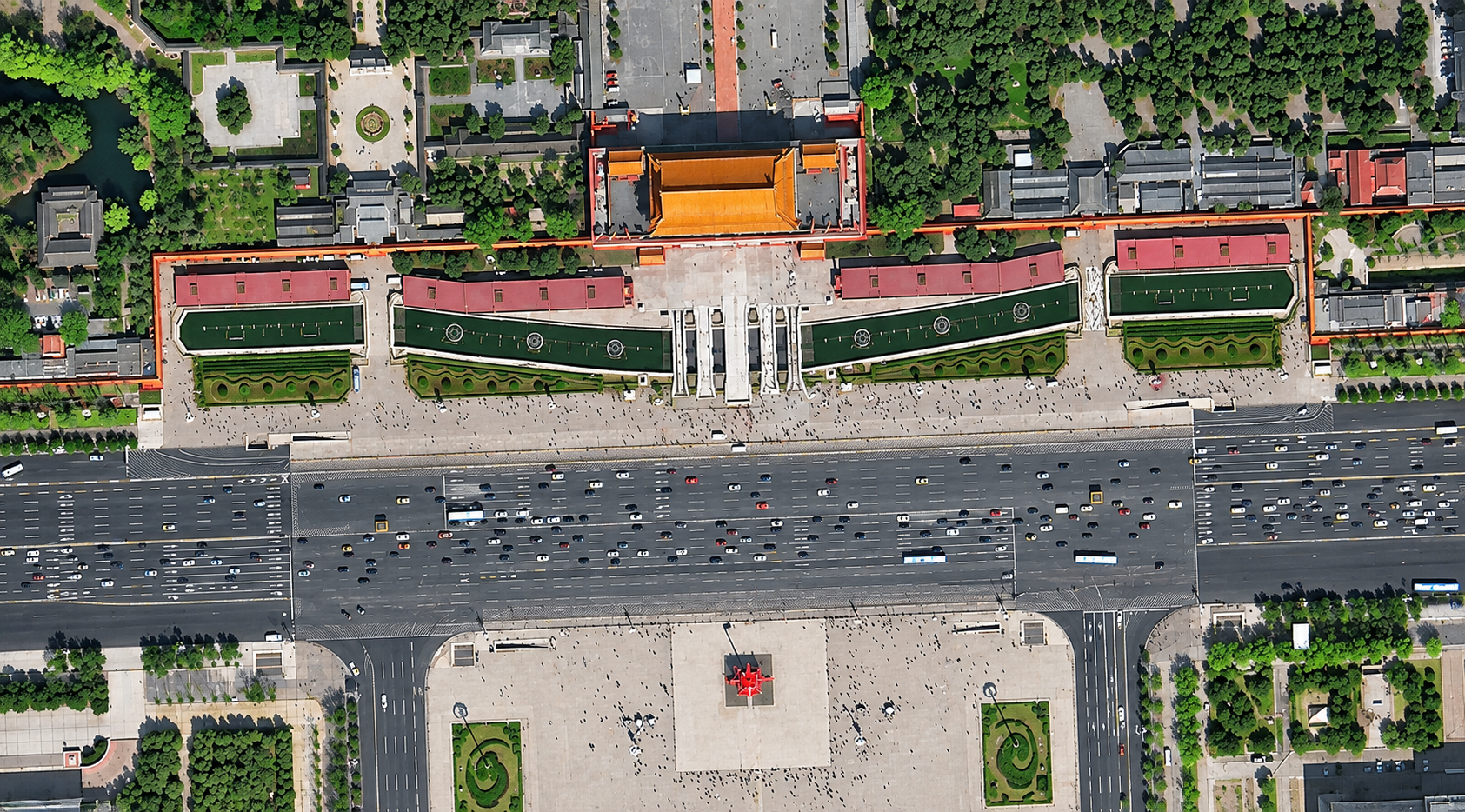
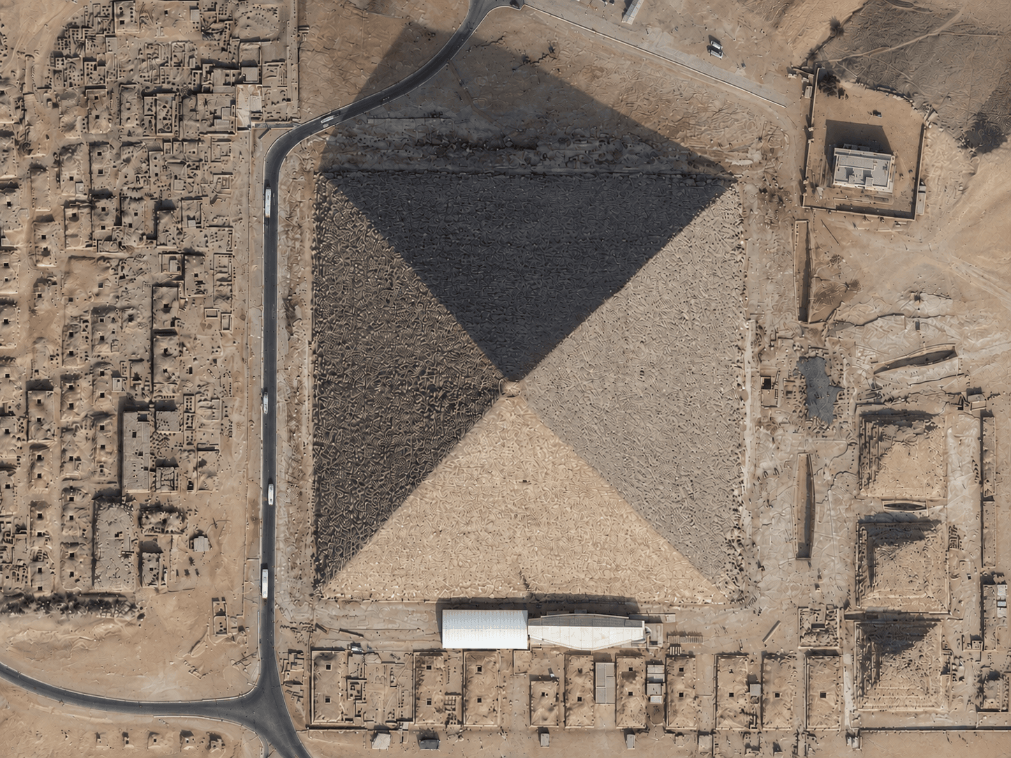
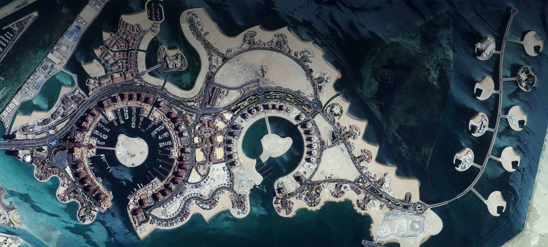
This satellite image gallery brings together some of the clearest images captured by the optical and radar (SAR) satellites that XRTech Group sells imagery from. You will find famous landmarks such as the Burj Khalifa and the Sydney Opera House, dense city centres like Madrid and Cairo, stadiums, ports and shipyards, deserts, coastlines and farmland across the USA, Europe, the Middle East, Asia and Australia.
Every picture links to its own page with a short description, what you can see in the scene and the tech specs: sensor, satellite, resolution, location and delivery formats.
| Optical imagery | SAR (radar) imagery | |
|---|---|---|
| How it works | Records reflected sunlight | Sends its own microwave signal and records the echo |
| Clouds and night | Needs daylight and clear skies | Images through cloud, smoke and darkness |
| What it looks like | Natural colour, like a photo | Black and white texture of surface and structure |
| Best for | Mapping, planning, visual checks, real estate | Regular monitoring, flooding, ships, oil spills, ground movement |
Learn more on our optical satellite imagery and SAR satellite imagery pages.
Resolution, or ground sample distance, is the size of one pixel on the ground. The smaller the number, the more detail you get.
| Resolution | What you can see |
|---|---|
| 30cm and 15cm HD | Cars, road markings, rooftop equipment, small structures |
| 40cm and 50cm | Individual buildings, vehicles, roads, construction progress |
| 80cm to 1m | Building footprints, fields, roads and land use over wide areas |
See our satellite imagery pricing or go straight to buy high resolution satellite imagery.
The images on this page are previews for viewing and evaluation. For commercial use in maps, reports, apps, publications or legal work, order licensed imagery of your area. Every order comes with a commercial licence.
Yes. Every image in this gallery was captured from orbit by an optical or radar (SAR) Earth observation satellite. None of them are aerial photos, drone images or computer renders.
Native optical imagery goes down to 30cm per pixel, and 15cm HD imagery is produced from 30cm data with advanced processing. Radar (SAR) imagery is available in spotlight modes for the sharpest detail.
Optical satellites record reflected sunlight, so they produce natural colour images that look like photos but need daylight and clear skies. SAR satellites send their own radar signal, so they image through cloud, smoke and darkness, and the result is a black and white picture of surface roughness and structure.
Yes. Search the archive yourself in the XRTech satellite imagery portal, or send us your area and we check archive images and new tasking options for you and reply with a price, usually within 24 hours.
You can view every image full size and download an HD preview from its page. Preview images are for viewing and evaluation. For commercial projects, maps, reports or publications, order licensed imagery of your area.
Imagery is delivered as georeferenced GeoTIFF for GIS and CAD, with JPEG and KMZ options for quick viewing and Google Earth. Orthorectified, pan-sharpened and multispectral products are available.
Price depends on resolution, area size and whether the image comes from the archive or a new tasking. See the pricing page for per square kilometre rates and minimum order sizes, or ask for a free quote.
New images are added as our satellites capture notable places and events, so check back for new optical and SAR examples.
Archive and new tasking from 15cm HD to 80cm optical and all-weather SAR, delivered worldwide. Send your area and get options and a price, usually within 24 hours.